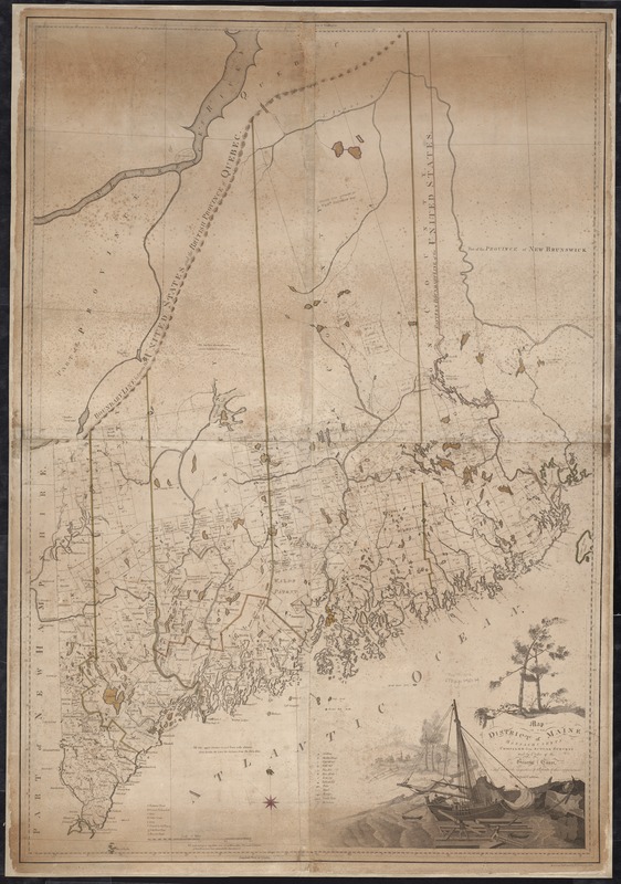
Searching for a long time, I finally found this on eBay. Created by Augustus Phillips of Northeast Harbor, Maine, who made a business of tourist oriented maps and postcards of Maine primarily. Having paddled the Allagash several times spanning 1967 to the present, this one reminds me of great times with my early pals and my son. I made the frame from re-purposed pine salvaged from my farmhouse kitchen which I remodeled a couple of years ago, with a shadow frame on the outside made from an off cut when creating new Spruce inwales for a current 1938 Old Town canoe restoration. I hung it today just in time to impress Santa!
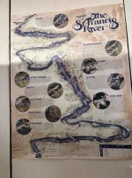
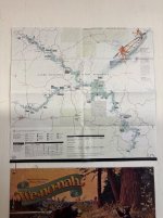
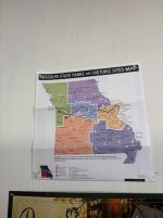
Share your maps please.

Share your maps please.