• Happy International Mermaid Day! 🧜🏼‍♀️

Photo of the day


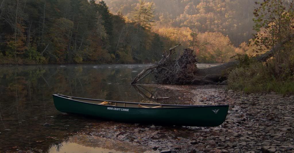
Morning on the Greenbrier River, WV.

I've been truck camping. The picture looks out from the beach where I spent the night.

On the brightly lighted bottom across the river, in the mouth of the gorge entering the river corridor in the background, coal miners and their families once came up from coal country to camp when the mines let out for a summer break.

They were long ago preceded by squads of Iroquois from upstate NY marching down the gorge on their way to the southern Appalachians to war with the Catawba and the Cherokee. This is where the Appalachian branch of the Great War Road forded the Greenbrier River.

The main stem of that highway ran down the Valley of Virginia, to the east. But by the middle of the 1700s that region had filled up with settlers, and traffic was diverted to this western route. Locally it's called the "Seneca Trail".

Nearby is an exposed salt bed, and you can find flint among the river stones, so the area of this ford has had a long history as a stop over.
 
Carry around the 3rd set of rapids, Newcomb River (a very, very, lightly traveled section)

DSC_8569.JPG
 
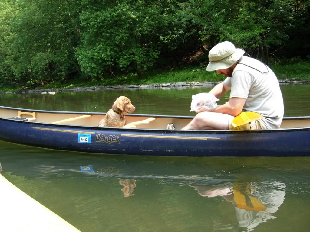
My pup at about 4 months learning how to live in a canoe. At 6 months she got to go to the BWCA. I still am surprised how big she got.

Memaquay, I agree with the wolves picking off dogs. There are plenty of people in Ely who have had to shoot wolves who jump fences to get at their dogs. I didn't leave her out for the night, she always stays in the tent with me. In wolf country though she is leashed to a tree near me in camp. She is good at disappearing into the night when I'm paying attention to the fire or stars or whatever.


Barry
 
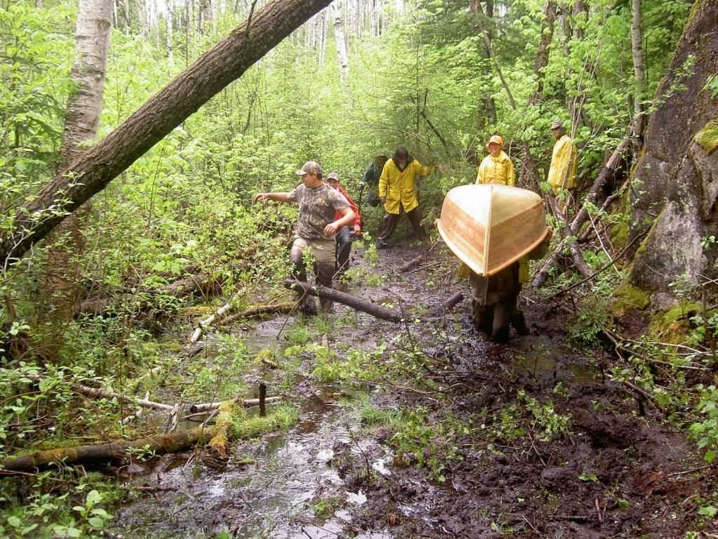
Beautiful variety of pictures! We should make a calendar out of some of these! The shot below was on the dreaded port between Stone lake and Ara lake, north of Nakina. Port is about a mile long, last 500 meters is pretty much loon poop. Guy under the canoe is me, probably one of the reasons my back has been out for a month, all that accumulated abuse.
 
Good ol' New Balance sneakers, tied on real tight. We've had kids lose shoes in this stretch, never to be retrieved again, despite, shoulder deep searching through the muck. No place for Crocs!
 
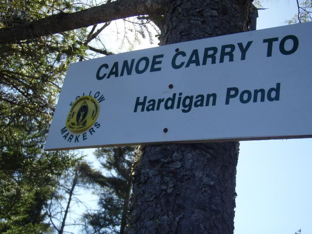
Memaquay, I look forward to conquering tough ports except for the ones that require wading in waist deep mud. I'm curious why that section of the port isn't relocated. I recognize that sometimes it's not worth the environmental impact. Of the several truly muddy ports (the ones that are historically/reliably muddy), that are on regular trips I do, I think only one has been relocated. I'll find a picture, or YC/Robin or surely others have one handy. It is the carry in the ADK Whitney loop. Rock Pond to Hardigan Pond. The beginning is pretty muddy (doesn't beat yours). After years of hearing about it and having carried it, the muddy section was abandoned and relocated to another section this summer. In your photo, I like the person in the back and center with his feet spread, looking down and thinking "I'm going to take my time and work through this...no way am getting waist deep in mud...."

Sweeper, those are great pics. My dad started taking me on canoe races when I was two. He would run across the ports with me in one arm and the canoe perched overhead with the other. My grandmother used to have pics of those races...I was sleeping in the bow. In the early 70's when I was about 5 years old, he got me and my younger brother a solo to paddle as a kid size tandem. Been paddling pretty much all my life. I have some slides of those days and will see if I can get them converted to digital. Maybe some of you canoe experts will recognize what kind of boat that little, red, fiberglass boat was. We owned some Sawyers, but not sure if that was one.

Barry
 
Last edited:
Memaquay

There are a few sections on the portages from Siderock to Obukowin Lake with muck like that. I'm glad we did the "Mothers" in a dry year.
 
Barry, unfortunately that port is in the only location it could be. In a dry year, later in the season it's tolerable. Also, a dozen or more kids tramping over it for three trips tends to lighten the soup up a little.
 
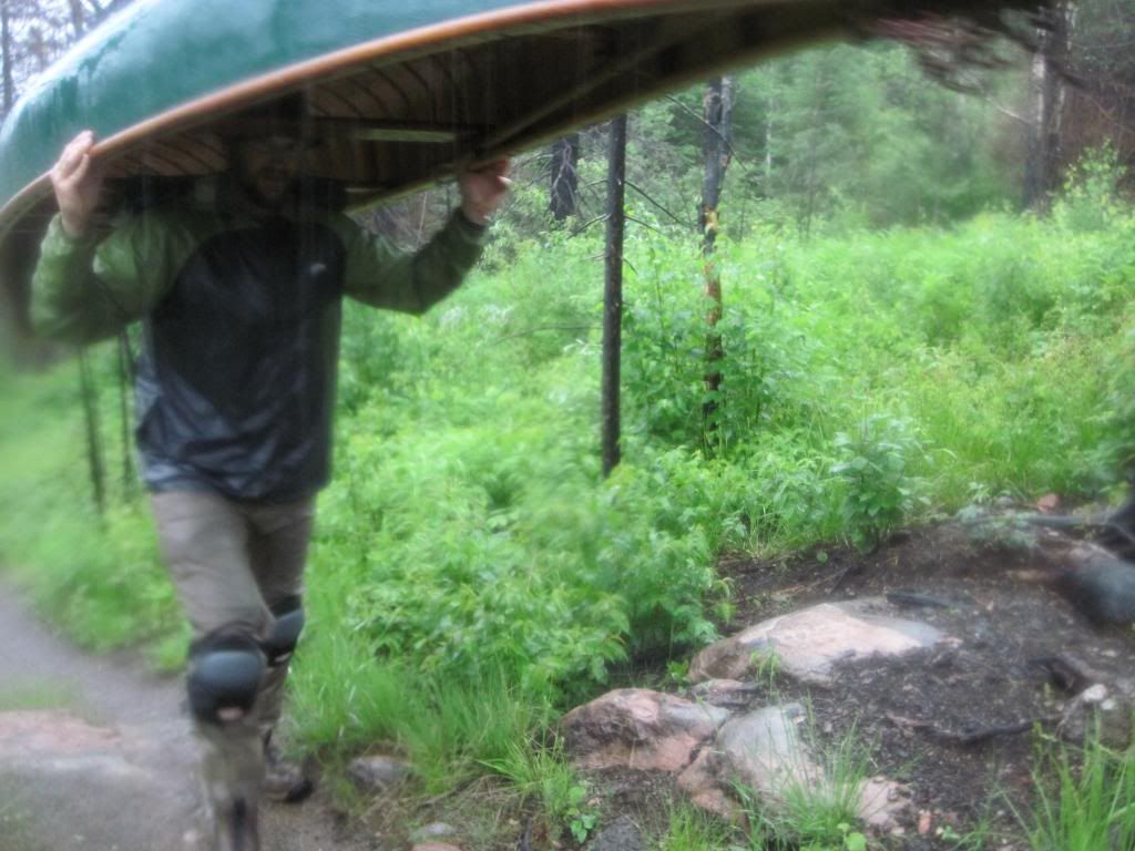
Bob B and I are enjoying a beautiful day in the BWCA last June. This is one of six days in a row that we saw such fine weather. This is a photo that every canoe tripper can relate to!

 
Ah yes, the joys of canoeing, those dirty wet ports are often worth it when you arrive at camp, the sun breaks out, you catch a couple of fish and dine on nature's splendour. And then the bugs come out and drive you to back to the tent for a night of sleeping like a log.
 
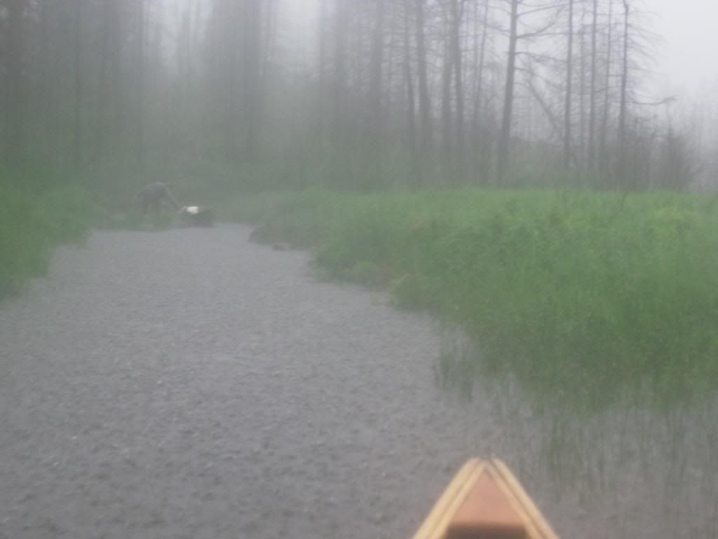
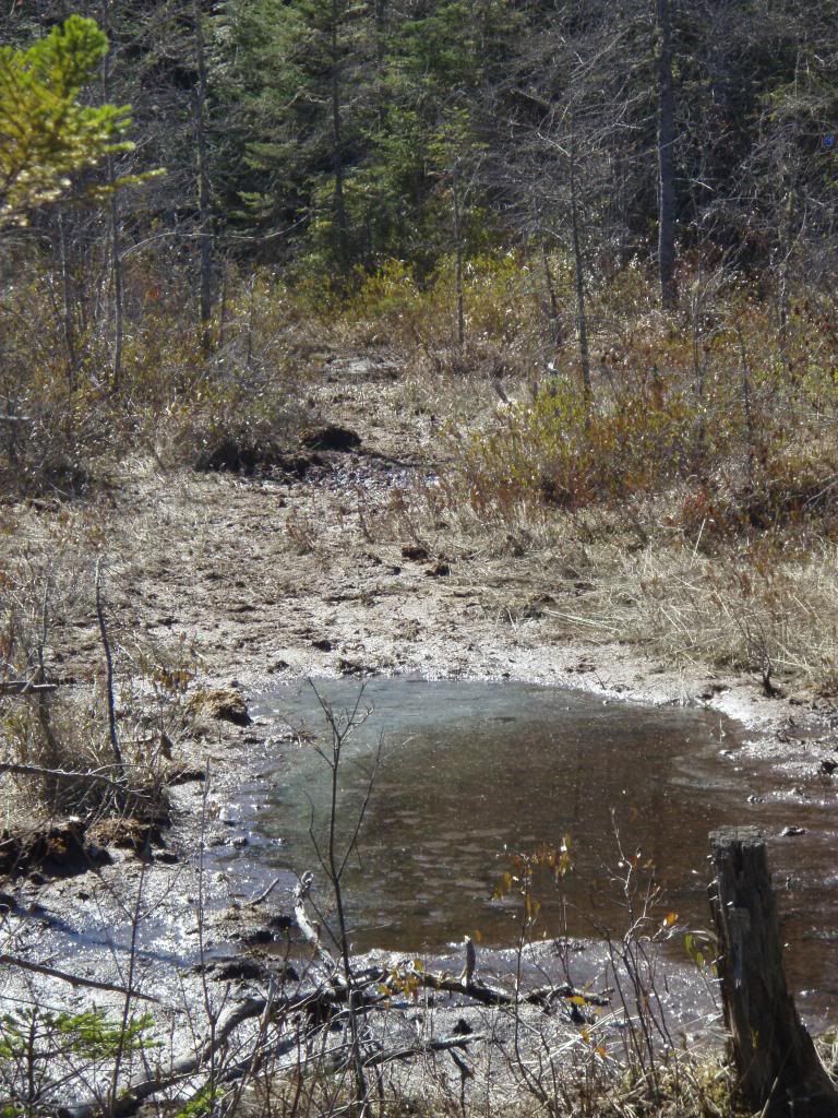
I made a correction to an early post about muddy portages. Here is a picture heading from Rock Pond to Hardigan Pond. I don't think its as epic as Memaquay's port but it's pretty deceiving. My dog got swallowed up over her back within 5-10' of the canoe. As I mentioned earlier, I was advised this fall that whole muddy section has been abandoned for drier ground and is probably longer than it already was. The muck here is sort of famous, like a rite of passage...I wonder if people will still try to use the muddy section.

 
Hey Waterdog,

I hear of that infamous section all the time. Exactly where is that? My son and I passed through there in 2002 or 2003, there was some minor beaver flooding about halfway between. And the start of the carry at Rock was kind of sloppy, but nothing as bad as everyone reports. I can only assume something has changed...

It is the very start of the Rock Pond to Hardigan Pond Carry. It is as located in the paddlers guide and map. I'm sure it has different levels of soupiness. My picture is in May 13, the same weekend you did Lila-Lows trip. I'm guessing the levels were medium or slightly higher maybe. Some places you would sink to your calf, and some to mid-thigh. At one point I thought I was good to go and my next step I went down to both thighs and had to throw my canoe off to the side as I came down on my chest. The weather was hot that weekend so I took a very cold swim to rinse off the mud and dried as I paddled.


Barry
 
Thanks, Barry. Josh and I did that trip in the fall of 2004 (I had to look and verify) and the carries were sparsely marked with flagging. We actually had a tough time to locate the start of that carry. When I get home, I'll look through my photos to see if I have anything to contribute, firewalls here at work make it too cumbersome to add photos now...
 
Back
Top