From my place, runoff drains to the Severn River, mostly a wide, open, tidal river with housing and power-boat docks shoulder to shoulder for most of it's 12-mile length. Unfortunately, the only public access is at the Annapolis end of the river. I sea kayak there in the summer. The reflected waves, mostly from the many large power boats, bouncing off the seawalls of the Naval Academy produce a fun merry-go-round, clopotis for the sea kayak. Not so much fun for the canoe.
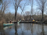
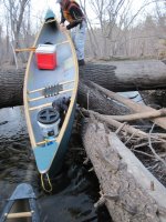
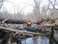
I love to canoe my local Patuxent River. Like McCrae's middle Gunpowder, it's full of timber and strainers. There are now entire stands of dead forest, decimated by the emerald ash borer about 5 years ago. I never knew the extent of the ash population in that watershed until they all started dying. Paddling the 7-mile stretch between Governors Bridge and Queen Anne Canoe Launch last fall, we ran into 14 strainers requiring getting out of the boat. We don't count them if you can bump over or limbo under. My buddy and I have been out about every week since. We hack and deconstruct, and had it down to 6 pull-overs last week. It's all temporary. The dead ash keep snapping off, and every time there's a big rain, they all start moving. So, it's going to be a tough stretch for years to come.
Dead forest (mostly) along the Patuxent

All but one strainer can be negotiated by running the bow up on a log, getting out of the boat, and pulling it across the strainer.

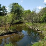
A frozen side channel of the Patuxent, January '22. When the water is up, a fascinating array of side channels and beaver ponds can be paddled. Low water in the photo.

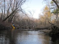
Doesn't seem to matter what time we get on the water. We usually find a way to paddle until last light.

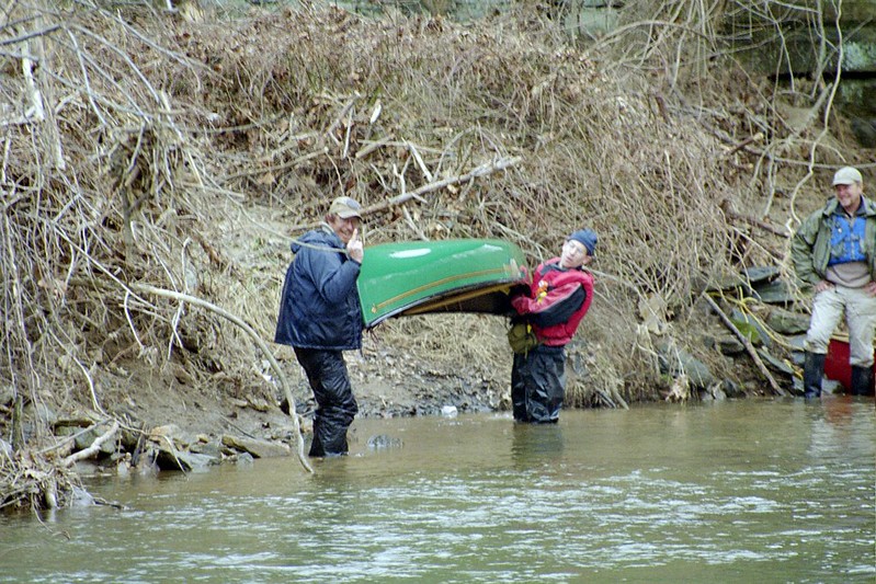
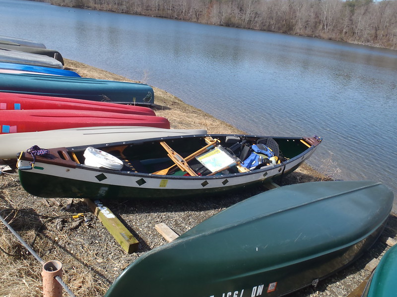
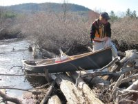
2003 to 2019, 18 consecutive years, I co-organized a spring cleanup on the section of the Patuxent downriver from Queen Anne. In the photo below, my co-organizer hauls trash in my Brownline Mayfly.

Queen Anne was a happening place prior to about 1750. It was the head of navigation for ocean-going ships, and it had the southernmost bridge over the river. It was on the route from Washington to Annapolis, and was the only road connection between southern Maryland and the rest of the world. The bridge is still there, but hasn't carried traffic since the 1960s. The port of Queen Anne was silted in by about 1750 and it is now just a cluster of rural houses. For all the times I've paddled under it, I really should have a photo.
In conclusion, my favorite local paddle is the Patuxent River. It's intimate. I've encountered other boaters in there about 1 in 50 times. Never used to see a soul, but since Covid it's been discovered by local fishermen, and I may see as many as 20 people in the 7-mile stretch I most frequently paddle. The current runs about 1 - 2 mph, and to me, current adds so much interest to the paddling. The timber clogs are a pain, but keep the riff-raff away and add to the challenge.


-2.jpg")