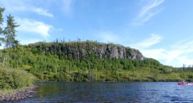
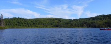
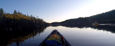
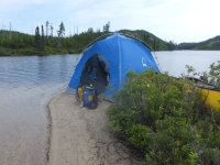
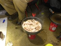
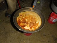
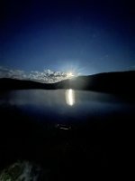
Friday July 31 (Day 19) :
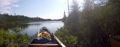
We awoke to thick cloud cover, to the north dark storm clouds were forming. We left camp at 11:30am, our goal was to get to the last rapid section and then as far past that as we could get to reduce the remaining distance for tomorrow, our last day.
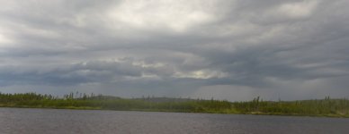
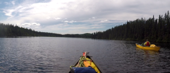
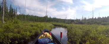
We had about 9km of flat water to the rapids, as usual we had a headwind to deal with, it wasn't really strong but strong enough to significantly impede our forward speed. Much of the time was spent with an eye on the storm clouds which were beginning to surround us. After 2.5km we paused for a 10min break, after another kilometer and a 5min break. On the next section we covered 3.3km with thunder rumbling in the distance with some visible lightening. We stopped for an extended snack break and got prepared for the rain that would almost certainly be arriving soon.
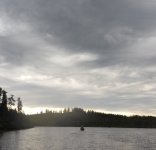
It was another 2km to the beginning of the long channel section, a new storm cell was now moving toward us from the south west, lightning and thunder probably 5 - 10km away. Light rain started and intensified as we approached the narrows, the lightning strikes were now very close but rapidly moved on past us. Once the storm cell passed the rain ended and did not return.
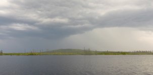
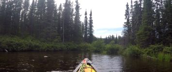
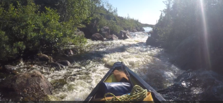
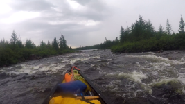
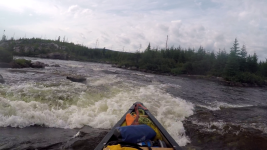
We entered the channel, the first section is about 6km in length, the width 50 - 100ft. The rapids are a series of R2's through large boulders, they are mixed with fast water with hidden rocks. We had "good" water levels for this run, at low water it could be a nightmare and in fact there is an alternative route that bypasses all of this, of course that route also included a bush crash portage of at least 1.5km with a REALLY steep finish!
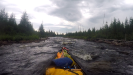
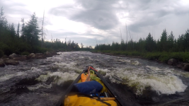
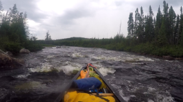
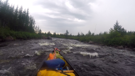
This was not a route for watching the scenery, concentration is required throughout to stay in the deeper water and avoid the boulders. The last rapid in this section were a little tricky but after 1hr 40m of fun we were spit out into a flat water expansion. The lake is about 1km leading up to the 2nd rapid section.
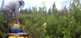
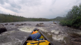
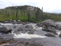
The first half of this 2km section was fairly easy, we stopped before the last half to have a look, we spent a fair amount of time here before deciding that running was risky and out best option was to line this part. The lining was not easy but we managed to work out way down past the boulder field and run the last little bit.
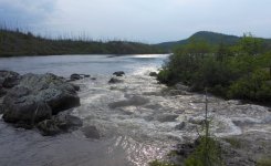
Now back on calm water we had about 3km of paddling to arrive at the final rapid of the trip. It is here that the river now ends and empties into the reservoir that has been created by the Rupert River Diversion Project* completed in 2012. My topo maps predate the project by decades, intel from previous trips suggested there could be a big drop there.
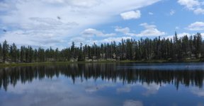
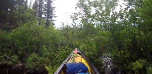
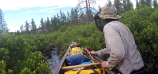
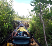
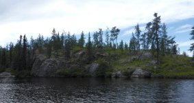
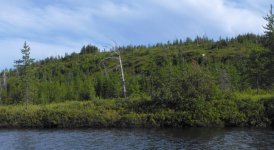
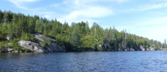
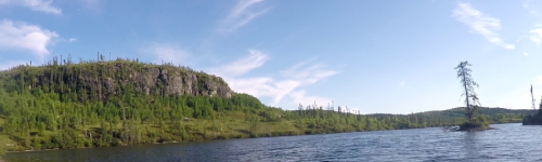
When we arrived it was underwhelming! Barely an R1, a couple of minutes and we were floating on the shallow water of the diversion. Darkness was approaching rapidly as I had anticipated this area was going to be poor for camps. To the left the land was flat and almost certainly very swampy. On our right the water is in the trees, the trees are on steep ground. Out from shore there are areas where trees were cut prior to the flooding and others where the cut line was obviously off course leaving dead trunks standing in the water.
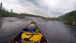
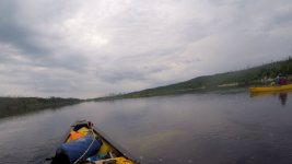
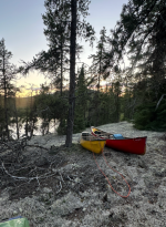
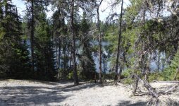
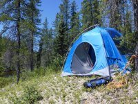
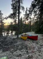
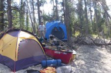
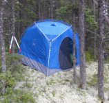
Desperation was setting in, after stopping twice and not finding anything that would support more than a bivy sack. After 1.5km we came to a patch of sloping moss, there was just enough space for the Pod, the ground was very lumpy but there really wasn't a choice given the sun was setting as we unloaded our gear. We ate something, I don't remember what, I spent quite a bit of time moving dry bags around in an attempt to create a somewhat flat are for my pad, mainly I wanted to make sure I didn't slide down the "hill" and end up in the lake. In the end I had a pretty comfortable setup.
We are now about 40km from our takeout, it will be all flatwater. Th3e weather forecast call for modest winds, low chance of rain with clearing sky late in the day.
* This project diverts about half the flow (avg 452 m3/s) of the Rupert River north to the Eastmain watershed and beyond to the older La Grande project. This water passes through 4 generating stations eventually flowing into Hudson Bay.
Learn more about the Rupert diversion in the Eastmain–Sarcelle–Rupert Complex.

www.hydroquebec.com