Monday, July 27: Day 15
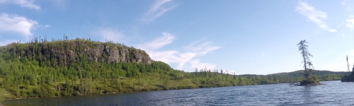
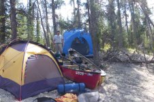
'Twas a beautiful day in the neighborhood when we woke on the Eastmain sandbar. The sun was shining, hardly a cloud in the sky, and not much wind. As we caffeinated and munched and changed and packed up, I took a moment to try to evaluate and consolidate some of the food bags. All things considered, we were doing pretty well. I ditched a yucky looking mandarin and decided the red peppers had to go, too. We didn't have much left for fresh foods - a pound or two of bacon, some butter, a dozen eggs, some onions, an apple or two and a handful of mandarins, and lots of cheese. I had brought supplies to make pizza over the fire one night - wasn't looking promising, but hope springs eternal.
It was so nice, I folded up my stinky wetsuit and shoved it under the strap of a pack to cook in the sun for the first time in two weeks.
We shoved off at ... are you ready....???
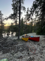
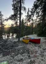
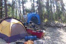
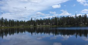
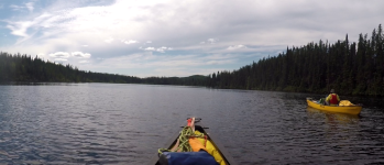
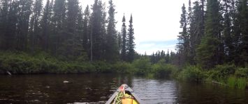
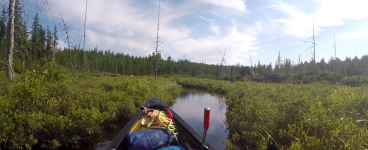
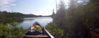
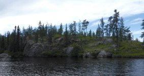
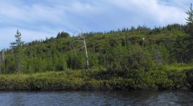
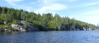
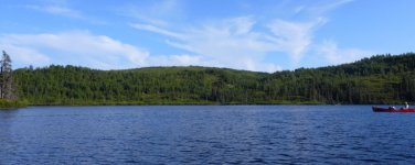
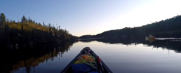
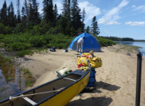
11:45 !!! ...and didn't have far to go before we had a decision to make to get to Lac Maree. Right up ahead a stream came in that we could follow ~30km up to Maree. Looking at the maps, it didn't seem to have much gradient, so we didn't think it would be too tough of an upstream paddle. Or, we could follow the Eastmain another 30kms, and then portage up a short falls into Maree. Talking last night, we had decided that if there was water in the first channel, it was probably the smarter route. And there was. In fact, as I broke off the Eastmain I was a bit surprised at the lack of current to fight in this un-named channel. And then, as we rounded the first bend and were confronted with a little riffle, I was dumbfounded to realize that the riffle was actually flowing in the direction we were paddling! This wasn't water coming out of Maree, but rather a side street of the Eastmain that actually created Maree. What a nice surprise! So our anticipated 30km of upstream travel became 30km of downstream - and if there wasn't any current for most of it, it beat paddling against the current, anyway. The first few kms were twisty and narrow and then it became wider and slack, with scenery that wasn't particularly exciting. Eventually we got to Lac Maree and found a tiny sandbar on the upstream end of an island to camp on about 8:30pm. There was just enough room for the Pod and my tent. As we prepped our MIAB suppers later, I poured a cocktail, and took note that I was wringing the last drops from the handle of Beefeater.
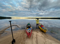
We'd come 180kms over 2 weeks on 4 handles (Burnett's cheap-o gin, Beefeaters, Bullet Rye, and Johnny Walker) Now we had ~110kms to go and I only had ONE handle of Johnny Walker left... That was worth an In-reach message to Tom and Carl - the only place I would find sympathy on that score. Ben, of course, was more than prepared to share his stash, but I've a bad track record there and wasn't going to re-live it until the demons came out. So we will pour small and sip from here. Ye gods...
32 kms today - a trip best so far.
Tuesday, July 28: Day 16
Another pretty day. On the water a moment past noon and heading southwest down to Maree's top end and other source - a small creek coming from the height of land that divides the Eastmain watershed from the Rupert watershed. As we reached the end of the lake we would have another route choice to make - follow Moe Baxter's described route, which was more southerly, less direct, and longer; or follow the shortest line between two points route that Sam Brakeley had confirmed and which started out with a 4km creek drag/paddle. From what we could deduce, it seemed Moe had had very low water - we certainly did not. If there was water in the creek, we would go Sam's route.
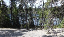
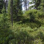
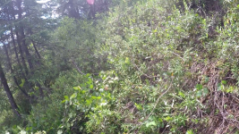
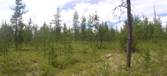
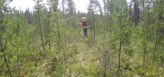
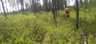
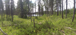
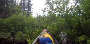
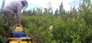
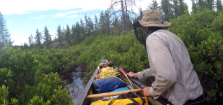
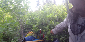
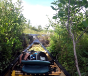
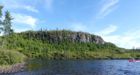
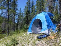
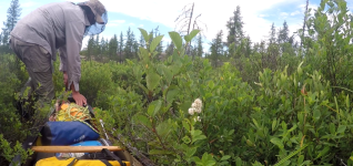
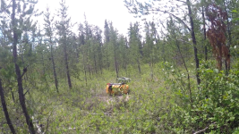
And there was! The creek had an obvious deep channel and it wasn't tough to follow it. Lots of tight turns, some drag-over blow-downs, some saw work, some wading - but we covered the 4km creek section in 2 hours. Then, really just by luck, when the creek got so shallow we had to get out and pull the boats behind us, there was an open space along the bank, and some quick recon established this was the head of the portage "trail" (here, actually, for the first time on this trip we found signs of humans - we could see distinct footprints sunk in the moss from some trip some years prior.) More work with saw and loppers and we had ourselves a staging ground, and then it was straight up a steep hill about 75 yards to a fairly open summit covered in caribou moss. By 8:30 we had all the gear and boats to the top of the hill and set up the Pod. Probably the nicest campsite of the trip!! We even saw some stars! Had we a bit more energy, would've made a decent croquet ground. But it was snacks and sips and smokes and MIAB and sips and smokes and bed. 20kms today - not bad given the creek and the port. More guelling tasks tomorrow.