"A full-time artist since 1990, Bérard’s other artistic endeavors include being an award-winning ice sculptor. He has also been the political cartoonist for 30 years at La Liberté, a weekly Francophone newspaper in Manitoba."
 paddlingmag.com
Réal Bérard's Maps Will Make You Want To Go On An Adventure
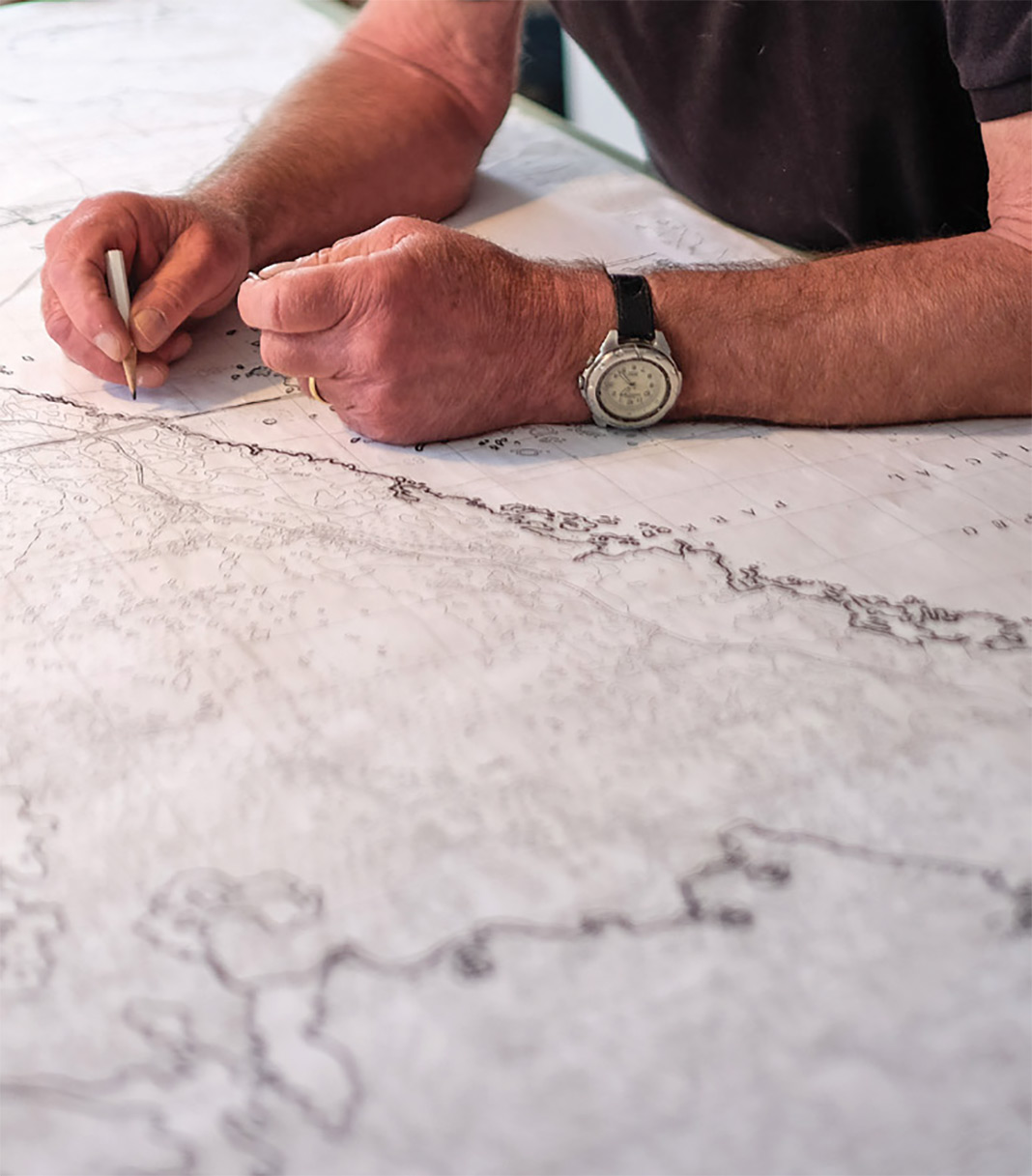
Read about this artist from Manitoba who's been hand-drawing maps since 1962.
paddlingmag.com