• Happy Weed Appreciation Day! 🌱🌿🌻

PA Grand Canyon (pine creek gorge).

Joined
Jul 31, 2011
Messages
91
Reaction score
1
Location
Eastern PA
Anyone ever paddle the gorge?

Been wanting to paddle it for a few years now. Finally made plans for a solo 3-day trip for the first weekend in May.
My wife decided to go with me so I'm looking for any info from anyone who has paddled pine creek. Couldn't find much info about rapids on pine creek. The few things I did find about it said different things. Read there are class 1's, something else says class 2's, and somewhere else I read there are class 3's. I know the flow fluctuates and it's really only floatable in spring or after heavy rains in the summer.
I really wasn't worried about it going solo but now that my wife is going I'd like more info so any would be appreciated.

Thanks
 
The most popular section, and the only one I have paddled, is from Ansonia to Blackwell, a 16.8 mile stretch. The most "difficult" rapid is about a couple of miles below Ansonia: Owassee rapid. I would consider Owasee a Class II at best, and a relatively straight-forward one at that, but because so many paddlers with little whitewater experience paddle Pine Creek it is not uncommon to see a bit of carnage there.

If the water level permits, you can put on at Galeton where PA Rte 144 crosses which is about 13 miles upstream of Ansonia. Below Blackwell you can potentially paddle all the way to the mouth of Pine Creek on the West Branch of the Susquehanna, a distance of over 40 miles. There are, or used to be, state campgrounds 2 miles below Slate Run and 3 miles below Waterville.

Although I have not paddled the other sections of Pine Creek, I have not heard of any rapids rating above a Class I on them, and I rather suspect I would have if there were any. A trip from Ansonia to Waterville would be not quite 43 miles. From Galeton to Slate Run would be 36-37 miles. I think the trip would be fine at the usual spring water levels for anyone with reasonable boat control and moving water experience. You will likely have plenty of company on the stretch with the only significant rapid in the event of a mishap.
 
Thanks for the info.

That link confirms what I heard somewhere, you can run river left or even carry around on river left if need be.

I will scout it but a straight forward class 2 should not be an issue. I don't have a lot of whitewater experience but I would hope enough for an easy class 2..... My wife has been paddling with me for 5 or so years. Mostly flat water or in the small (slow moving) stream in front of our cabin.
So I guess the only concern now would be swamping in 50 degree air temps with low water temps.

I got a free Pine Creek Water Trail map & guide that is available from the PA Fish & Boat Commission.
It says it's 58.6 miles from Ansonia to the Susquehanna. When this was still a solo trip I was putting in at Ansonia and taking out at Torbert access (53.4) but now we're putting in at Ansonia and taking out at Ross Run access (33 miles). We are primitive camping in the state forest, just got the permits in the mail today.
 
You might consider swamping now.. this weekend in front of your cabin. On purpose so you see how you react. A first swamping in class 2 can be a shock and literally panic inducing.
 
That's a good idea but unfortunately we can't make it to the cabin this weekend. We have 5 kids and there always seems to be something going here lately. This weekend we have 1 birthday party (sleepover), pine wood derby nationals, another daughter working (she doesn't have her license yet) and people coming over with their puppies they got from us a couple months ago for a visit.

I have cold water experience from being on a SAR team, the military and wearing my wetsuit in the pool every spring to open and clean it for the summer season. I'll have my wife wear my wetsuit.
 
Wishing you the best. In the spring we never let people in charge of rescues not wear at least a wetsuit. That is an automatic DQ...I think you need to think this through a little better but whatever..
 
I live about 1.5 hours from the gorge and paddle, hike and fly fish there often. Probably more of the latter since it doesn't run much. It is near 2.5' right now and for my interests I wouldn't try to do more than a day trip if it drops much lower. I personally wouldn't do it at all below 2.0' except for pure desperation or combined with other activities. There are some stellar hikes along the gorge that can take up a good part of a day and a bike trail that fairly parallels the river. If you have moving water experience, a basic brace, and can maneuver a canoe, anyone comfortable with Class I and II water should have no issues running the river up to at least 5.0' IMO. There is some great scenery, but you will see/hear cars and see cabins and homes along the way. Waterville is a good place to jump out and have a made to order sandwich and ice cream. Let us know how it goes, I may be hiking the Golden Eagle Trail up there that weekend.

Barry
 
Nice easy day trip, in the Spring. All simple class 1 or 1+. It receives it's "dangerous" rep from the drunks who drink more than they paddle without life jackets. I have seen people drift fishing from inflatable pontoon boats. If your partner has no experience give them the here's what you do if you find your self in the water.....
 
I did it years ago with a trail club over a May long weekend. I concur with others above and don't have much to add. The popular section is crowded, and the biggest hazards are the rafts, partiers, and finding a good camping spot. When I was there, you could easily finesse Owasee by skirting it river left. If it is any kind of fair weather, wetsuits shouldn't be necessary. It not big water but fun and scenic.
 
I just found about the canyon, my brother-in-law recently took charge of the dams at Tioga-Hammond and Cowanesque Lakes NE of there, so I will have a place to stay.
 
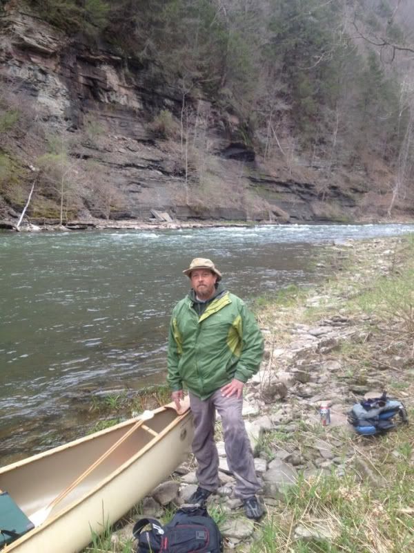
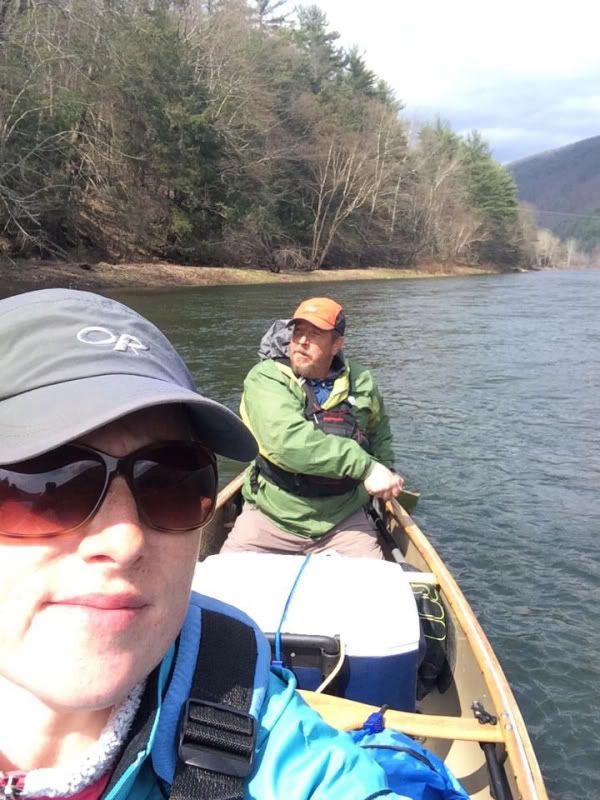
We made it! Fun trip!

2550f8e906ecb361aec2ebdb876c9e8e.jpg
 
Back
Top