- Joined
- Jul 6, 2021
- Messages
- 643
- Reaction score
- 1,184
Day trip follow up report and posting experiment, in several parts. I tried to post and got a message “Post less than 10,000 characters. Also don’t know if the multiple photo links exceed some limit. Here goes:
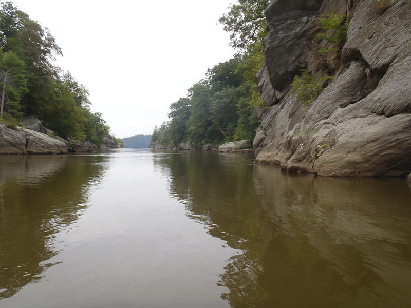
As promised I returned to the upper Conowingo Pool. Surprisingly here were only three cars (and no boat trailers) in the expansive Fish Commission put in parking lot when I arrived, two when I left. Weekends are likely much different; I’d rather not find out.
I brought along several copies of the annotated river map as give-aways to paddlers unfamiliar with the area. Soon after I put in I encountered a four-some of older ladies (eh, ok, my age) in rec kayaks and asked “Have you all paddled here before?”
“No, first time” one replied. I said, “Here, I have a map you can have”. They muckled up to study the map and were appreciative. One remarked “We’ll try to keep it dry”, so I emptied my lunch bag and gave them a Zip-lock bag. Nice ladies, I hope they enjoyed the map guided tour d’ rocks, cliffs and beaches.
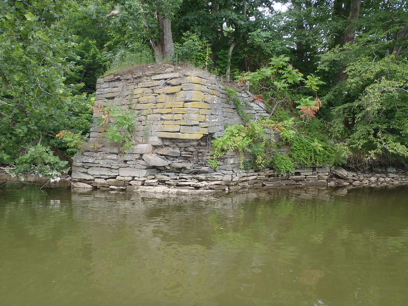
 P8030024 by Mike McCrea, on Flickr
The semi-snooty pseudo sea kayaker I met was a different story. dang kayakers ;-)
“Surprising” because it was a gorgeous day, mid-70’s, mostly cloudy and low humidity. I saw a single power boater, father, son and dog, slowly putt-putt casting. Lucky kid, a weekday with Dad, dog, boat and fishing pole; life doesn’t get any better than that when you are 12.
Been there, exactly there there, same age, same slow putt-putt, in the same place on the same river. It even looked like one of our old boats and ancient motors. dang near made me tear up.
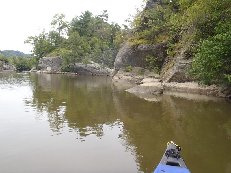
Mostly I wanted to paddle around the islands and rock faces I missed visiting last trip. Starting my tour d’ islands at the north end of Big Chestnut the hidden grotto was too shallow to paddle into; the water level dropped at least a foot while I was paddling. dang dams.
 P8020001 by Mike McCrea, on Flickr
Guess I need to go back again, just to paddle into that scenic grotto, and try to get into the shallow rock archipelago maze north of Upper Bear. I should add a further annotation to my map, “Here be monsters”; there are startlingly large carp in those shallow pools.
Maybe next time I’ll bring rod and reel. I had them all ready to go; new line spooled, new lures and hooks. I even had my fishing license(s) in my PFD pocket, a valid 2021 license, and the last fishing license I bought, found in the tackle box, a 1991 out-of-State Maine. Which I plan to hand to the first DNR guy who asks to see my fishing license.
Athough, if he simply says “Can I see your license?” that same PFD pocket contains an expired Driver’s license (hint, hint good use for expired licenses). Then maybe “Oh, a fishing license” producing the vintage Maine license, then, if I’m not in cuffs yet, a valid 2021 fishing license. I will live dangerously.
But, much like “golf is a good walk spoiled”. . . . . I just want to paddle around, not mess with effing fish.
As promised I returned to the upper Conowingo Pool. Surprisingly here were only three cars (and no boat trailers) in the expansive Fish Commission put in parking lot when I arrived, two when I left. Weekends are likely much different; I’d rather not find out.
I brought along several copies of the annotated river map as give-aways to paddlers unfamiliar with the area. Soon after I put in I encountered a four-some of older ladies (eh, ok, my age) in rec kayaks and asked “Have you all paddled here before?”
“No, first time” one replied. I said, “Here, I have a map you can have”. They muckled up to study the map and were appreciative. One remarked “We’ll try to keep it dry”, so I emptied my lunch bag and gave them a Zip-lock bag. Nice ladies, I hope they enjoyed the map guided tour d’ rocks, cliffs and beaches.
P8030024 by Mike McCrea, on FlickrThe semi-snooty pseudo sea kayaker I met was a different story. dang kayakers ;-)
“Surprising” because it was a gorgeous day, mid-70’s, mostly cloudy and low humidity. I saw a single power boater, father, son and dog, slowly putt-putt casting. Lucky kid, a weekday with Dad, dog, boat and fishing pole; life doesn’t get any better than that when you are 12.
Been there, exactly there there, same age, same slow putt-putt, in the same place on the same river. It even looked like one of our old boats and ancient motors. dang near made me tear up.
Mostly I wanted to paddle around the islands and rock faces I missed visiting last trip. Starting my tour d’ islands at the north end of Big Chestnut the hidden grotto was too shallow to paddle into; the water level dropped at least a foot while I was paddling. dang dams.
P8020001 by Mike McCrea, on FlickrGuess I need to go back again, just to paddle into that scenic grotto, and try to get into the shallow rock archipelago maze north of Upper Bear. I should add a further annotation to my map, “Here be monsters”; there are startlingly large carp in those shallow pools.
Maybe next time I’ll bring rod and reel. I had them all ready to go; new line spooled, new lures and hooks. I even had my fishing license(s) in my PFD pocket, a valid 2021 license, and the last fishing license I bought, found in the tackle box, a 1991 out-of-State Maine. Which I plan to hand to the first DNR guy who asks to see my fishing license.
Athough, if he simply says “Can I see your license?” that same PFD pocket contains an expired Driver’s license (hint, hint good use for expired licenses). Then maybe “Oh, a fishing license” producing the vintage Maine license, then, if I’m not in cuffs yet, a valid 2021 fishing license. I will live dangerously.
But, much like “golf is a good walk spoiled”. . . . . I just want to paddle around, not mess with effing fish.