• Happy Weed Appreciation Day! 🌱🌿🌻

7th trip report- ELA August long Weekend plus a Day

Joined
Mar 18, 2014
Messages
179
Reaction score
17
Location
Manitoba
ELA Trip Report Day 1


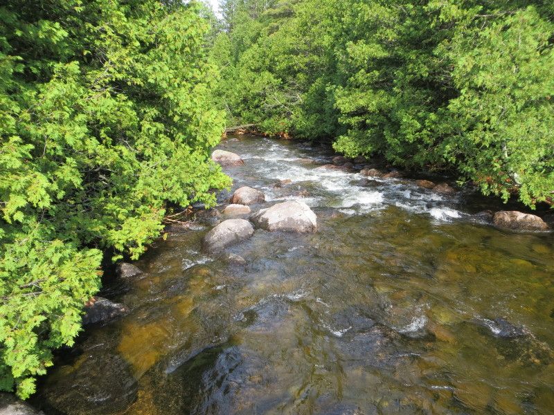
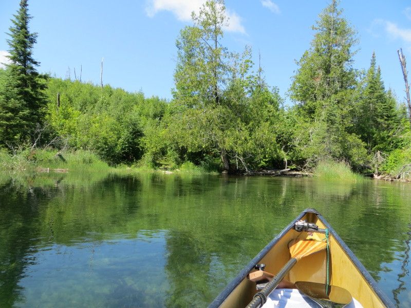
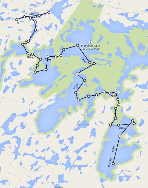
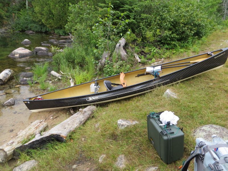
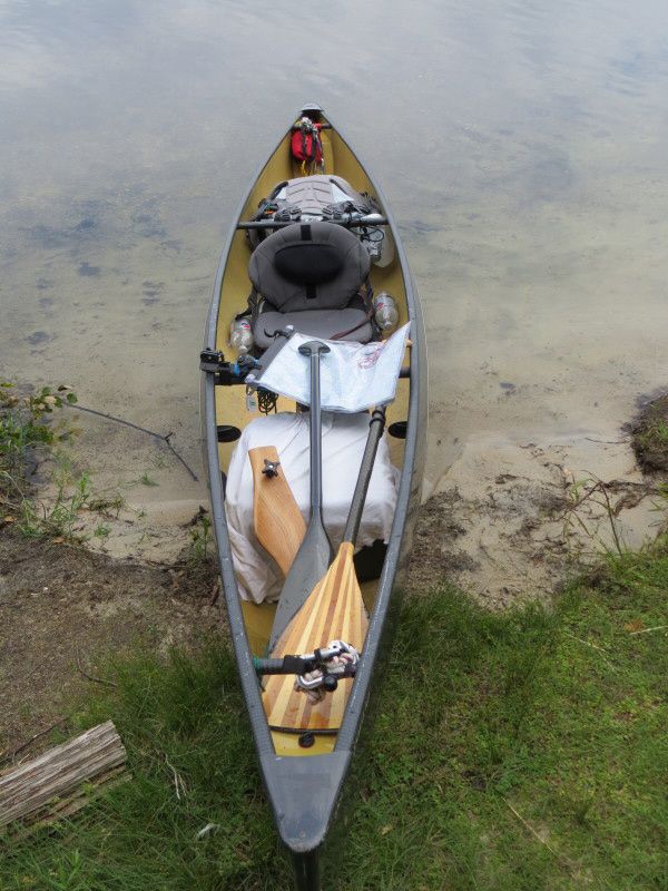
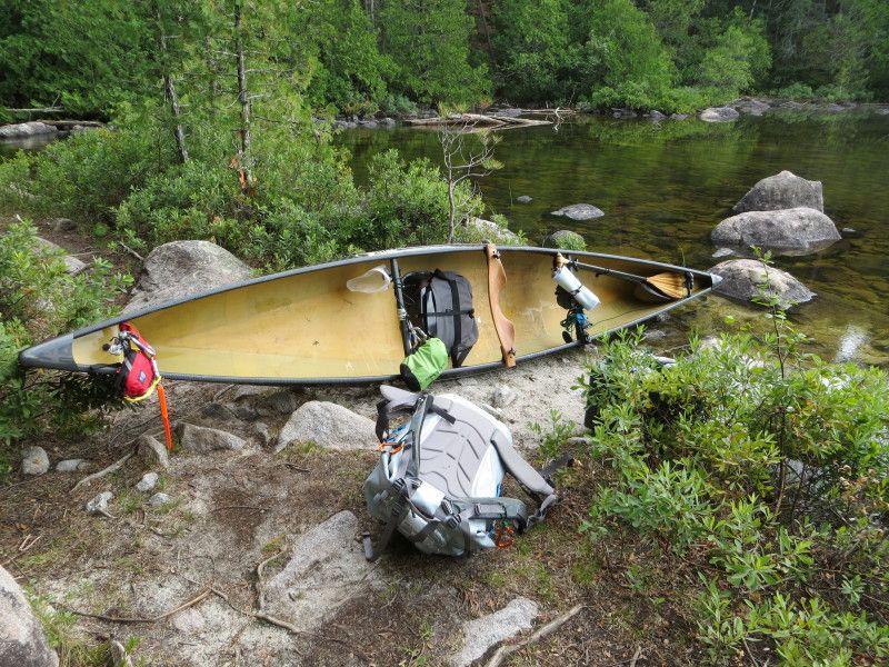
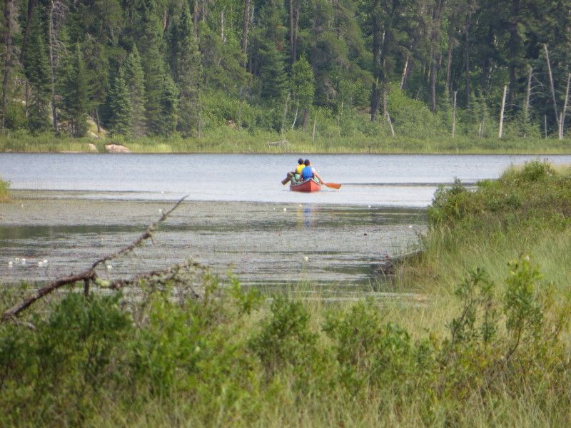
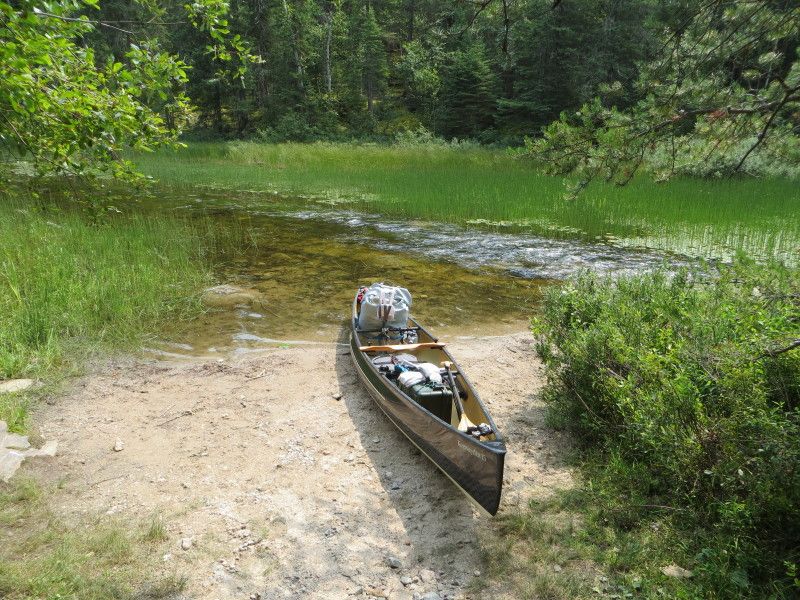
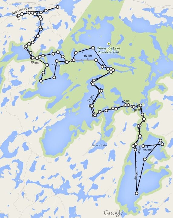
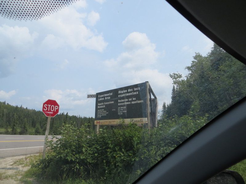
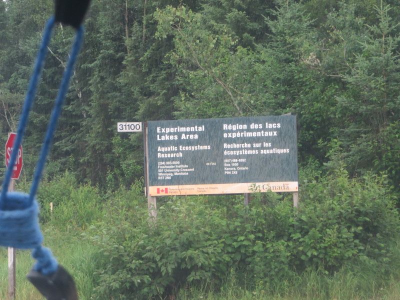
August Long Weekend plus a day, ELA time! This time from the Winnange Lake park area. Took HWY 17 east of hwy 71 by 42 km and turned down a small access gravel road to get the west most finger of Stewart Lake. 50m port from the truck to the creek and we are in business! 71km of paddling and 115lbs of gear and boat will not help on the 6520m of overland travel but such is life!

Day 1

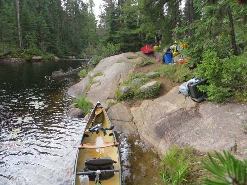
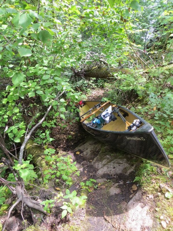
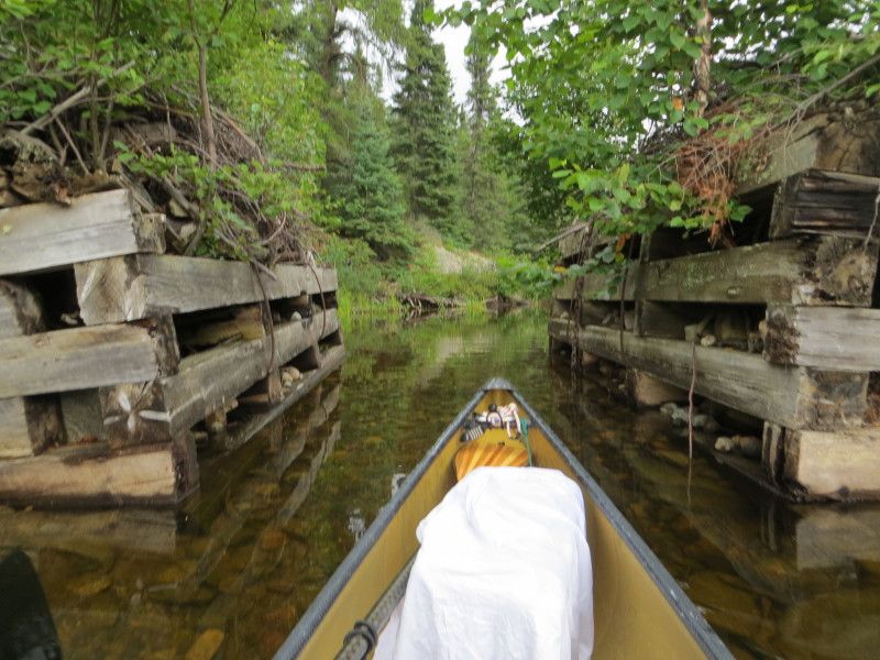
First day started with rain and a nice long highway drive from Winnipeg. After checking out the Upper Stewart lake connection and wood bridge remnants it was time to head for the Geejay Lake port. At 270m was fairly nice except for the rock garden at the other side. Ran into a family at the start of the port but I quickly got my canoe out of the way to allow for the loading of all of there gear and kids etc. Was happy I was going lighter than that! 2x on the port though, I like the single carry better! Lol

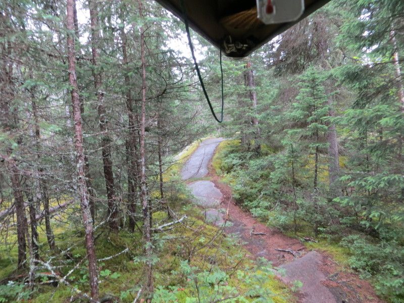
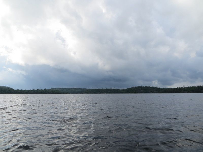
From Geejay went across the lake directly on to the Manomin Lake Port. At 323m another nice one. But then the rain hit and soaked down the rock trail. Glad I did not slip/slide down any rock slopes! Tired after running this one twice. A nice set of cabins on this lake, was surprised to see them there.

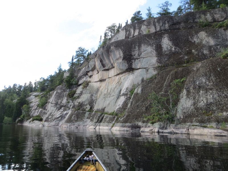
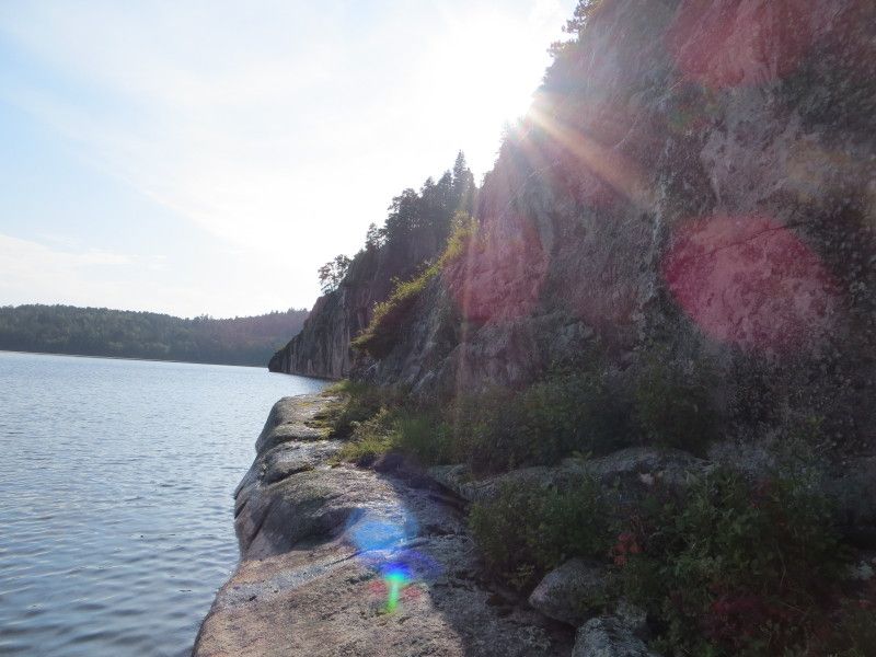
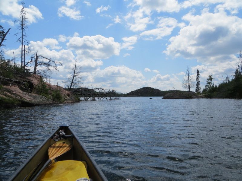
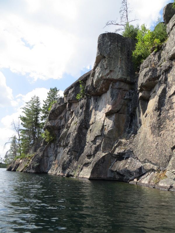
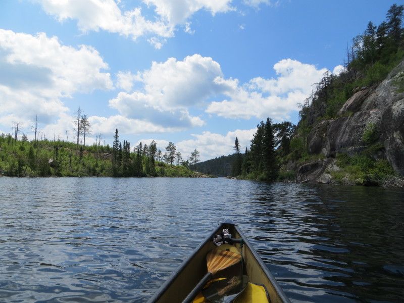
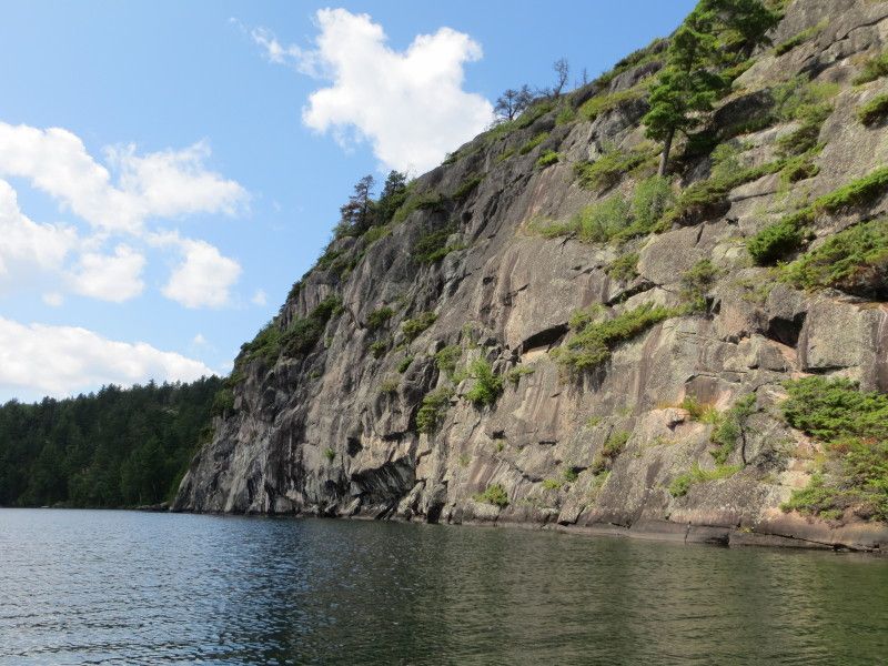
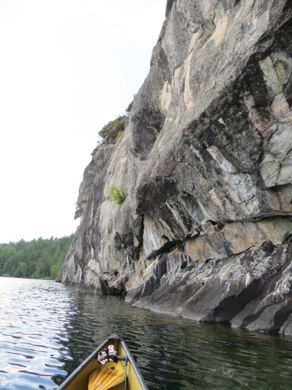
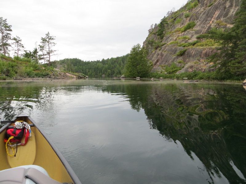
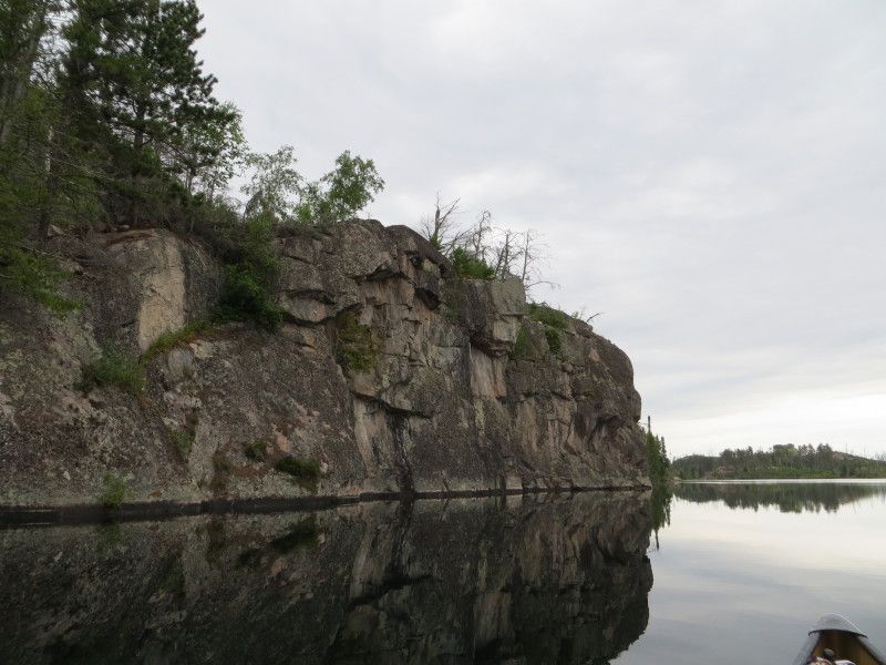
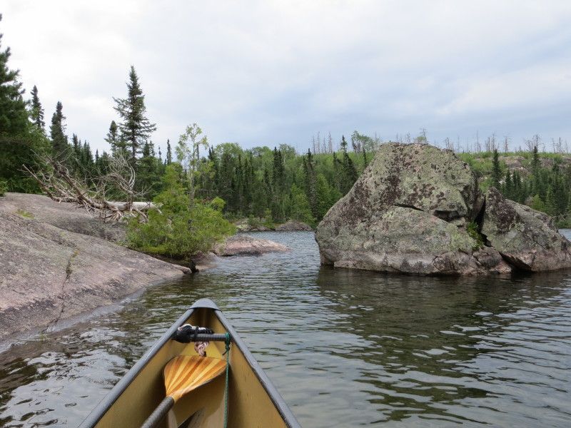
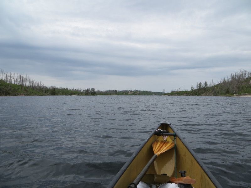
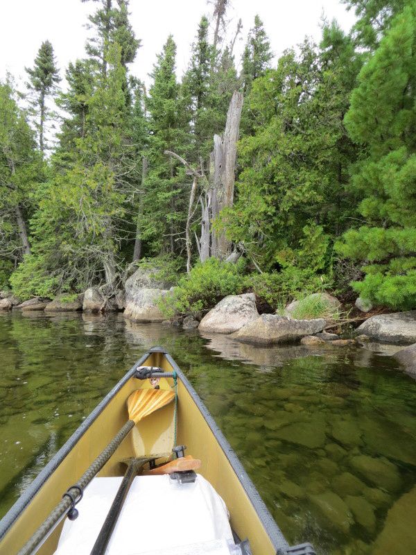
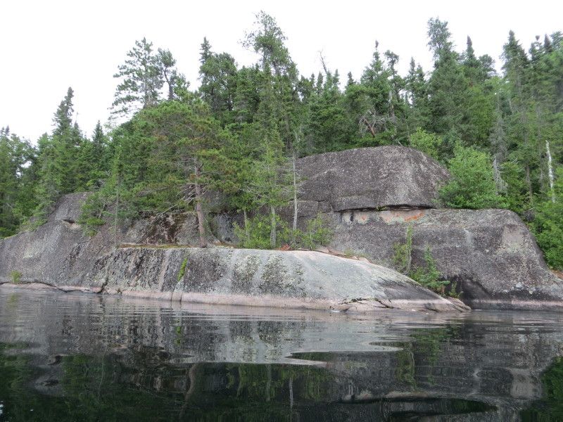
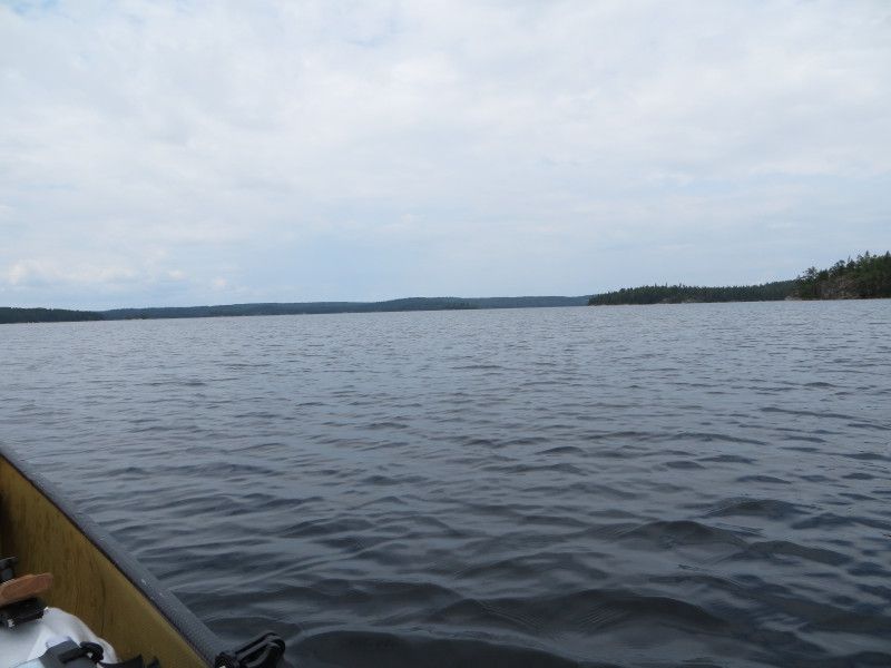
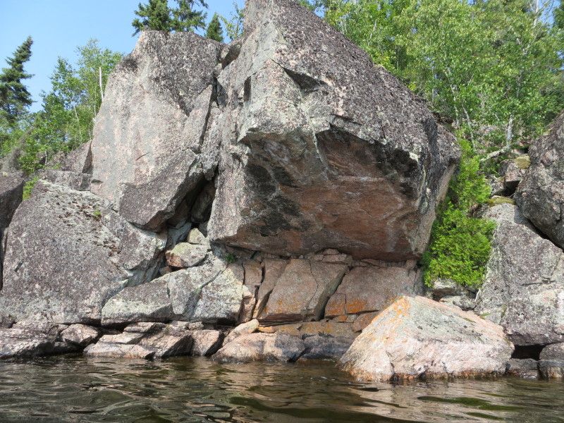
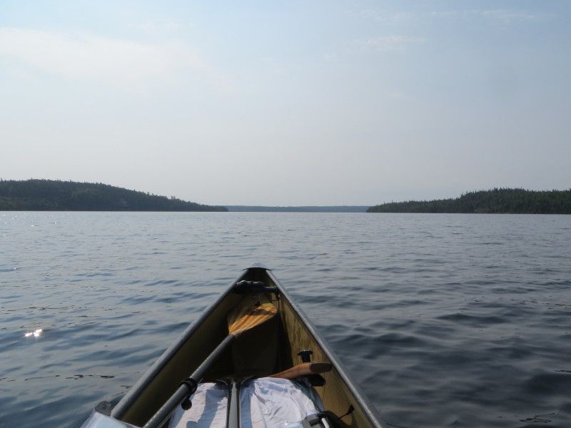
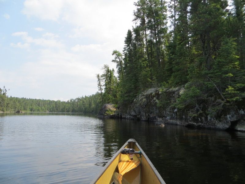
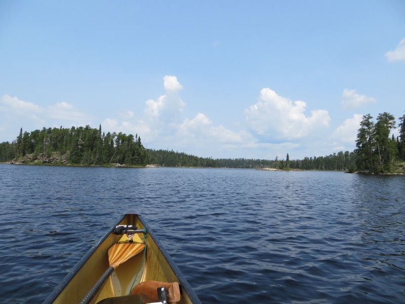
Now on Manomin Lake I did a little sight seeing around the larger islands and then took off across to the lake towards the Winnange Lake port. Some nice rock cliffs on this lake. The port was 438m and was huffing at the end of the 2nd run. Another rain storm just missed me for the most part and I got just a light dusting.

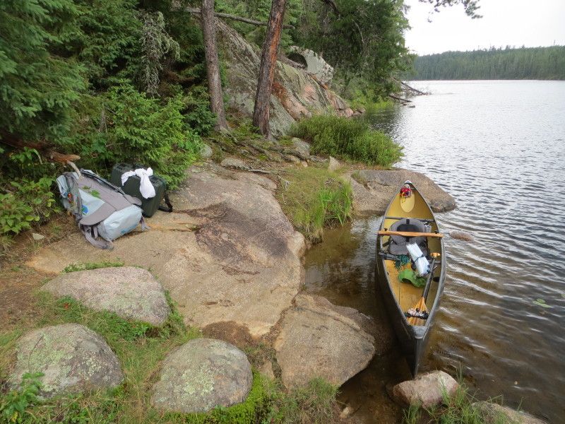
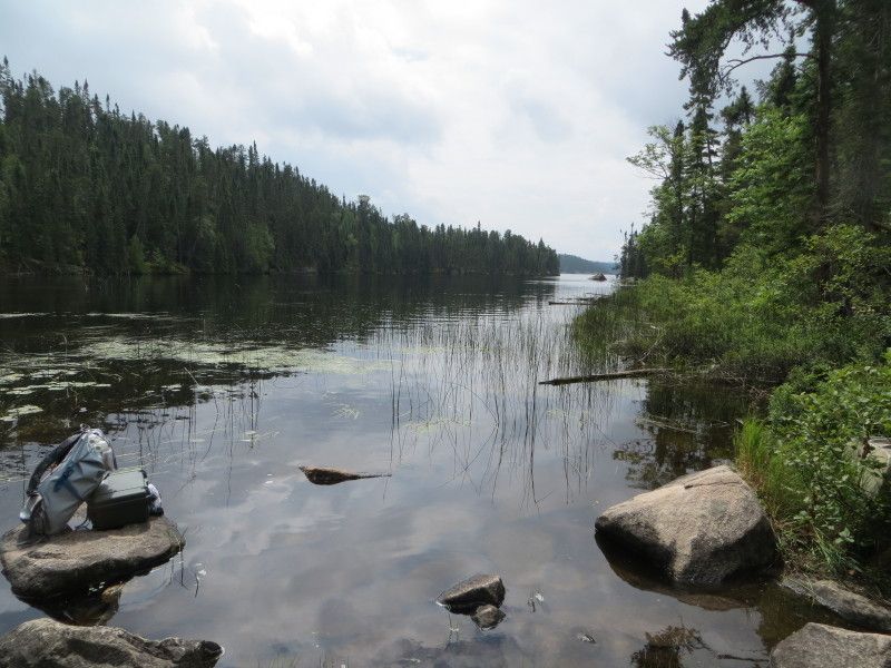
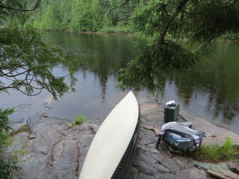
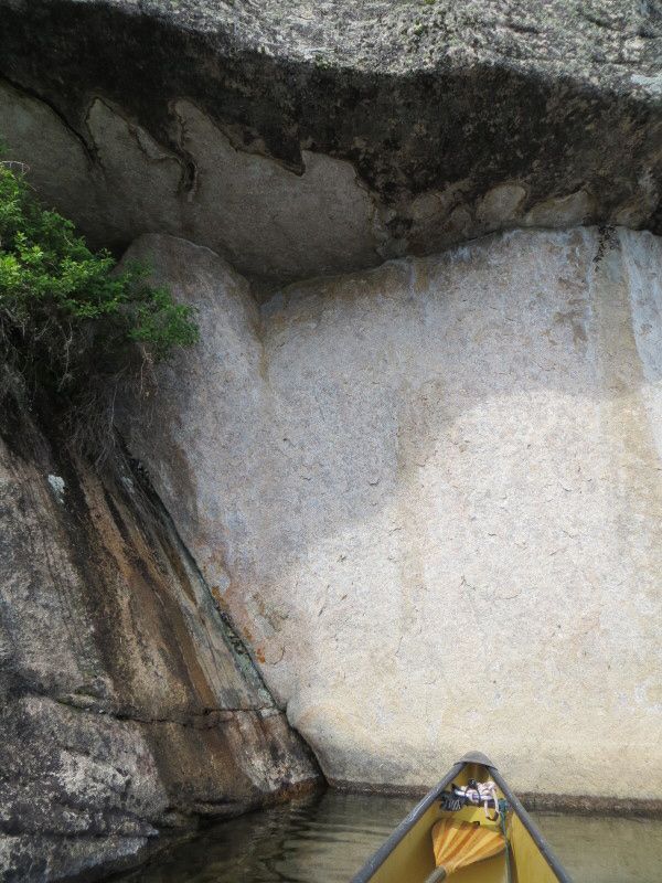
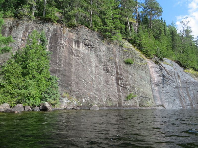
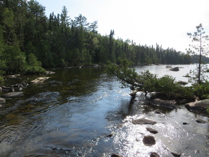
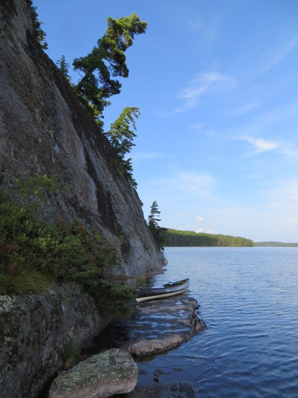
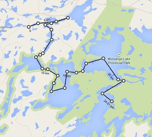
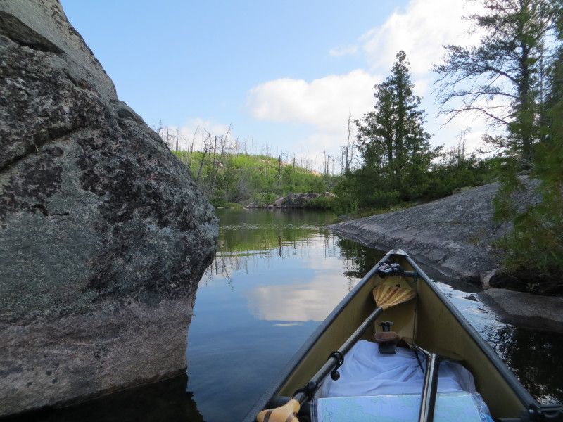
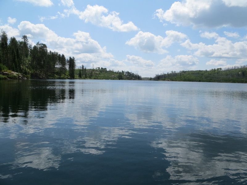
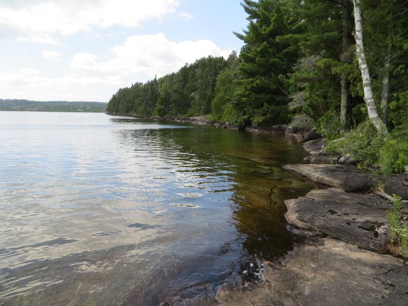
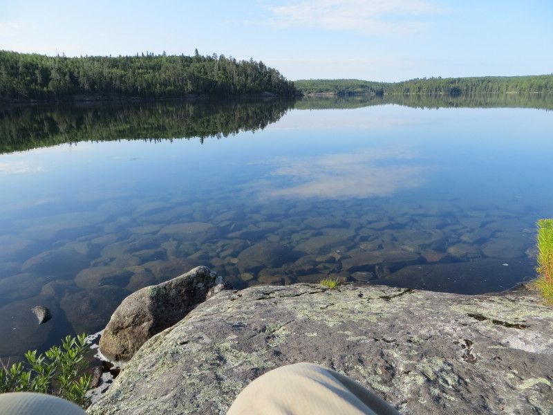
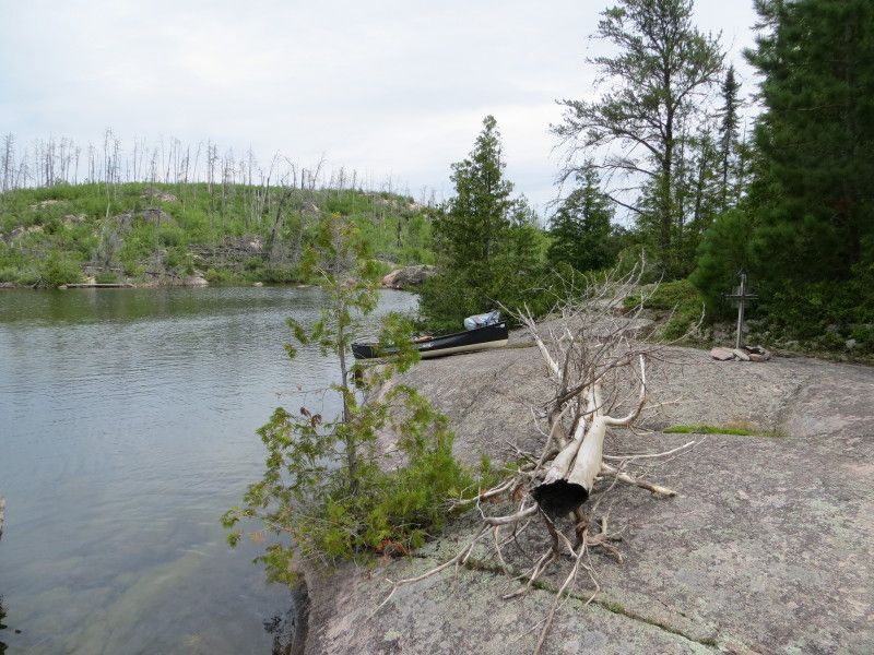
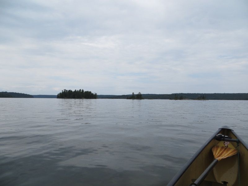
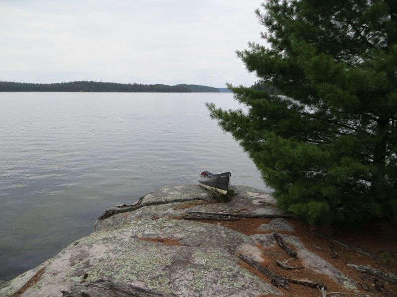
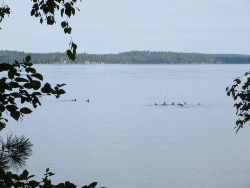
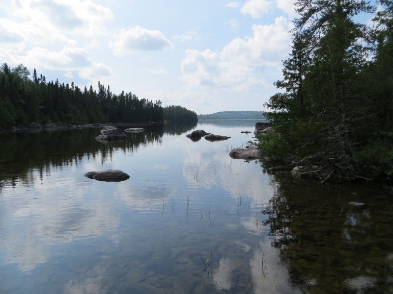
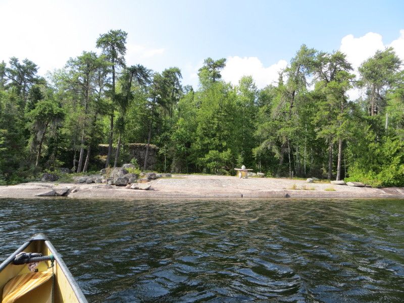
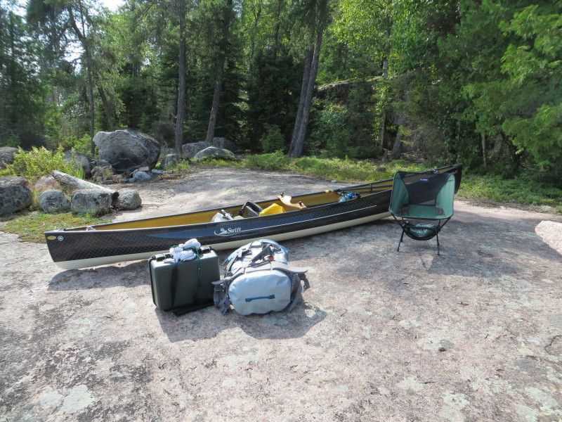
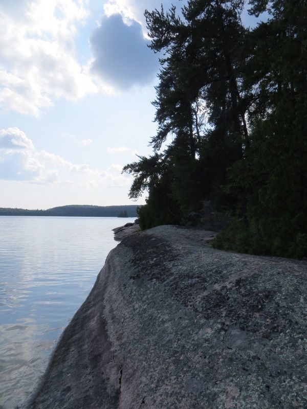
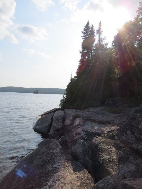
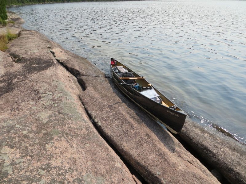
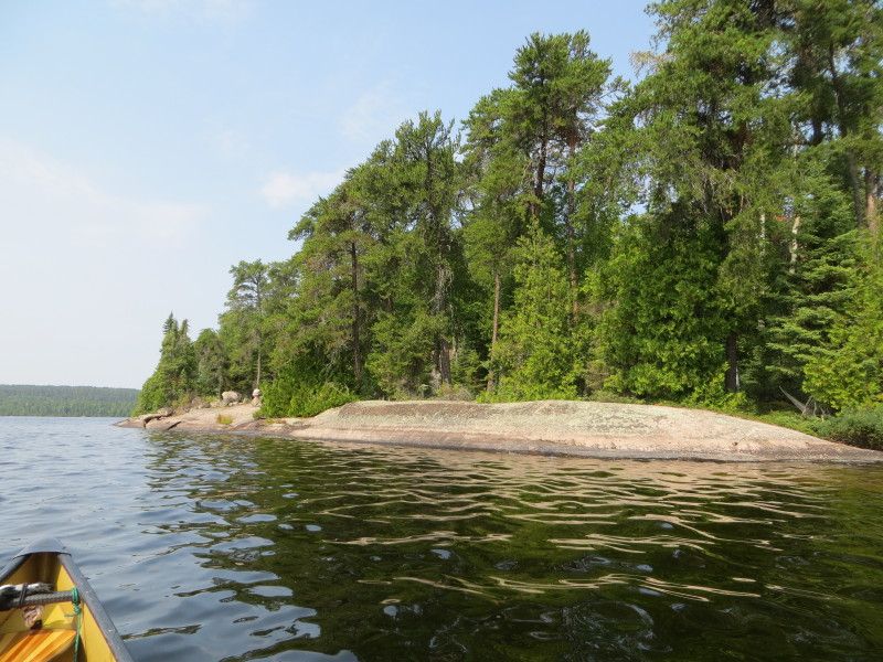
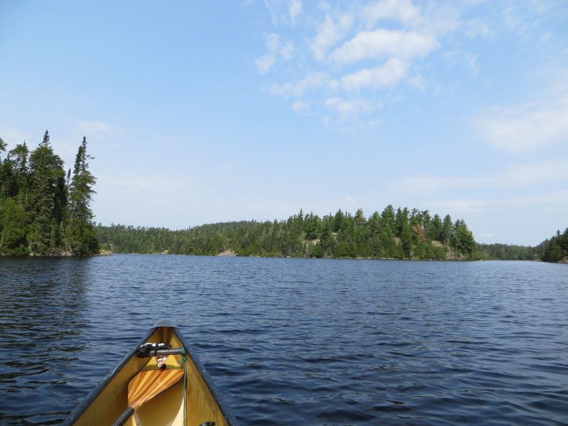
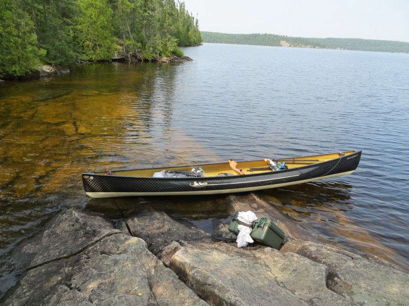
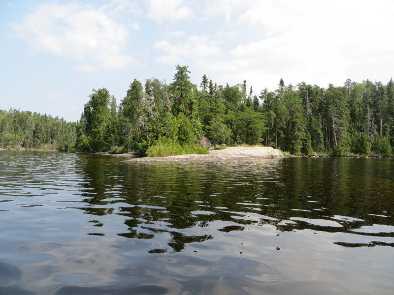
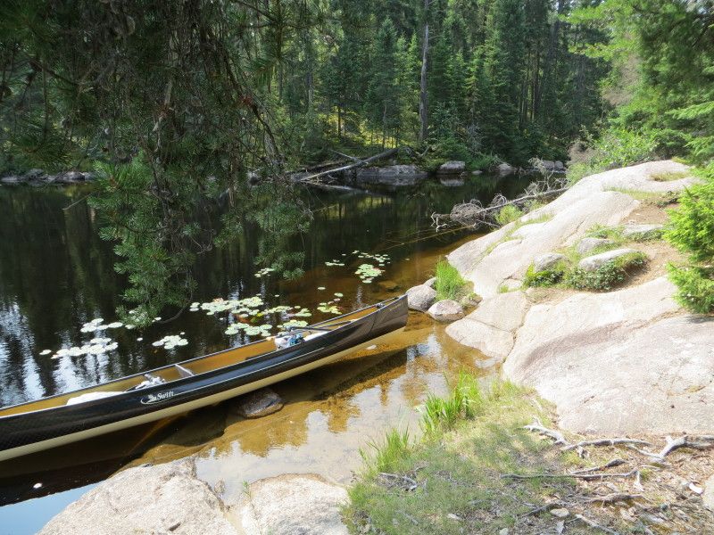
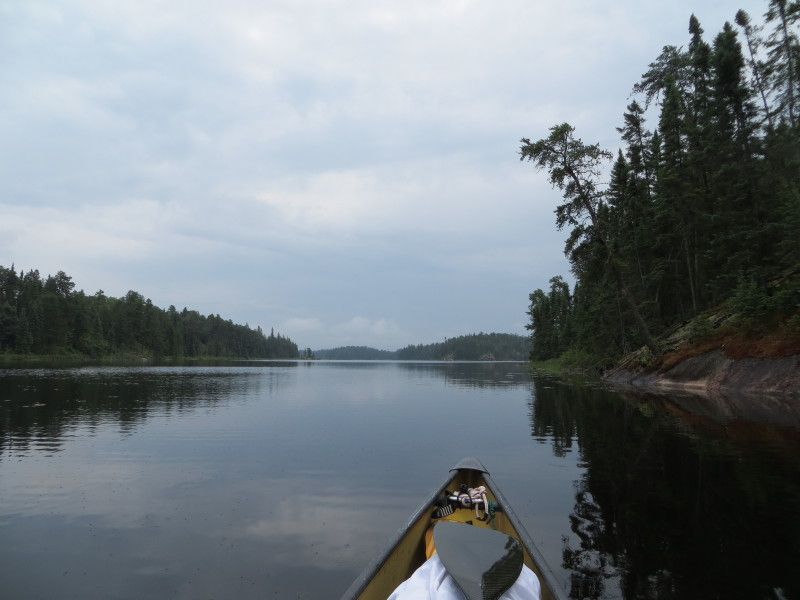
On Winnange Lake I took a detour over to the main cliff face on the north side of the port area and started looking for any markings on the rocks etc. Found a cool ledge partially submerged at the cliff face and had a walk around. Then time to jump south past Jackfish bay towards the southern parts. Found a nice little rock ledge and had me a campsite for the night. At 24km of paddling and 3243m of port carries it was time for dinner and a snooze.

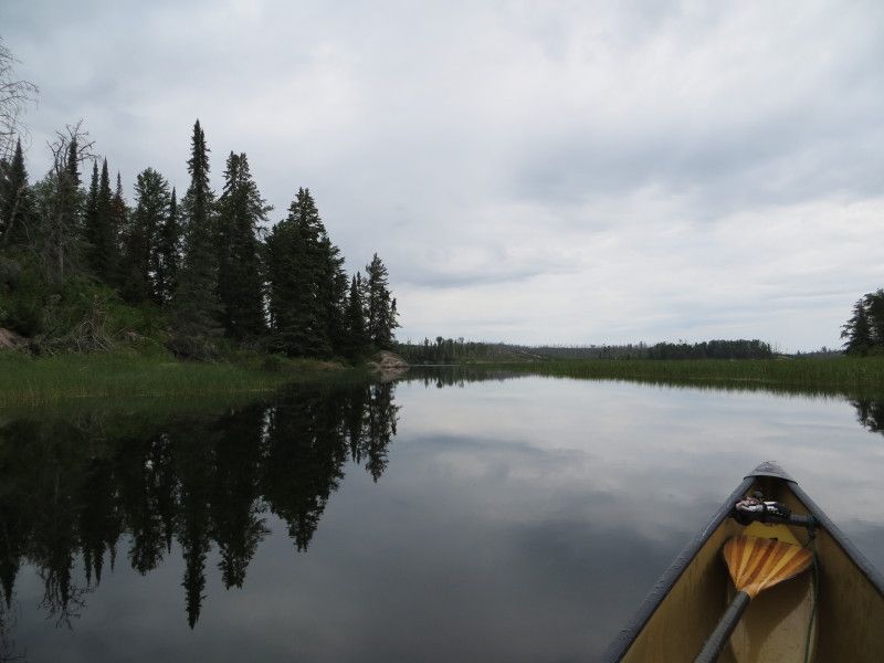
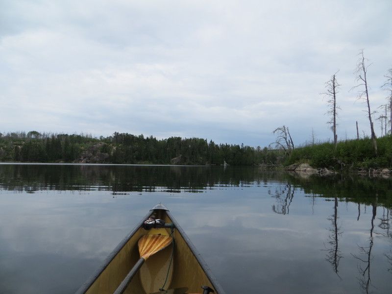
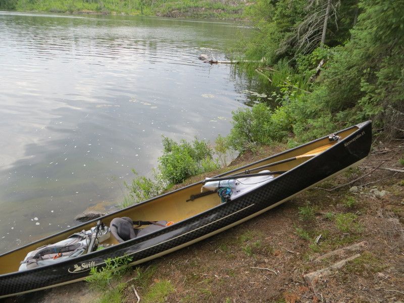
And now some pictures....
Aug2-5-14018_zps813d21cf.jpg


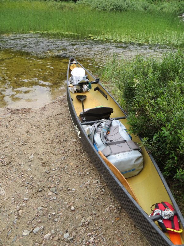
Starting point

Aug2-5-14029_r1_zps403cb1eb.jpg

Aug2-5-14032_zps17b0073b.jpg


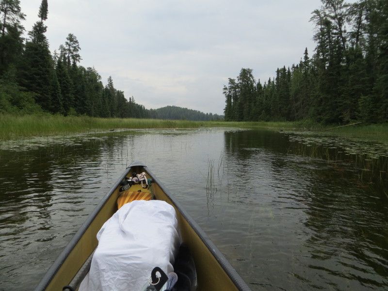
Stewart Lake heading towards Upper Stewart
Aug2-5-14039_zps0ea305d2.jpg

Aug2-5-14046_zps6dc0c298.jpg


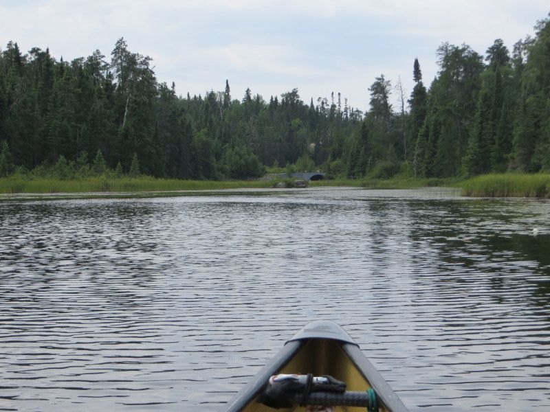
The old wood bridge remants and the Upper Stewart Lake starting point
Aug2-5-14053_zps7dceaa71.jpg

Aug2-5-14054_zpsc5989e3b.jpg


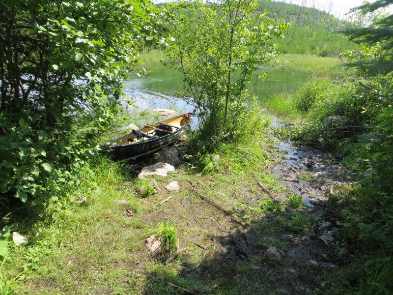
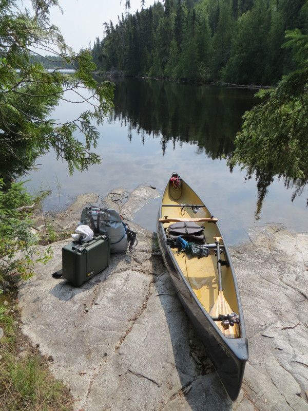
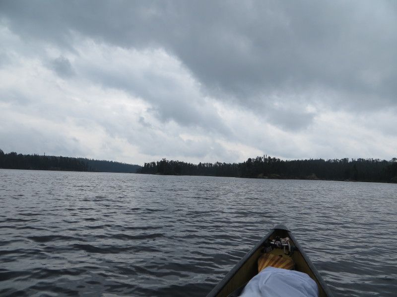
Lower Stewart Lake and the landing to the Geejay Lake Port
Aug2-5-14066_zps7f0175fc.jpg

Aug2-5-14072_zps603d7a4e.jpg

Aug2-5-14075_zps4083932f.jpg

Aug2-5-14076_zps224ec708.jpg


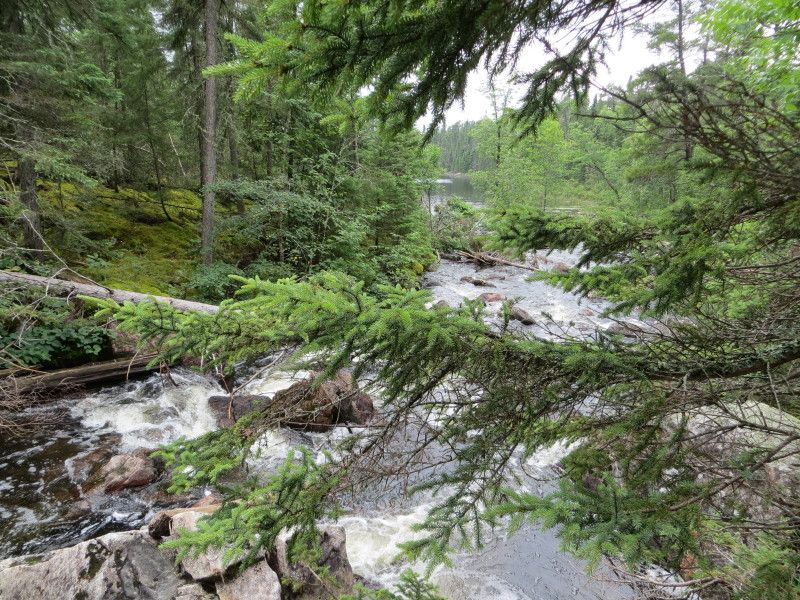
A few of the water and one at the end of the port
Aug2-5-14082_zpsee09e1ca.jpg

Aug2-5-14091_r1_zps622a78d1.jpg

Aug2-5-14094_zpscf6c9974.jpg


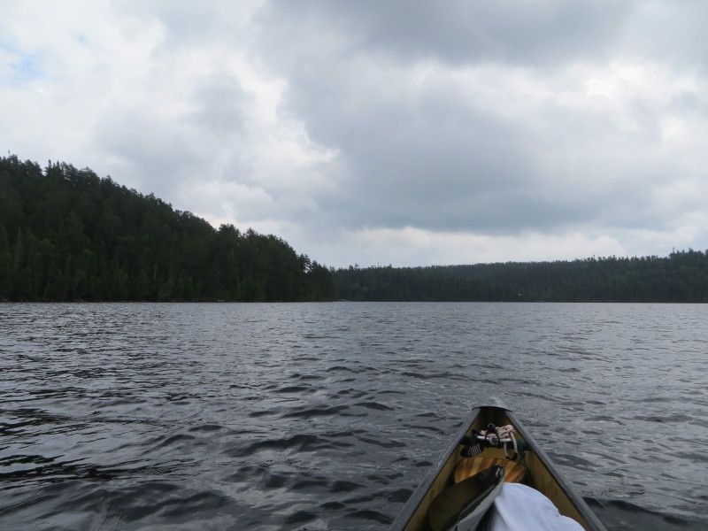
A quick run across Geejay Lake and then on to the Manomin Port
Aug2-5-14102_zps354e724c.jpg

Aug2-5-14116_zps57e8a3a2.jpg

Aug2-5-14118_zps3e524d61.jpg

Aug2-5-14119_zps913ba832.jpg

Aug2-5-14125_zps88d3f14d.jpg


Now on Manomin Lake with just the end of some rain from the time on port
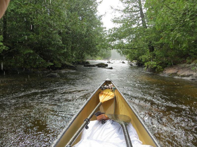
Aug2-5-14137_zps531c7699.jpg


And now some fun on Manomin Lake

Aug2-5-14129_zpsd119a3b2.jpg

Aug2-5-14141_zpsccf531f8.jpg

Aug2-5-14144_zps5e6efa22.jpg


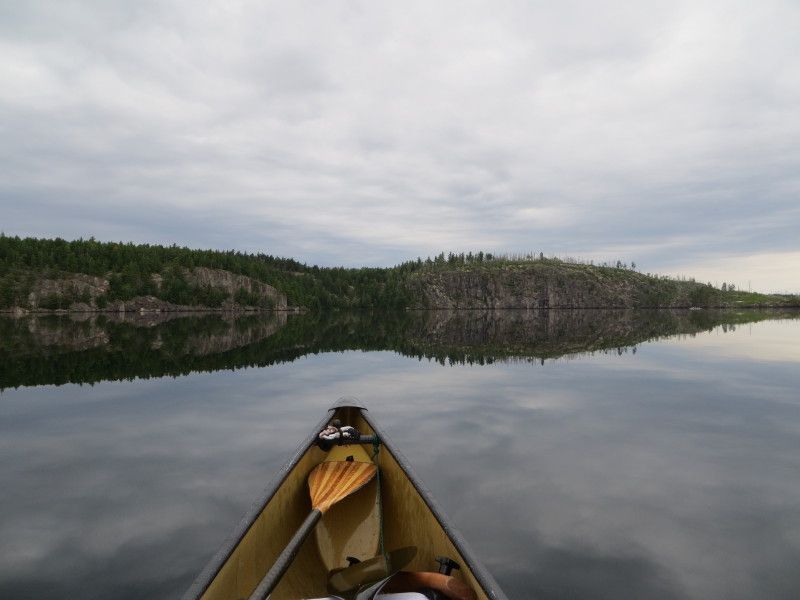
Land of the cliffs...

Aug2-5-14162_zpsb91dbd14.jpg

Aug2-5-14178_r1_zps98cb70d1.jpg

Aug2-5-14201_zpse7b734da.jpg

Aug2-5-14205_zps2151e89a.jpg


Landing at the Winnange Lake port
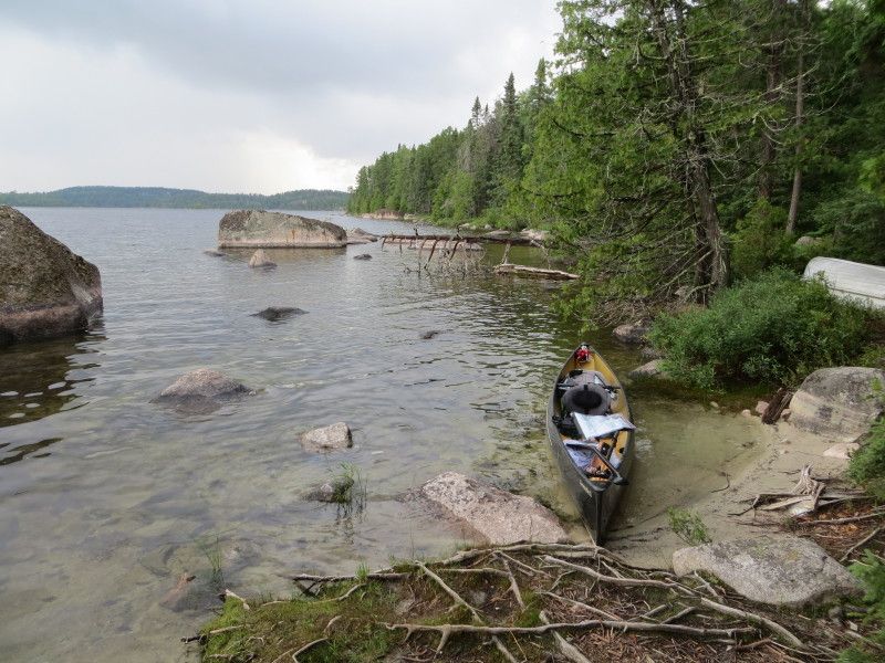
Aug2-5-14212_zpsddd6c577.jpg

Aug2-5-14213_zps5c3a154f.jpg

Aug2-5-14223_zps3c6cc32e.jpg

Aug2-5-14224_zpsd0f2f71e.jpg


And looking back from Winnange Lake side
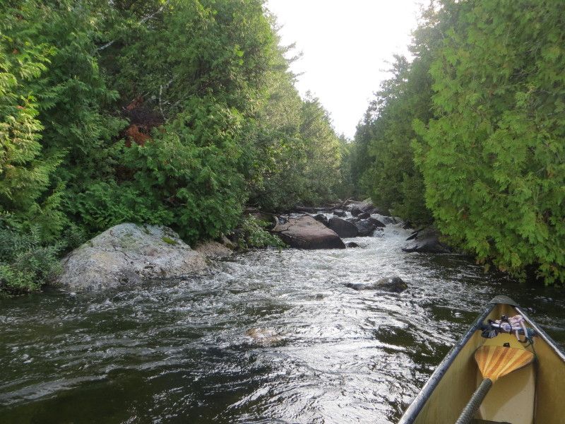
Aug2-5-14241_zpsdc534cf3.jpg


A few of the cliff just north of the port exit, a great spot to check out!
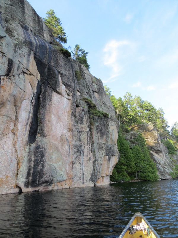
Aug2-5-14256_r1_zps39a19284.jpg

Aug2-5-14266_zps7282dec3.jpg

Aug2-5-14271_r1_zps7883bd7b.jpg


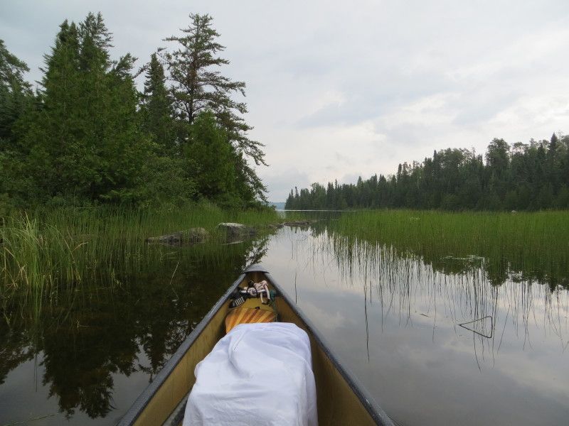
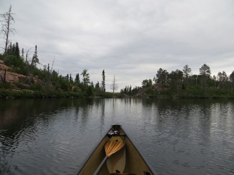
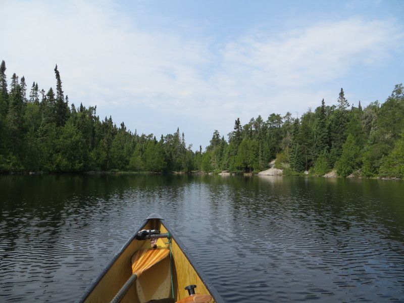
Then a few km of lake travel and onwards south to more fun
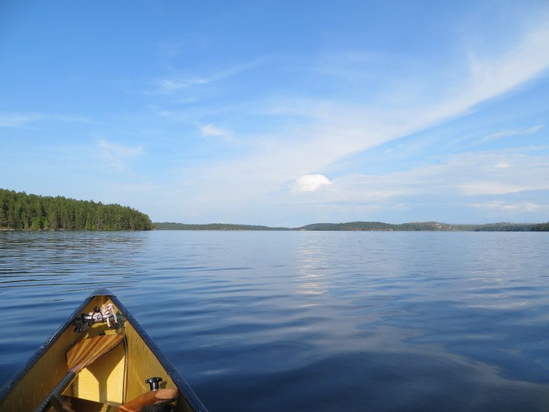
Aug2-5-14279_zpsee33f2c1.jpg

Aug2-5-14298_zps7e818c9c.jpg


End of the day and time for some sleep
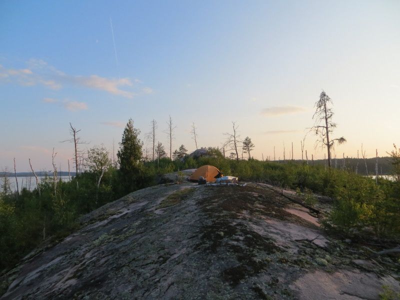
Aug2-5-14305_zps6aede575.jpg


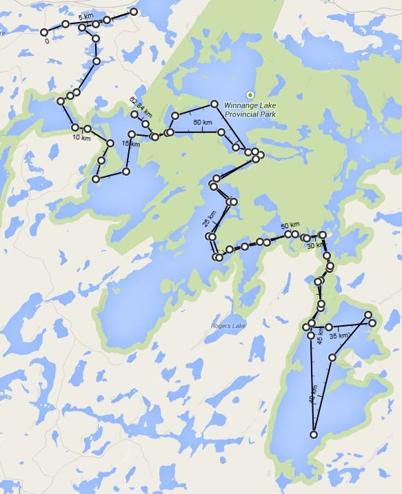
Map of today's travels

Day1ELA-1_zps571f1c2c.jpg
 
Last edited:
Day 2

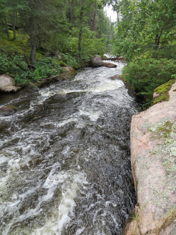
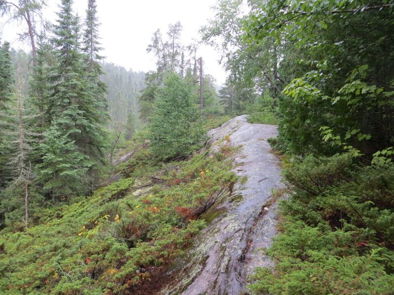
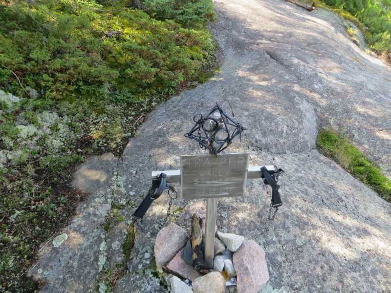
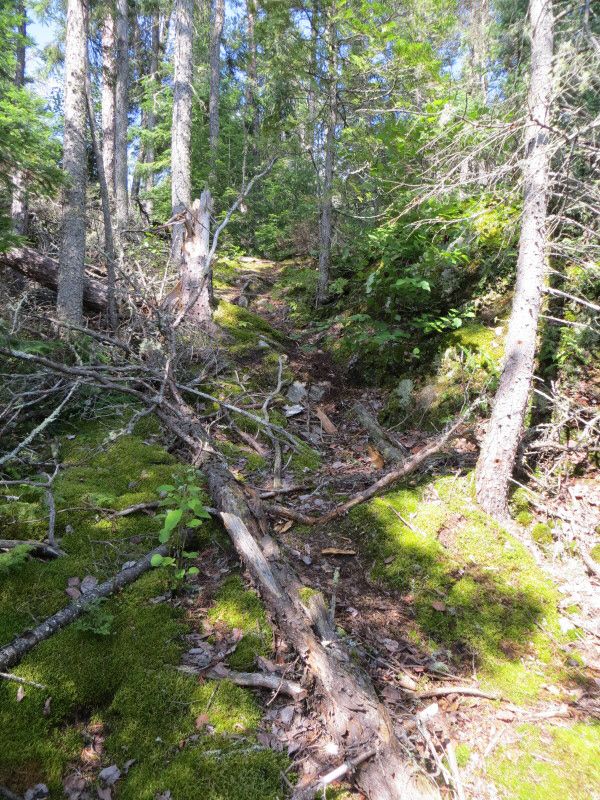
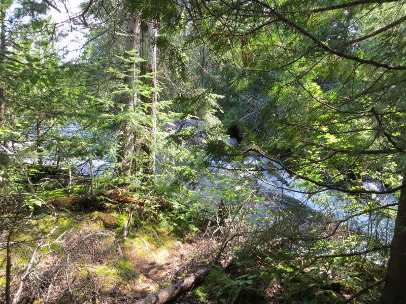
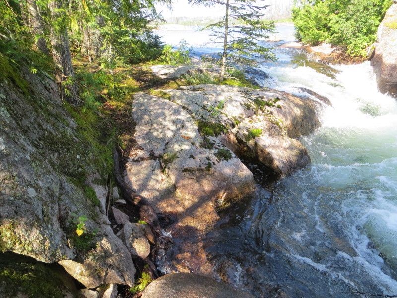
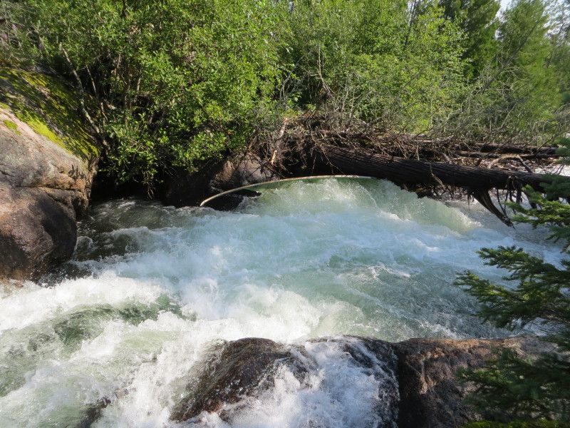
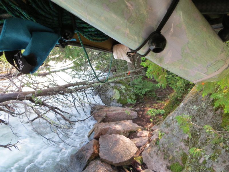
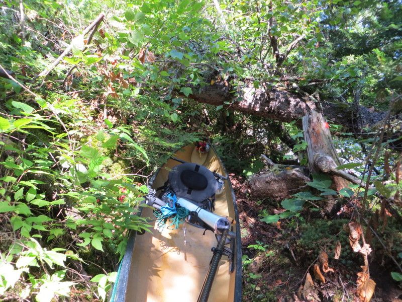
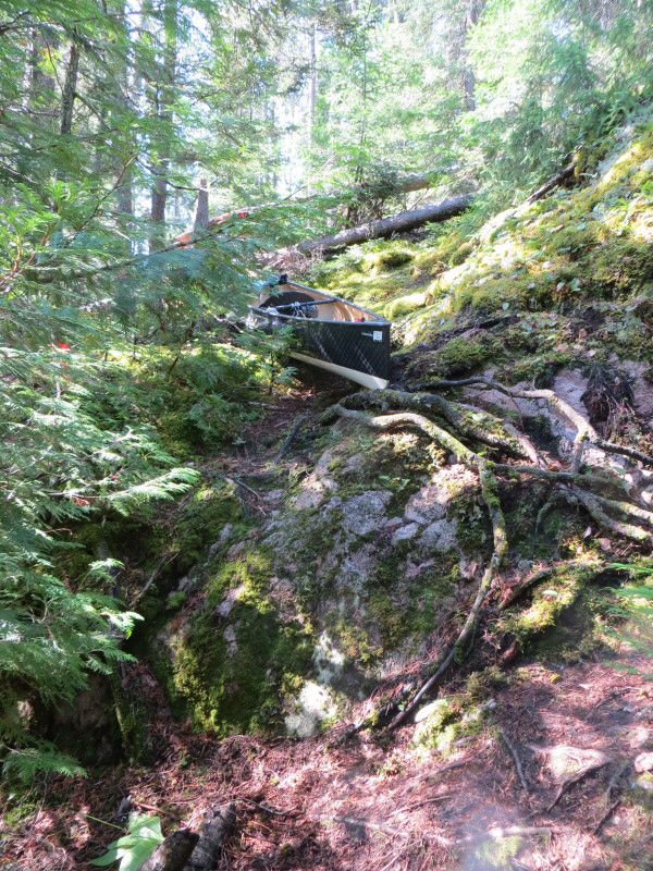
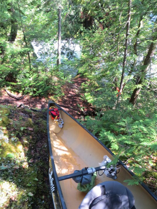
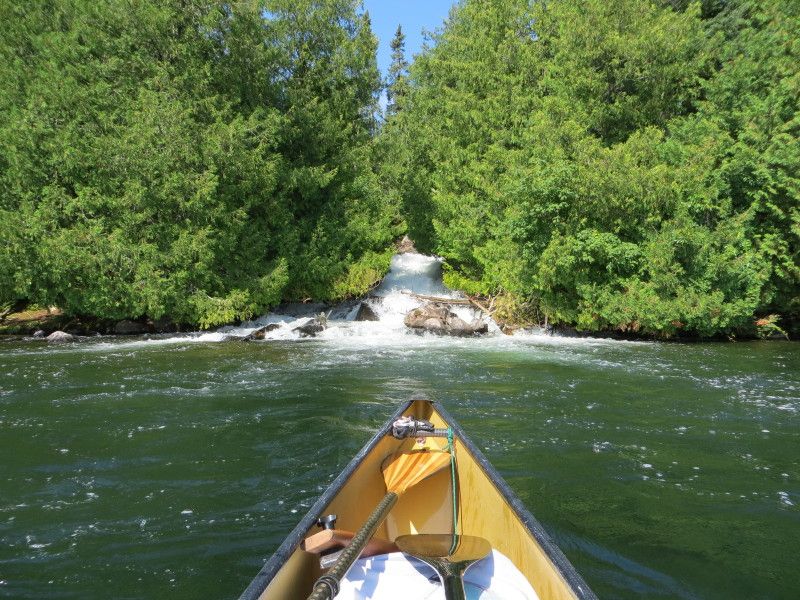
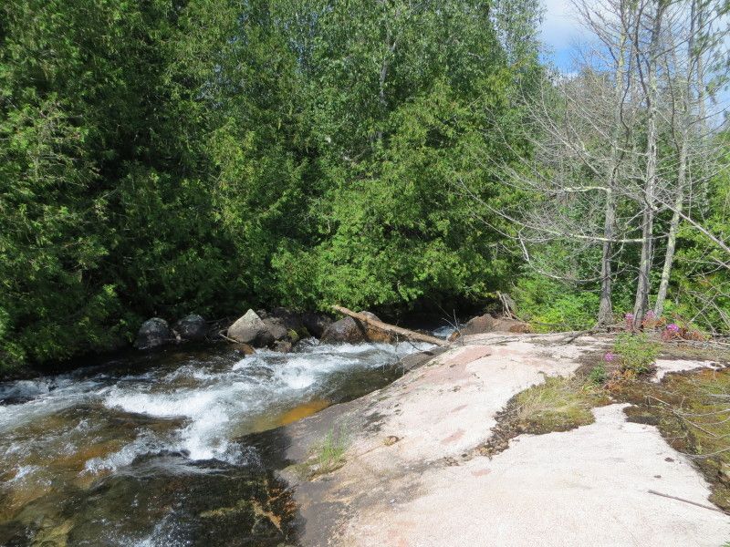
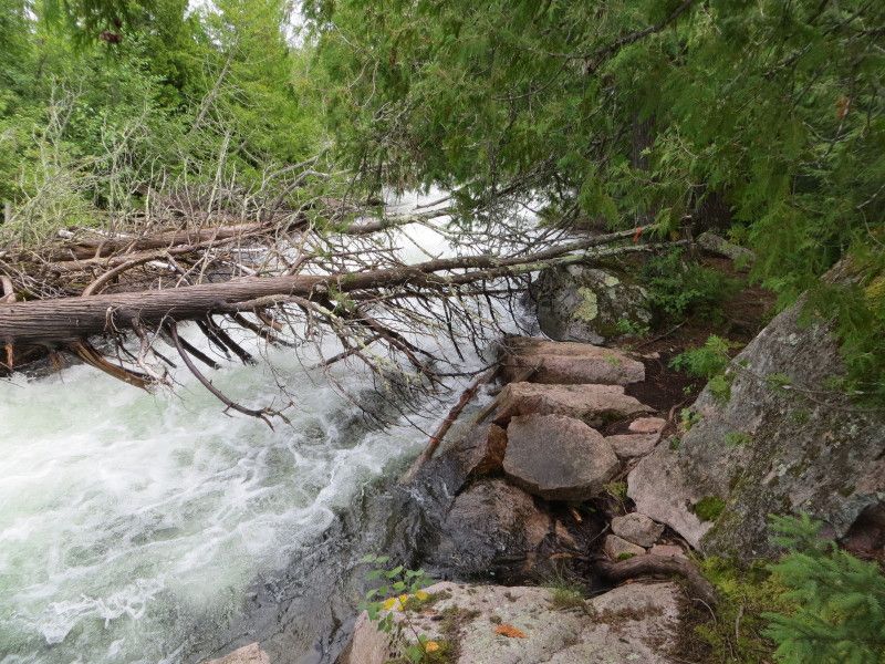
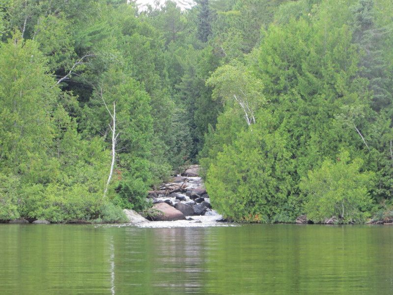
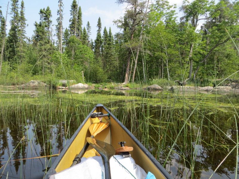
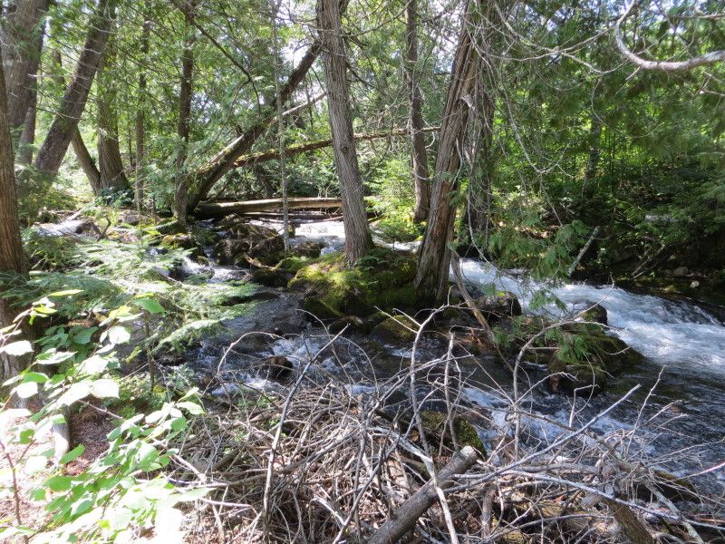
Day two started half way across Winnange lake on the way to Buzzard Falls. A "few" Km of paddling and I was on the landing of Buzzard Falls. Nice Monument right in the center of everything to Wally Stewart. Was nicely done. Then on to the most interesting port of the trip. At 96m not long but had a crazy time fitting around the trees and rocks and deadfall. Made for a fun time with a very nice set of falls roaring away just beside you. Got to the end of that with two carries again and was on my way. Nice time playing at the base of the falls as always and then on from West Arm of Eagle Lake towards Teggau Lake. A very nice swamp trail at the end leading up to the port.

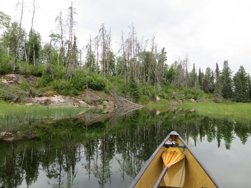
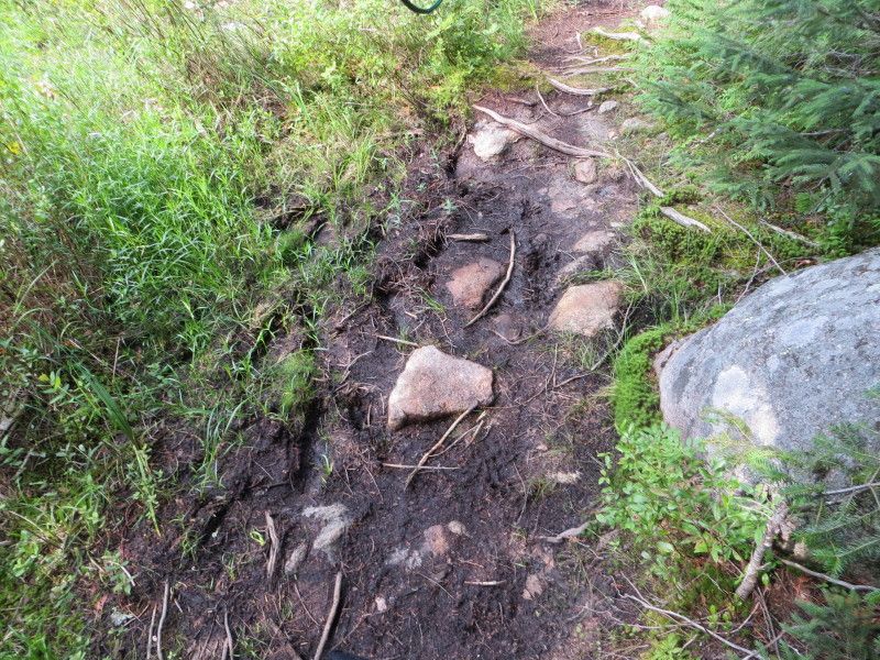
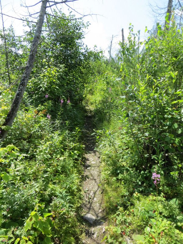
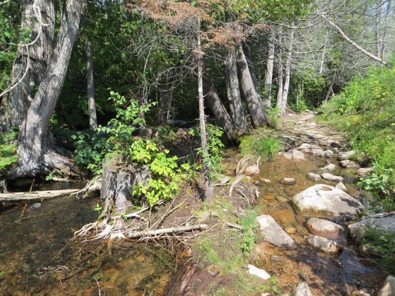
This port felt long for the 406m and muddy and wet and rocky and grown in as a perfect ambush spot for the bears. Lucky for me no such creatures here. Only seen two for the whole weekend and that was on the drive home. The area reminded me of the West Coast with the curved trees over the running water. 2x loads again. Then back in the water on Teggau Lake.

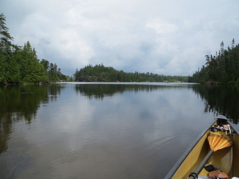
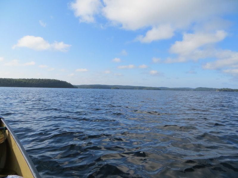
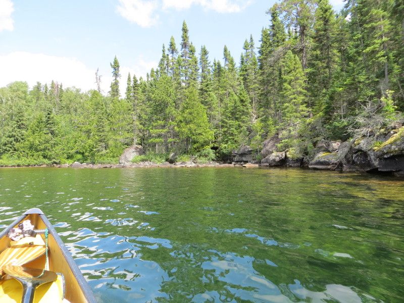
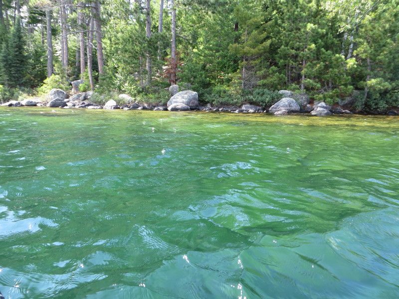
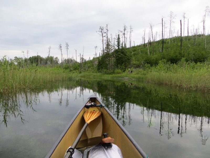
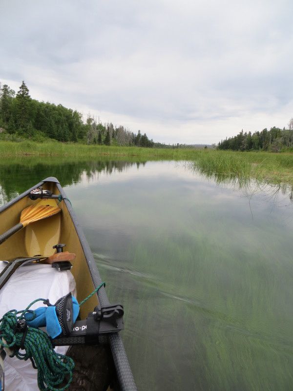
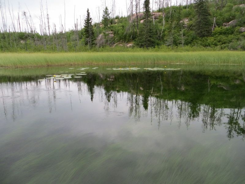
Had to check out the cliffs which were crazy cool and one set was over 300 in height. More looking around for marks on the rock and then across the lake towards Lake 386. Was unable to get access to that and with the sun stroke building it was time to find camp. Did I mention the 6km long lake and winds? I have decided that waves that lift the front of the canoe out of the water are not for me. Luckily it was just a few of that size and then things calmed down. Still warm at +30c and in the sun for the whole time too. I had hear of a nice spot on the south western corner of the south island and after arriving it was a treat! Nicely shaded and with a nice entry into the water from two sides. A crazy green color to the water in this lake too! Super Green- hope its safe to drink as I am still in need of lots of water.

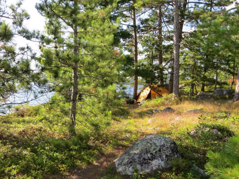
Camp is set up early and the rest of the day is recovery time. Did have a nice hike down the length of the island and I am camped in a blueberry patch that is wickedly full. At 17.5km and 1506m of port travel this day is still a good one. Going to sleep good tonight!

And now for the pictures...

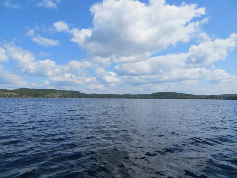
Winnage Lake

Aug2-5-14337_zps0fe1d75f.jpg

Aug2-5-14341_zps276285a5.jpg

Aug2-5-14349_zps3fe1b0a1.jpg

Aug2-5-14361_zps28602f80.jpg


Landing at Buzzard Falls

Aug2-5-14371_zps07b4a1ef.jpg

Aug2-5-14374_zps31355495.jpg

Monument
Aug2-5-14376_zpse1edcce4.jpg


And a fun port

Aug2-5-14379_r1_zps9879ed91.jpg

Aug2-5-14390_zpse6939a6f.jpg

Aug2-5-14396_zpsc44ab298.jpg

Alum fishing Boat pinned in the current
Aug2-5-14397_zpsddab88fd.jpg


2nd trip with the canoe...

Aug2-5-14402_zpse2943743.jpg

Aug2-5-14405_zpsdafcb84c.jpg

Aug2-5-14406_zpsc28c59f4.jpg

Aug2-5-14408_r1_zps1d4e7173.jpg

Aug2-5-14409_r1_zps8c1dfc0a.jpg


And finally a view from the Eagle Lake side.

Aug2-5-14429_zps27a31bac.jpg

Aug2-5-14434_zps47227460.jpg


Heading towards Teggau Lake and the cool Swamp Trail at the end of Eagle

Aug2-5-14439_zpscbe73ada.jpg

Aug2-5-14441_zpsc843e8e0.jpg

Aug2-5-14443_zps3fc0e754.jpg

Aug2-5-14446_zpsce06ee0d.jpg


Eagle Lake to Teggau Lake port

Aug2-5-14449_zps7c65a34f.jpg

Aug2-5-14459_zps92ec0ea7.jpg

Aug2-5-14462_r1_zps2a6af37f.jpg

Aug2-5-14465_zpsbe3976f5.jpg

Aug2-5-14469_zps08844cb6.jpg

Aug2-5-14476_r1_zps96b90a20.jpg


And now on Taggua Lake with some cool cliffs etc...

Aug2-5-14488_zps4a851d54.jpg

Aug2-5-14495_zpsd1c7f952.jpg

Aug2-5-14504_r1_zpsc012ad94.jpg

Aug2-5-14514_zps51e04ba7.jpg

Aug2-5-14516_zpse5d8e618.jpg

Aug2-5-14521_r1_zpsfefebce3.jpg

Aug2-5-14527_zps2762e979.jpg

Aug2-5-14531_zps0bae2a15.jpg

Aug2-5-14536_zps8c8e5150.jpg


And on the the South Island camp with some crazy green color

Aug2-5-14546_zpsb4c6076f.jpg

Aug2-5-14548_zpsddb5f3d9.jpg


Shady spot to Camp, Nice!

Aug2-5-14587_zps9312f654.jpg

Aug2-5-14588_r1_zps06e9741f.jpg

Aug2-5-14595_zpsf7fc5127.jpg


Map of the extra mileage...

Day2ELA-2_zpse7478d43.jpg
 
Day 3

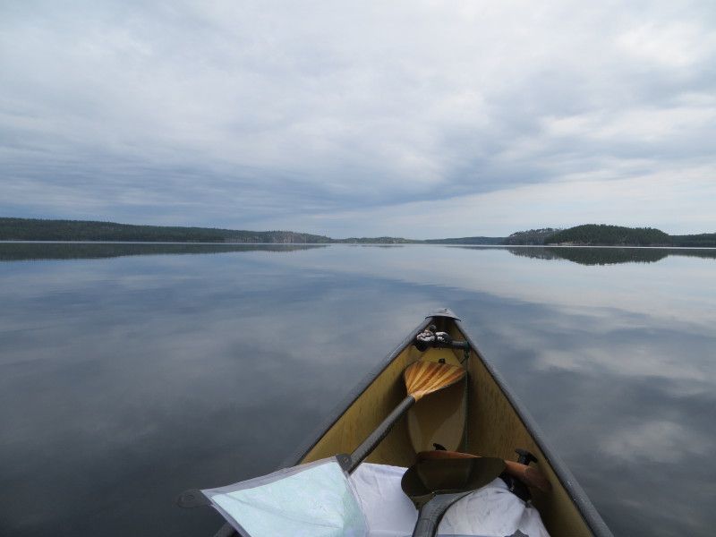
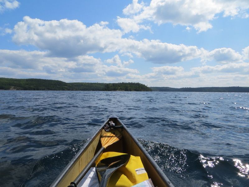
I am a mess. The heat/trip has killed me and I am suffering this morning. Not the way I would want to start the day. Need a long time to get moving. Time to start heading back as its more than a days travel to get out. I stay focused on the glass still water as I glide across the largest of the lakes. Past the large cliffs and through the narrow opening I pass through a oil/gas slick in the water. Nice to see that the fishing boats are leaving their mark. A huge eye sore at each of the ports too with them piled high on every bit of available shoreline. Ok rant off... Heat stroke makes me grumpy, Lol

Back on the Teggau/Eagle Lake Port and I go for the single carry as I have reduced weight with my food supply. That bag of salt and vinegar chips with the Pepsi was worth the weight! Still a very heavy load and am suffering at the end of it. Nice with just a single carry and will need to lighten my gear for next year. A fast buzz through the super green swamp trail leading into Eagle Lake and I am back at the Buzzard Falls Port. Double carry for this one! Ouch! Boat collects a few extra marks on this port going both ways.

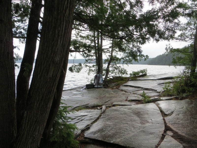
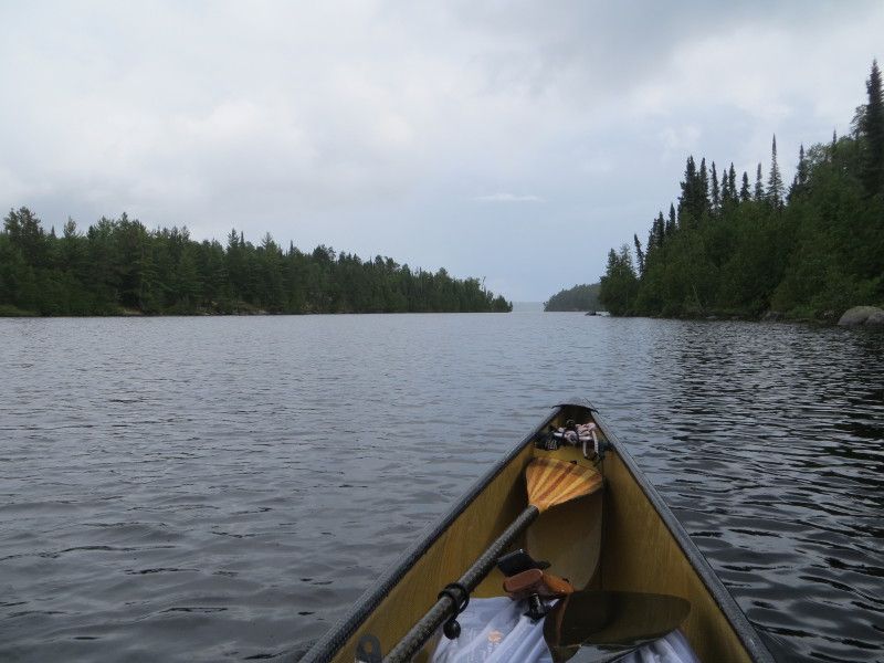
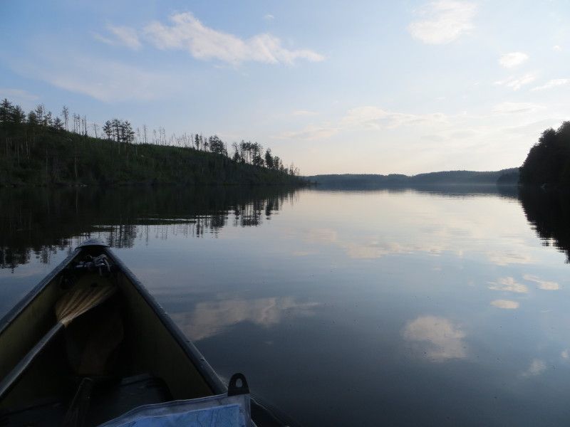
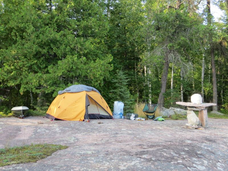
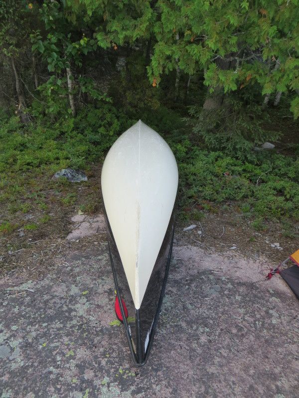
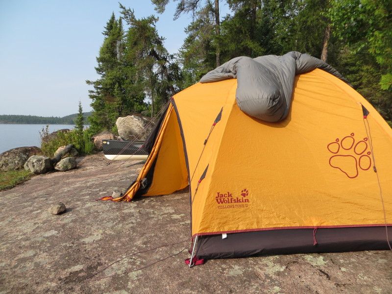
After the port its time to put the miles on and I hammer through Winnange Lake. Mileage time. A look at the clock and plenty of time for the Manomin Port at 438m. Single carry again. Two paddles that were there at the start are still there. Hope they find their owner/renter. I need to move off the port in a fast pace as a boat loaded is coming in. A great conversation with an American Cabin Owner and family and I am on the way. Wish them better luck on the fishing! Specially for the grandkids. After the port exit its time to call it a day and I look for the next available spot. Find a crazy nice one with a huge Cairn facing the lake. This is on the northern shore just after the port. Camp is slowly set up as I am moving slow/sore. Still downing lots of water etc. A look at the bottom of the canoe in the right light is starting to show the damages from partially submerged rocks and trying to bend it around trees and rocks at the same time. Going to be sweet looking after a few years of fun trails! I like it! The tent is on a flat spot of rock and I am going to enjoy the sleep tonight. 21.5km travelled and 1036m of port travel.

Rough start but smooth waters...

Aug2-5-14599_zpsb1ad40c7.jpg

Aug2-5-14604_zpsc2f84fcf.jpg

Aug2-5-14608_zpscc4140e2.jpg


Sludge from the motors...Yum

Aug2-5-14620_zpsc1aeccec.jpg


Aug2-5-14624_zps5458a2e0.jpg

Aug2-5-14626_zps02b84ef0.jpg


Back at the port, tough in single carry mode

Aug2-5-14632_zps46eda5c0.jpg


More of the Eagle Lake Swamp trail

Aug2-5-14635_zps036758b7.jpg

Aug2-5-14640_r1_zpsec472247.jpg

Aug2-5-14642_zps3f6421bf.jpg

Aug2-5-14644_zps6dec0d0f.jpg


Aug2-5-14645_zps4f4193b3.jpg


Buzzaed Falls port time again, doing this as two loads

Aug2-5-14649_zps985afdb9.jpg

Aug2-5-14652_zps646558bc.jpg

Aug2-5-14659_zpsde601fc0.jpg

Aug2-5-14661_zps2775c7a1.jpg

Aug2-5-14662_zps92f19190.jpg


Now on Winnange Lake and some time for paddling...

Aug2-5-14665_zps45b024b6.jpg

Aug2-5-14667_zps69034832.jpg

Aug2-5-14670_zps91a1c6ba.jpg


Rest breaks included

Aug2-5-14673_zpsbb5ee457.jpg

Aug2-5-14674_zpsc878fc4c.jpg

Aug2-5-14676_zps93261b8a.jpg

Aug2-5-14691_zpse623eb10.jpg

Aug2-5-14693_zpse897a470.jpg


Time for the Winnange to Manomin Lake port again

Aug2-5-14698_zpsee393fdf.jpg

Aug2-5-14701_zps86cbb9ae.jpg

Aug2-5-14705_zpsf35499db.jpg

Aug2-5-14709_zps773e6a28.jpg

Aug2-5-14710_zps27824a07.jpg

Aug2-5-14715_zpsf45f2e15.jpg


Rough times, time for camp...

Aug2-5-14721_zpsf3799e03.jpg

Aug2-5-14725_zpsa1342fe3.jpg

Aug2-5-14728_zps496f2c31.jpg

Aug2-5-14737_zpsb71395b2.jpg

Aug2-5-14738_zps0de4d8f2.jpg


Showing bsome marks now! And some extra Mileage on the map.

Aug2-5-14740_zps4bab00a7.jpg

Day3ELA-3_zps991a627d.jpg

 
Last edited:
Absolutely stunning place to paddle. Those lakeside rock formations are amazing. What a great way to spend the long weekend. Thanks for sharing Ice.
ps Those limbo dance lessons sure paid off for that portage, didn't they?!
 
Day 4

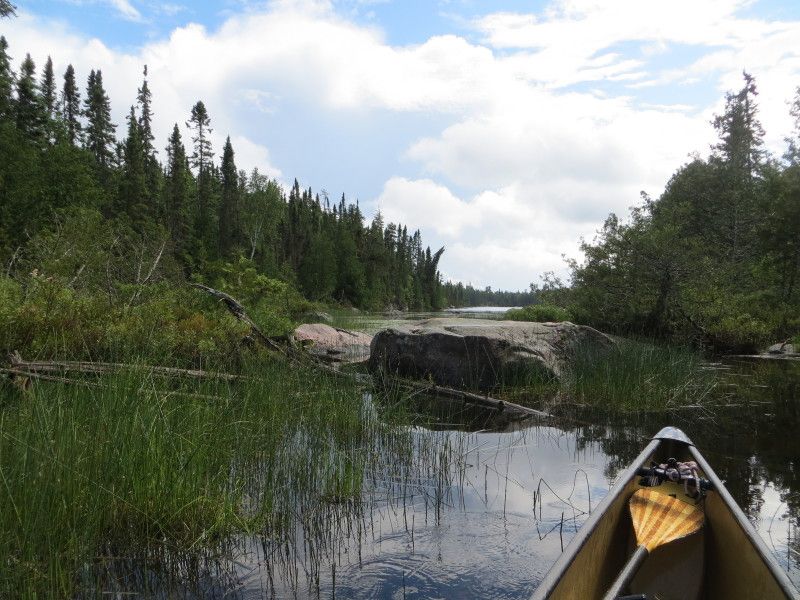
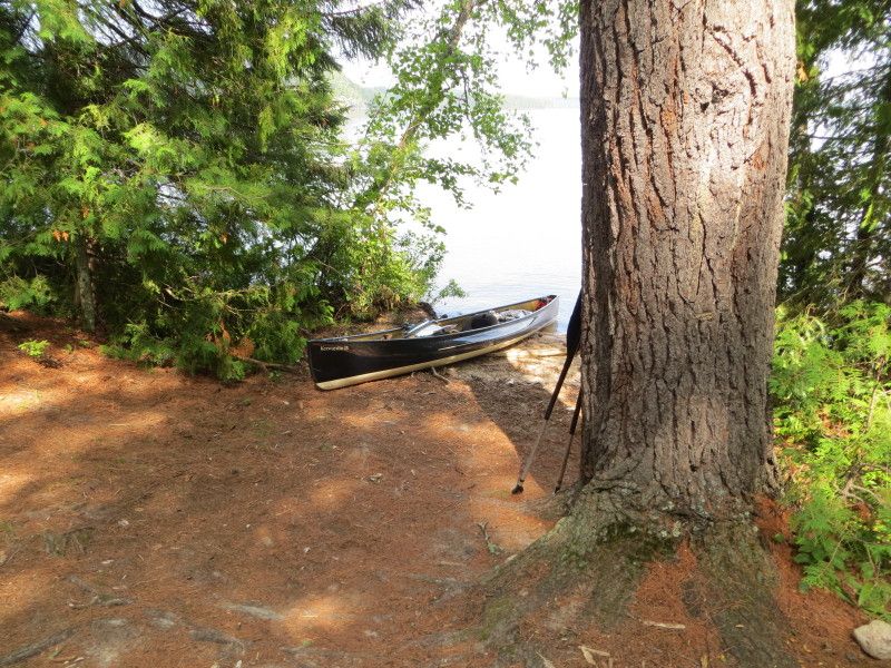
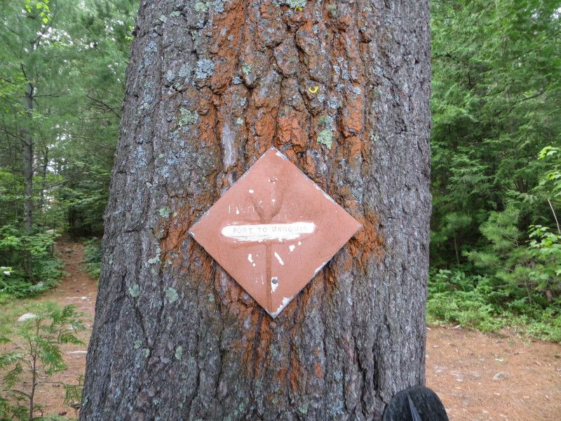
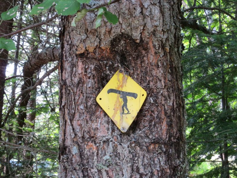
Ouch, the sun stroke is not as bad but the back is reminding me of previous adventures. It takes me a 1/2hr to get off the ground. Fun times. Last day out but doing a straight line back to the truck due to my condition. No extra side trips at this point. Still take in a few rock faces and islands on the way.The second last port is 323m and I do that single carry to save on the walking. Learn to roll the boat on the shoulders while having a huge 2450 storm case strapped to my chest. Starting to learn how to make it easy on myself with the movements/lifts. Now to get some light gear! After the last port I am on Lower Stewart Lake and am heading back the starting point. Last little bit is a nice swamp trail and then my take out point. Pass a couple and their huge dog as they paddle out on the way to parts unknown. I do love the port sign at this spot! I want to find a supplier for this style. 16min later I am loaded with baggage put away cookies consumed and the boat loaded. That was my last 50m of carry as well. Going to feel this trip tomorrow! Lol Just 8km of travel and 643m of port travel for the half day.

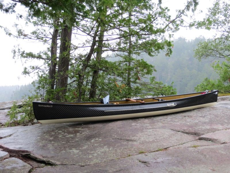
Things I learned is 15-20lbs makes a huge difference when you are at your load capacity and I have more stuff I can leave at home. Need to keep an eye on exposure and heat/temps and drink more water! Lots more! Can save 5lbs on a tent and 2.5lbs on a bag and 1lbs more to leave a tarp behind that never has been used yet. Then time to down size the gear list etc. I am looking at the EPIC harness for when a dual carry for food is required as well. I like the single carry way better than the double carry! That or I need to get in shape again.

So in short a ELA 4 day 71km trip with 6520m of port travel that left me sore/tired and very happy with way too many pictures again! Will need a recovery weekend before the next adventure!

Cheers

Aug2-5-14745_zpsa4bfc09d.jpg

Aug2-5-14747_zps752ac552.jpg

Aug2-5-14749_zps41dc0a9f.jpg


Manomin Lake

Aug2-5-14754_zps1badb44a.jpg

Aug2-5-14755_zps27b76613.jpg

Aug2-5-14757_zps12ec8ff6.jpg

Aug2-5-14759_zpsdb8d3c5f.jpg


Manomin to Geejay Lake Port

Aug2-5-14762_zpsd1f003d0.jpg

Aug2-5-14764_zpsb0fd91f3.jpg


Aug2-5-14766_zpsc3442fda.jpg


Geejay Lake

Aug2-5-14778_zpscdf3f1bf.jpg

Aug2-5-14780_zps8835de11.jpg


Geejay to Stewart Lake Port

Aug2-5-14782_zpscf994ccb.jpg

Aug2-5-14791_zpsbb5a5c27.jpg


And the last part going nort on Stewart back to the truck...

Aug2-5-14797_zps8dd9a12b.jpg

Aug2-5-14808_zpsc3399775.jpg

Aug2-5-14813_zps0f657450.jpg


Couple and their Dog just starting out for their trip

Aug2-5-14816_zpsad153746.jpg


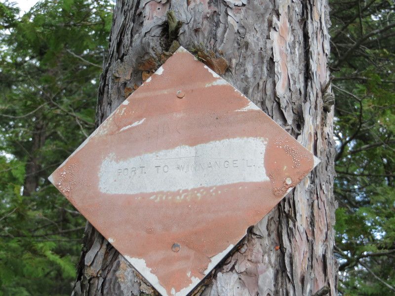
I want to buy a few of these signs, any help on were to find a few?

Aug2-5-14820_zps59145cd7.jpg


End of the route and another Mileage map rior to heading home...

Aug2-5-14821_zpsa42712de.jpg

Day4ELA-4_zps0873da1f.jpg

Aug2-5-14826_zpsc326a20c.jpg

Aug2-5-14837_zps9674c961.jpg
 
Last edited:
Absolutely stunning place to paddle. Those lakeside rock formations are amazing. What a great way to spend the long weekend. Thanks for sharing Ice.
ps Those limbo dance lessons sure paid off for that portage, didn't they?!

The pictures wont do this place justice. I did need a better body to wiggle under the trees and around the rest!
 
If you ditched the big arse Pelican that you use for food, just the case likely weighs 20 pounds. A small pack with dry bags for food could solve a weight issue.

You must have been a backpacker in a previous life to be so concerned with weight. ;)
 
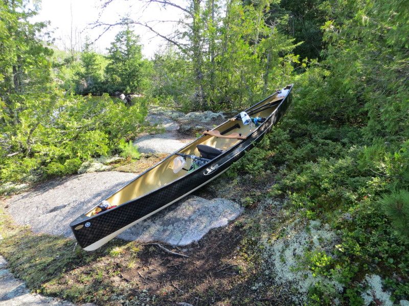
I put one of those portage signs at the bottom of our basement stairs. (It's only funny to anyone who's ever wished there were carpeted stairs out there.) I'll try to remember where I got it. I must respectfully disagree about photos. You can only have too few of them. My wife was just now looking over my shoulder at the gorgeous park we've never heard of. She loves your canoe (so do I), and has put that place on a must see-paddle list. Thanks icedragonmx for sharing an incredible trip.
 
If you ditched the big arse Pelican that you use for food, just the case likely weighs 20 pounds. A small pack with dry bags for food could solve a weight issue.
You must have been a backpacker in a previous life to be so concerned with weight. ;)

I had mice etc. chew through a Lowe Alpine bag and a Gregory Pack so I like something a little more bite proof now! At 7.4lbs I am thinking the Storm is too heavy for a 30lt container. Did look at using a few of these instead---- http://www.mec.ca/product/5020-583/ursack-s29-allwhite-bear-resistant-bag/ but at 10.5lt each they are quite small and would need lots for an extended trip. Plus a pack to carry them in.

I used to go hardcore trad rock and ice climbing so weight was always an issue when climbing straight up or on overhanging routes;)
 
I put one of those portage signs at the bottom of our basement stairs. (It's only funny to anyone who's ever wished there were carpeted stairs out there.) I'll try to remember where I got it. I must respectfully disagree about photos. You can only have too few of them. My wife was just now looking over my shoulder at the gorgeous park we've never heard of. She loves your canoe (so do I), and has put that place on a must see-paddle list. Thanks icedragonmx for sharing an incredible trip.

Thank you! I hope you have a great memory! Lol. The canoe is wonderful and will handle some weather/wind as well. The ELA area is worth a trip! Plan to have a bit of time if you go to more than one area.
Experimental Lakes area, links etc.

http://www.experimentallakesarea.ca/ELA_Website.html

Wicked map to help with route planning

http://www.experimentallakesarea.ca/images/over/ELA_5.1.pdf

Blog with a route discription

http://lisatakesflight.blogspot.ca/

Free Press Link that I followed- Thanks Bartley Kives!!!

http://www.winnipegfreepress.com/sp...litude-just-an-extra-hour-away-163272866.html
 
The Experimental Lakes Area (ELA) occupies a unique position, not only in Canada but in the world, as a dedicated research facility for ecosystem-scale experimental investigations and long-term monitoring of ecosystem processes. Located in a sparsely inhabited region of southern Canada, the ELA is relatively unaffected by external human influences and industrial activities. As such, it serves as a natural laboratory for the study of physical, chemical and biological processes and interactions operating on an ecosystem spatial scale and a multi-year time scale.

http://www.experimentallakesarea.ca/ELA_Website.html
 
Last edited:
You may be able to take this clip art to a sign maker and have them do it in vinyl for you. Then you just need a painted square to put it on.
 
Ursacks fit food fine for a weekend but if you want more room for a weeklong trip, try a 30 liter barrel with harness. The barrel with harness is way more comfy than a Pelican case.

I got my canoe portage sign from a guy in Bancroft. They used to use them in Algonquin Provincial Park. I have a campsite sign too. They are both at the end of my driveway.
 
I did enjoy the challenge but will need to get in shape before I try that again! Lol. Need to watch the heat and drink more water too! Thanks for the link!

I did find a maker for the portage signs using the Google image search.... http://www.chrismar.com/P020Signs0907.htm Looks like a perfect match!

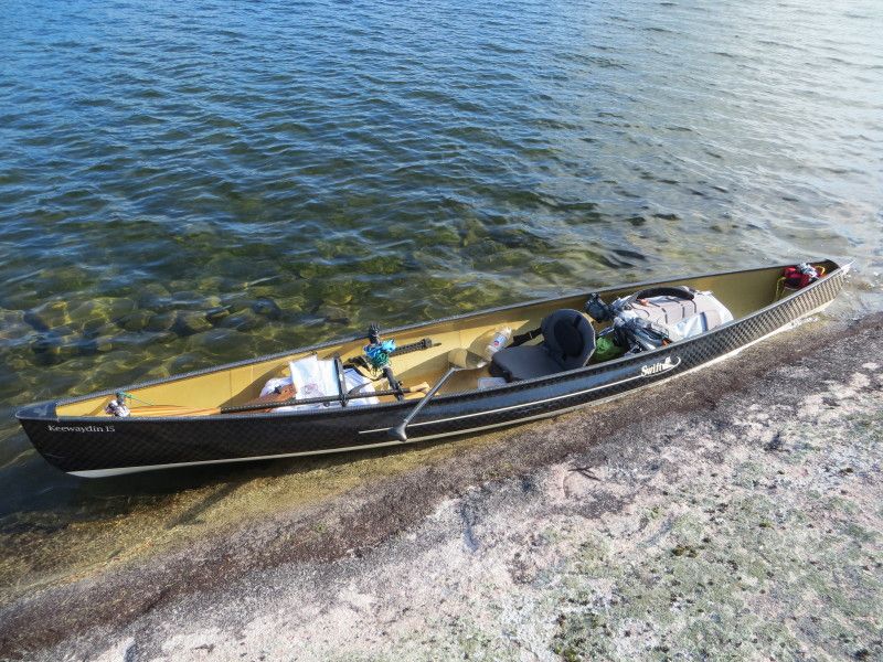
Was trying to stay away from the barrel as the curve would sit on my spine. Will try the Epic harness for a second carry. Wish Ursacks made a bigger bear/rodent bag!

And the best news is a new computer! I might not have any more issues with posting! Nice to get something that works proper!!!!!:eek:
 
Back
Top