Upper Manistee River Canoe/Hike Trip
April 19-20 2013
River Flow: 2670 CFS
Group Members- Just Me
This was a trip I have been putting of for almost a month due to weather. I decided that was no longer going to keep me home, so I packed my gear and prepared to go. I was looking for an early start to this trip so I left work early around 11am. After battling 45 MPH wind guest on the drive up, I arrived at Red Bridge around 3pm. Drove up a sometimes flooded, sometimes frozen Upper River Road to Woodpecker Creek Launch near Hodenply Dam and found a place to stash the canoe, dry bag, life jacket, paddles, and boots. Drove back down and hid my backpack in the woods around Sheep Ranch Road. Made back to the Red Bridge parking lot around 4pm. Fifteen minutes later I was dressed and ready to begin.
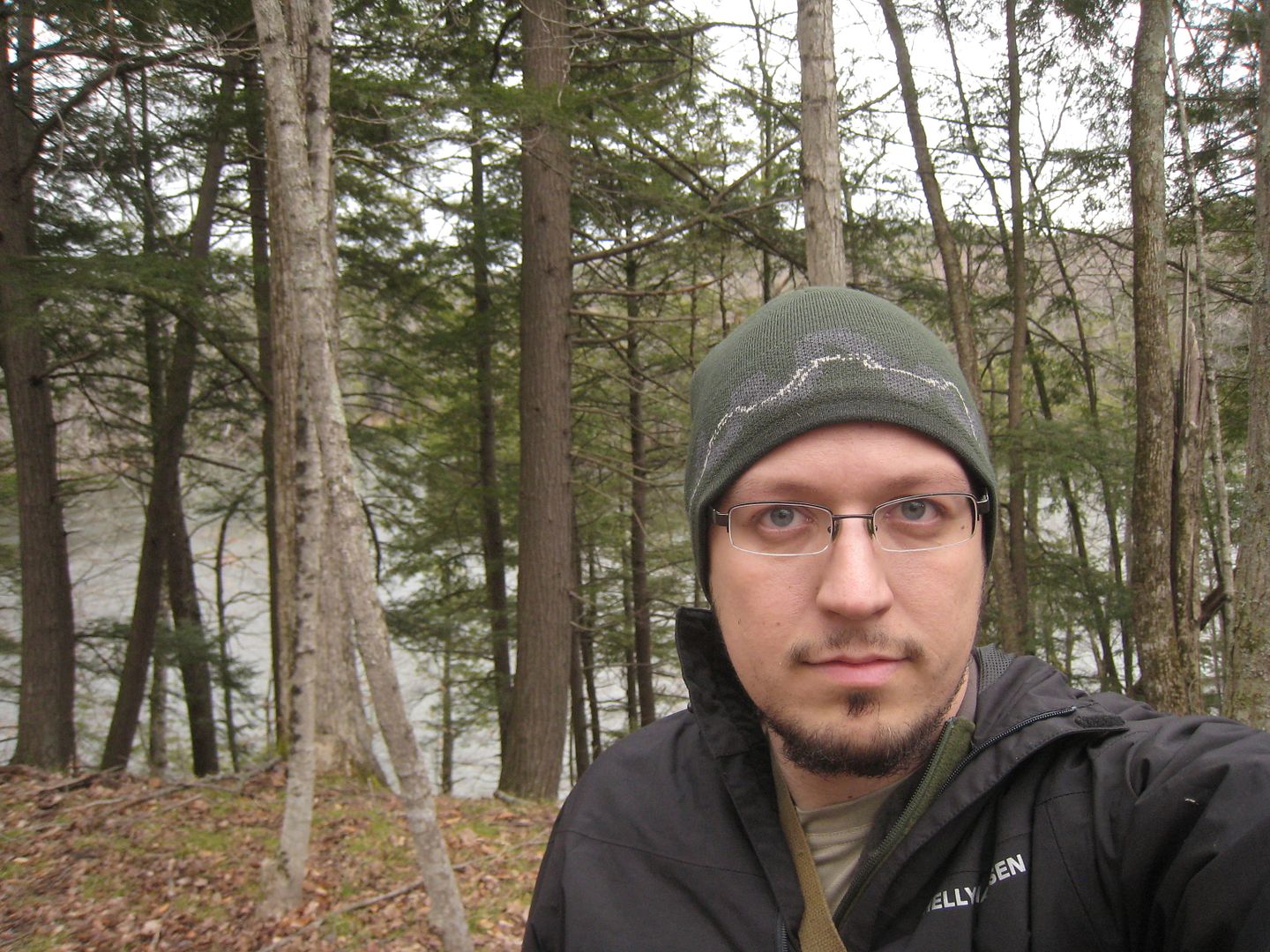
Me ready to go
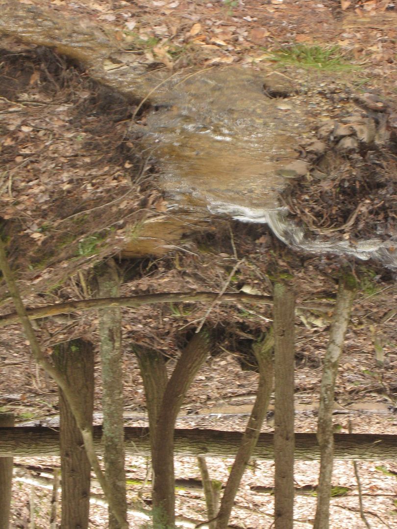
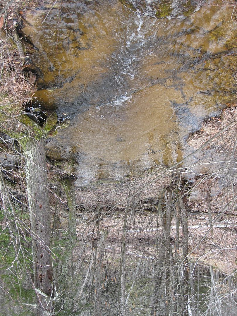
With all the rain this past week every little valley was flowing with water.
Most people do not think of big hills and valleys in this part of Michigan, but they do exist here. I am glad that most of this area is National Forest.
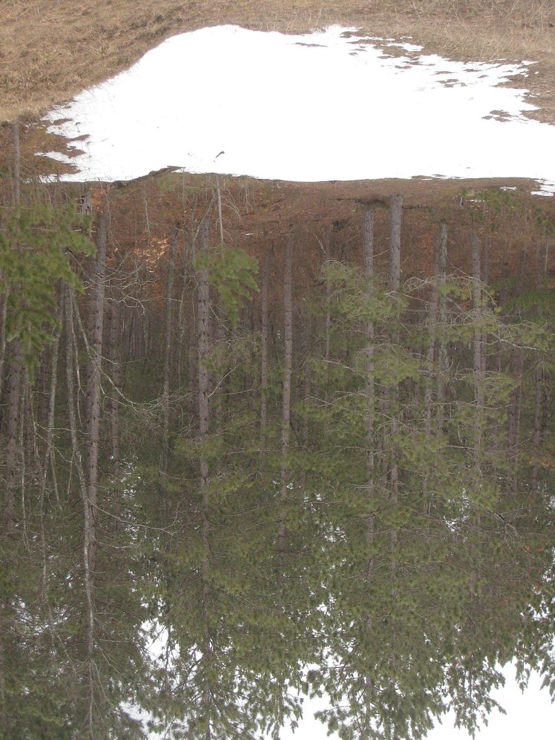
Snow could still be found in the woods in many places.
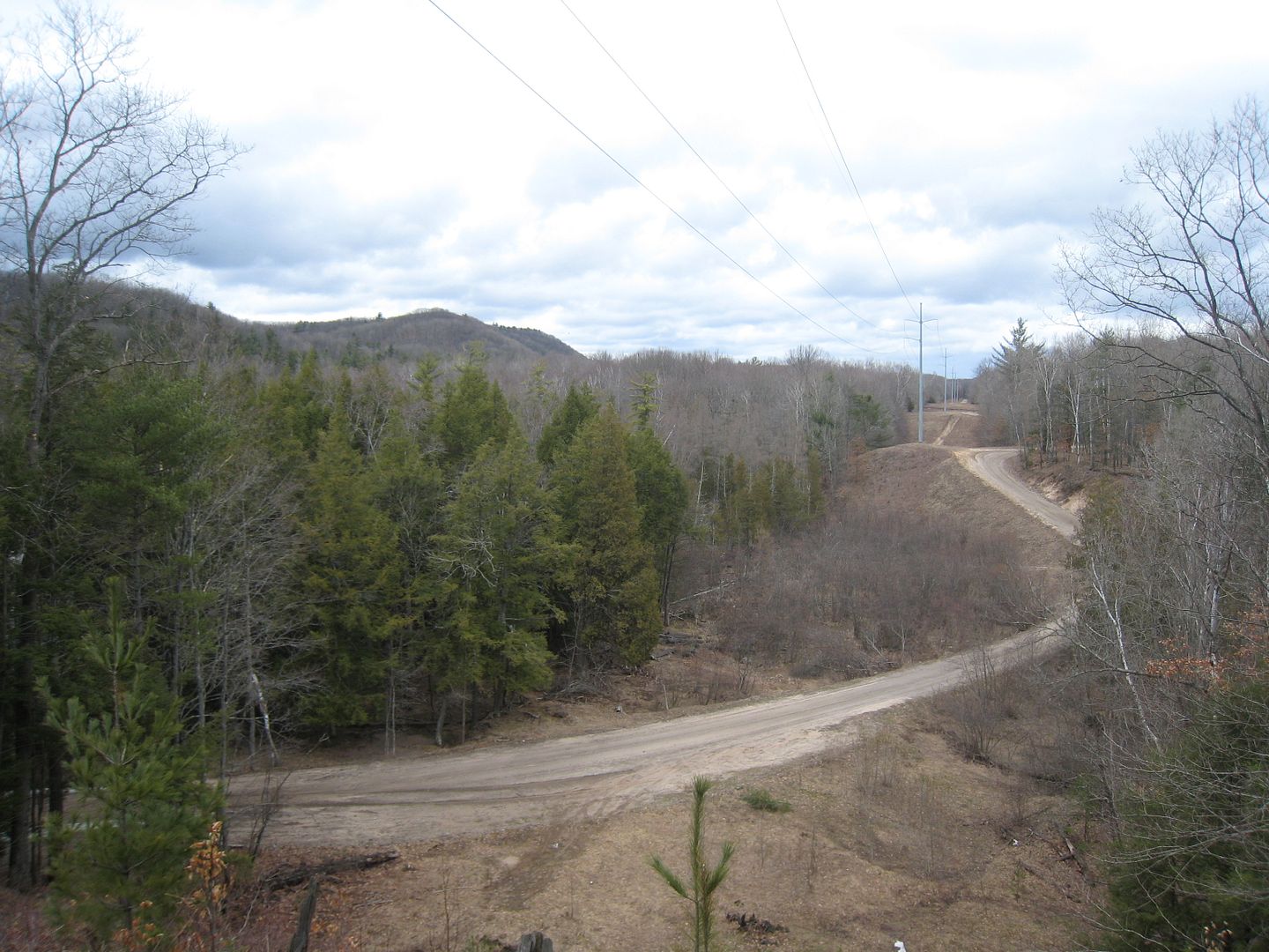
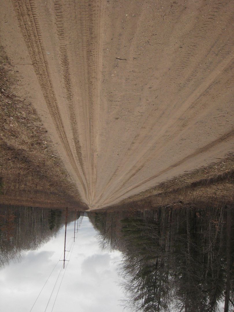
Upper River Rd. The utility poles helped keep track of time and distance. Each pole was marked with a number.
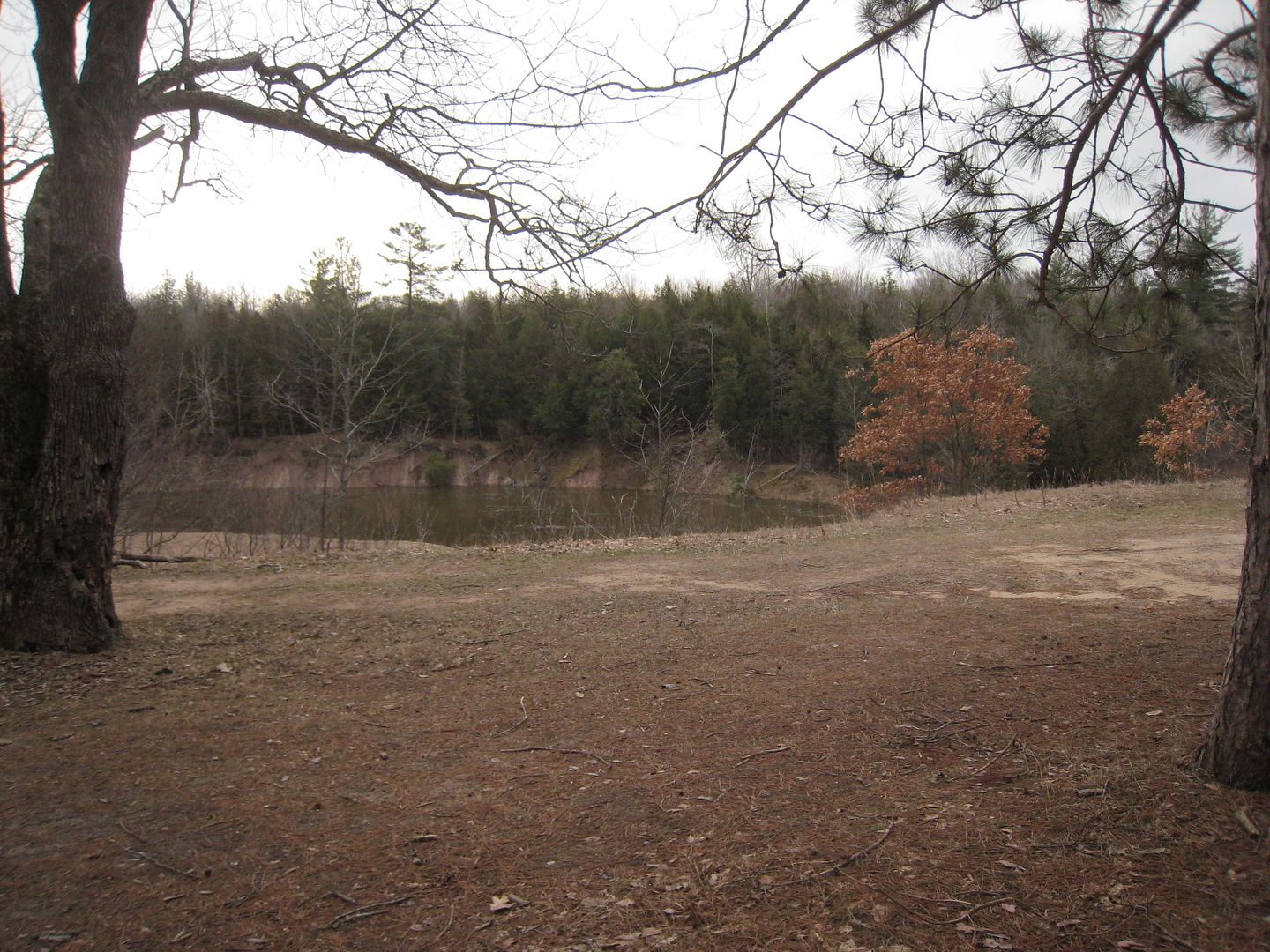
I made good time hiking up the road and made it to my backpack in an hour and half. I decided to go further and hiked another mile before looking for a place to set up camp. I wanted a place close to the river with a southeast opening so if the sun did come out it would warm me in the morning. It had done everything from rain to sleet and snow on the ride up. Temp was 36 when I left my car and weather reports were saying a low around 20. I had found a place overlooking the river near Eddington Creek.
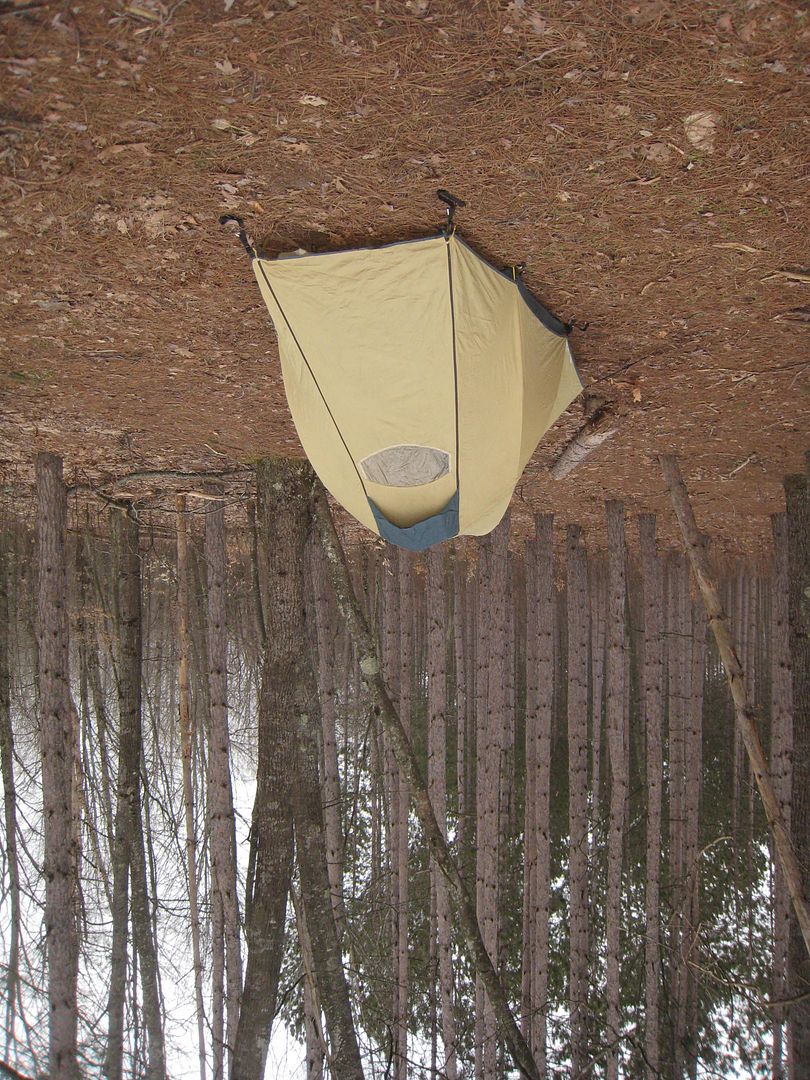
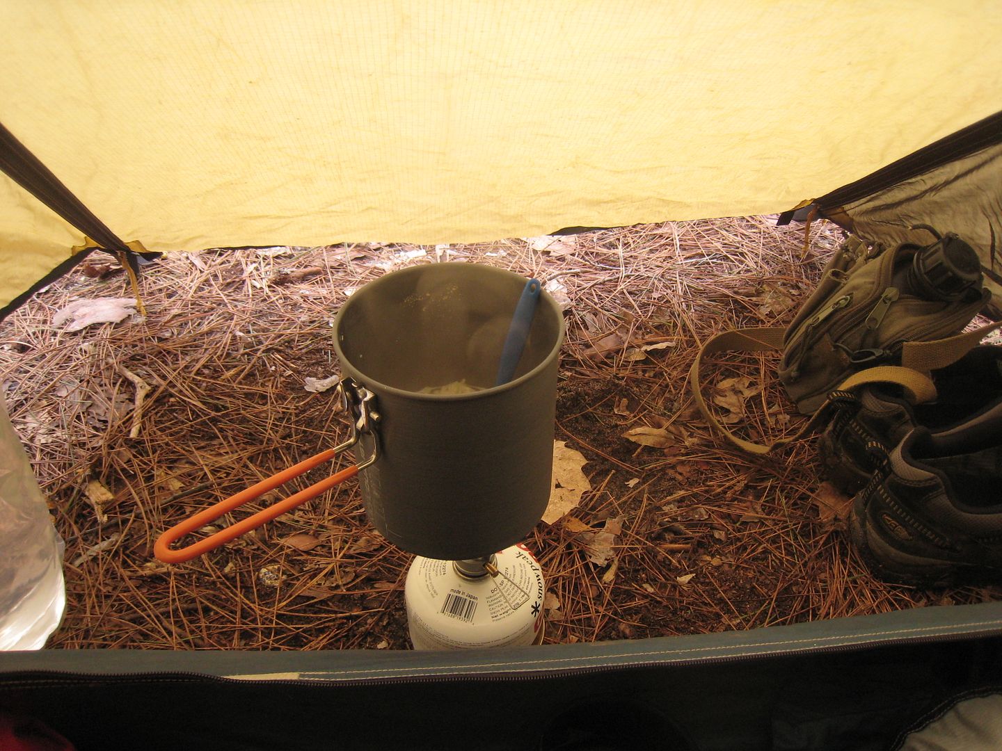
Dinner of Roman and Beef Jerky. Yes I cook inside my tent when it is too windy and cold to sit outside. I would only do this with my isobutene stove. Never with a liquid fuel stove.
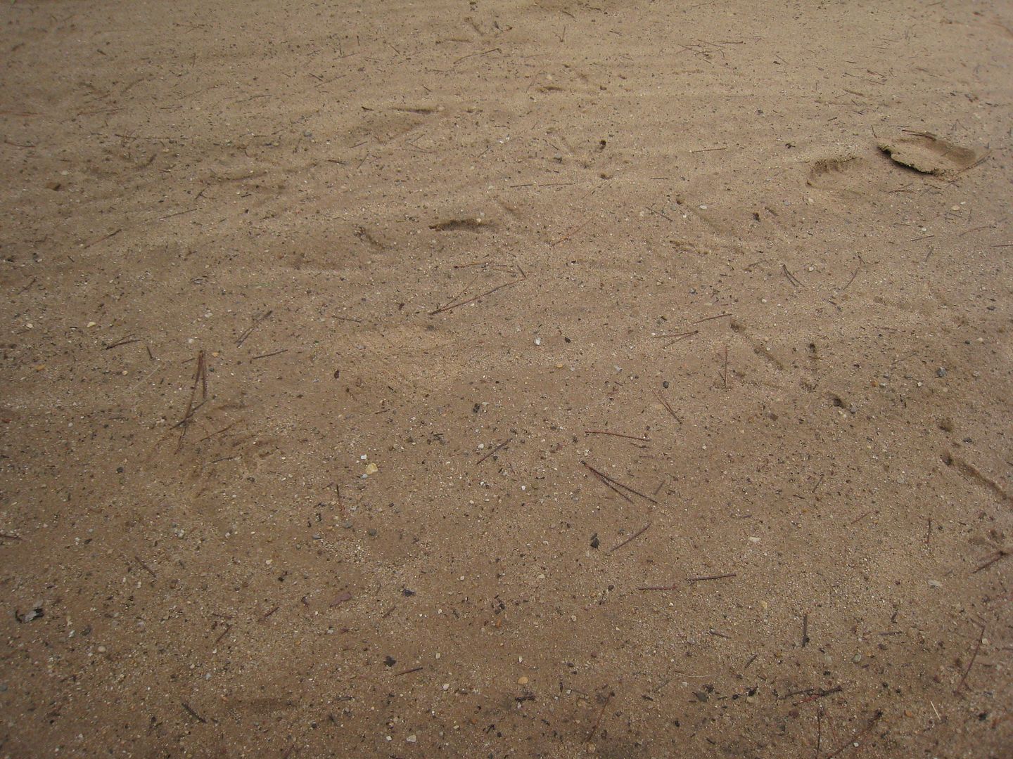
I had noticed these on my way to set up camp and didn’t think anything of it. I soon found that this is an active turkey path, when the 6am gobbler came walking through and woke me up. Kind of hard to see but look hard for their foot prints.
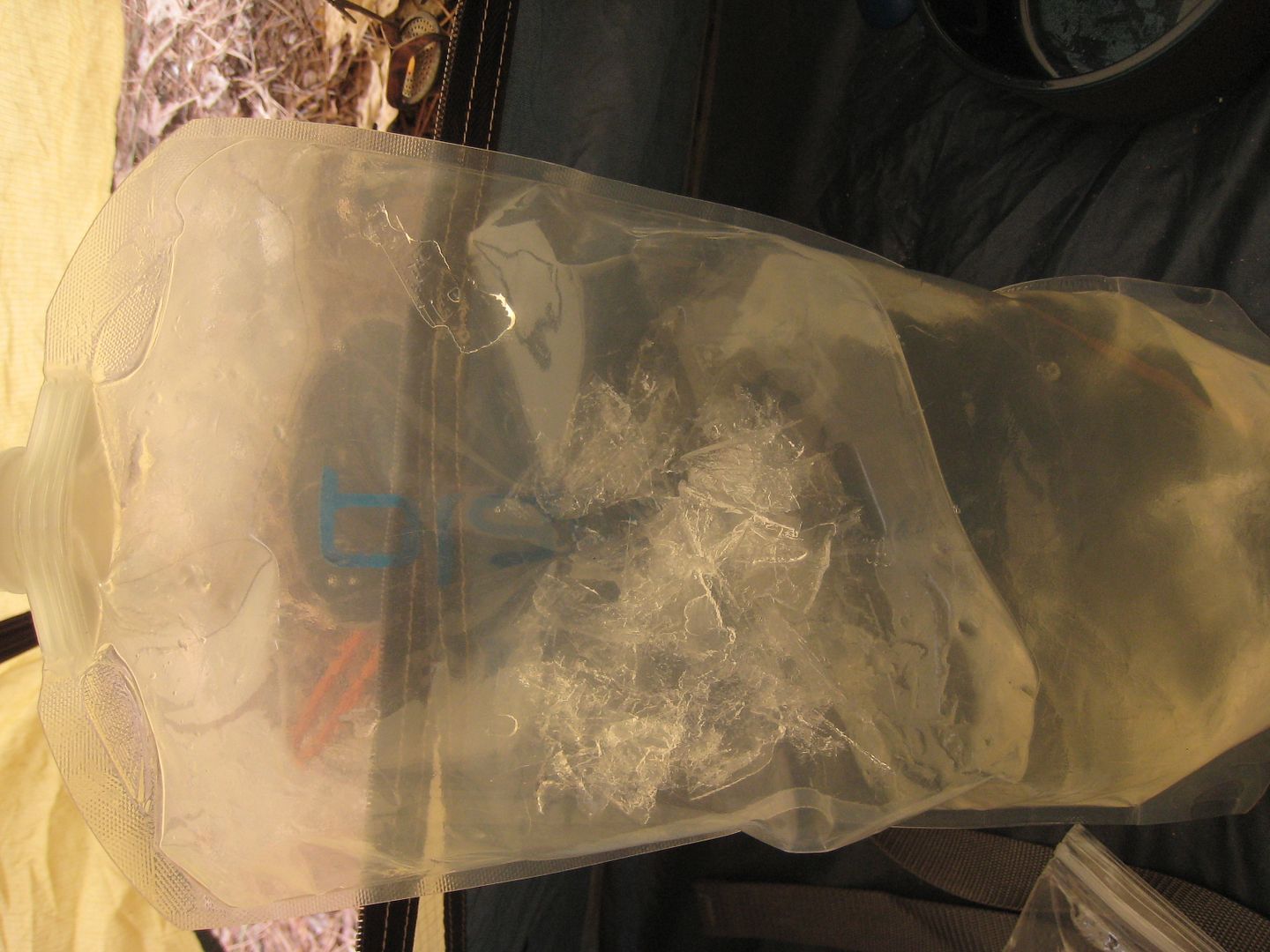
After listing to them for a while I fell back to sleep until 8am. I noticed a small problem when I started breakfast. I then knew how cold it was outside.
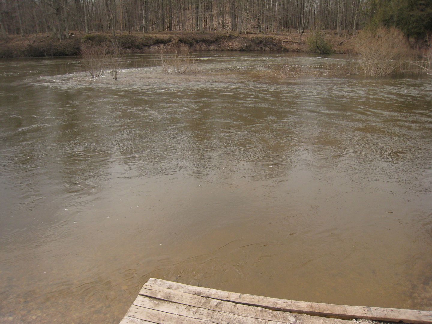
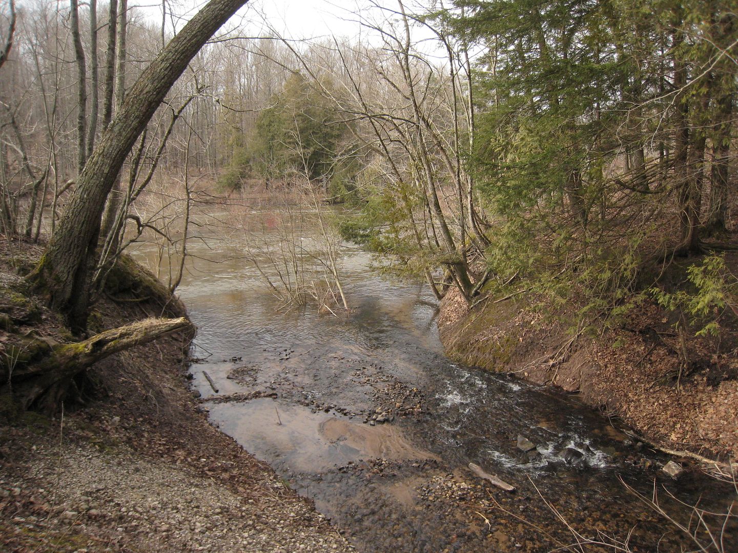
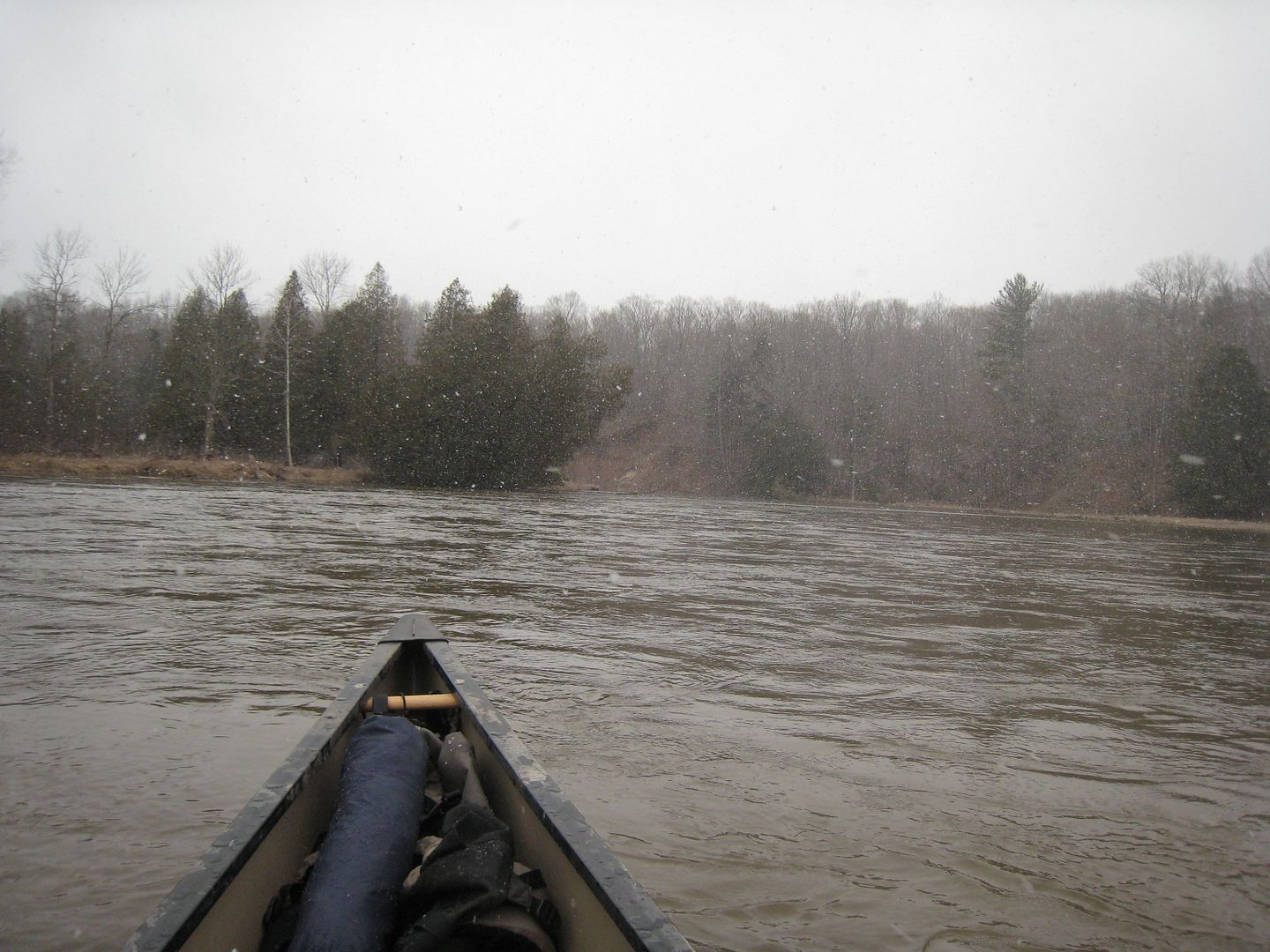
By 9am I am packed up and ready to go. Arrive to the launch spot by 9:30. The boat launch is flooded and water is cruising by pretty fast.
Lucky for me Woodpecker Creek has enough water to launch and is moving a little slower.
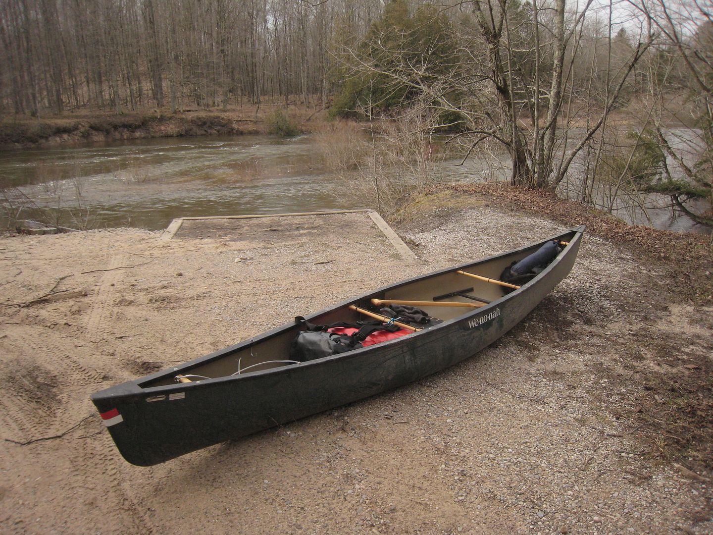
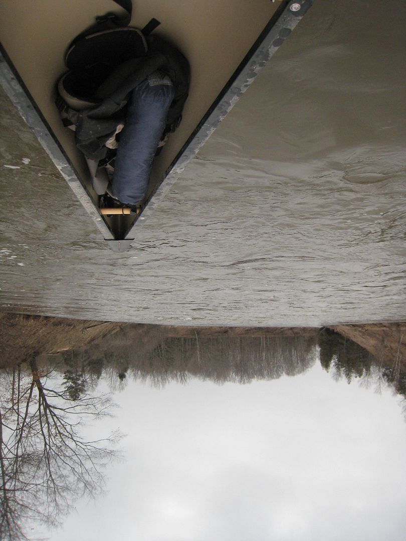
The Argosy loaded and ready for the water. Dirty from the ride up.
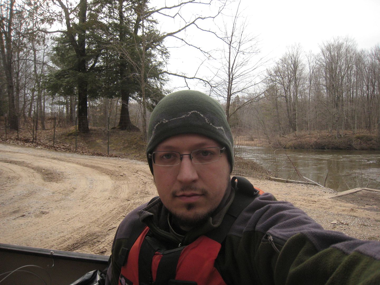
Me Ready to go.
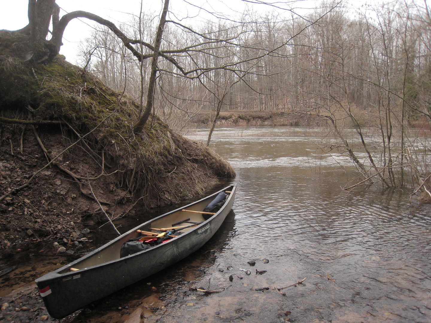
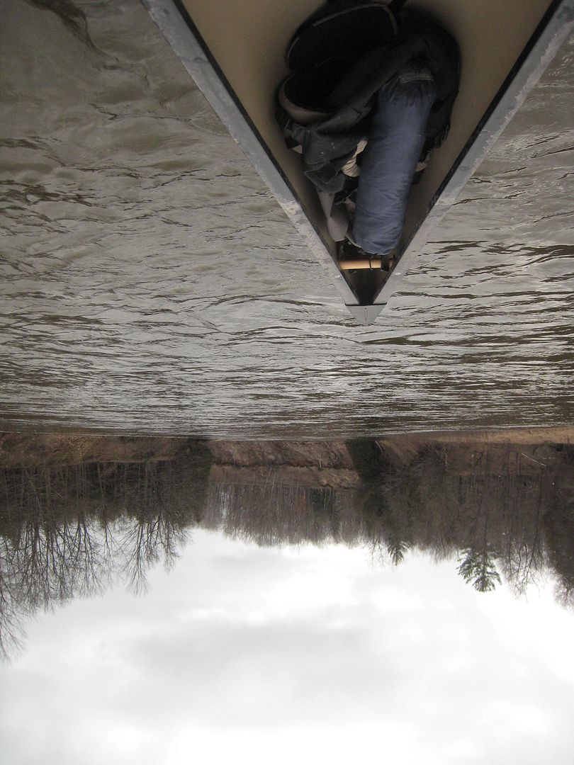
In the water ready to go.
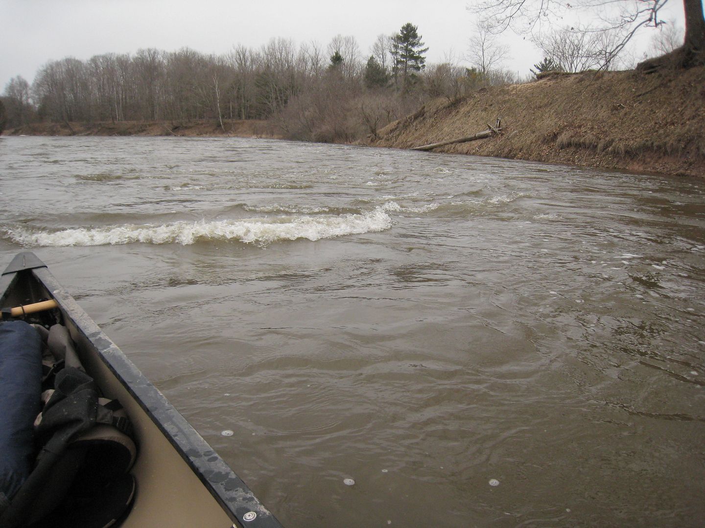
Small Rapids.
White lighting is still bright from last year.
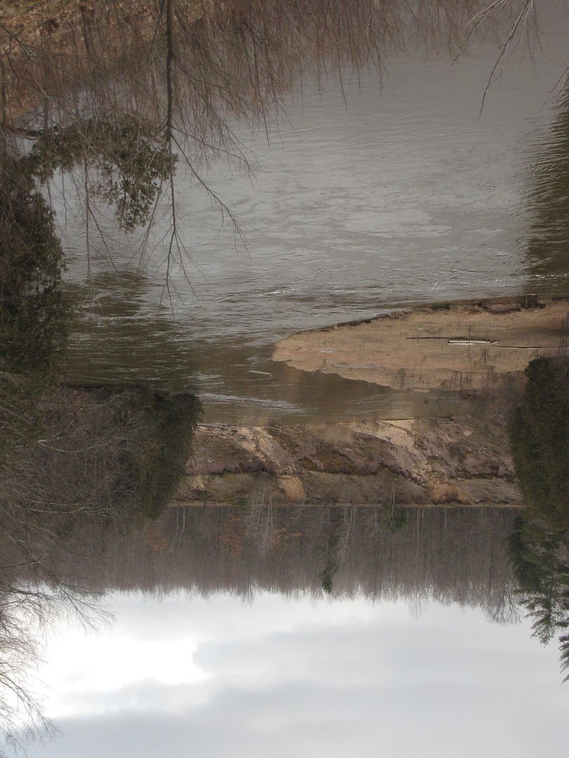
Unnamed creek I stopped at for lunch. The clam areas were begging to freeze up.
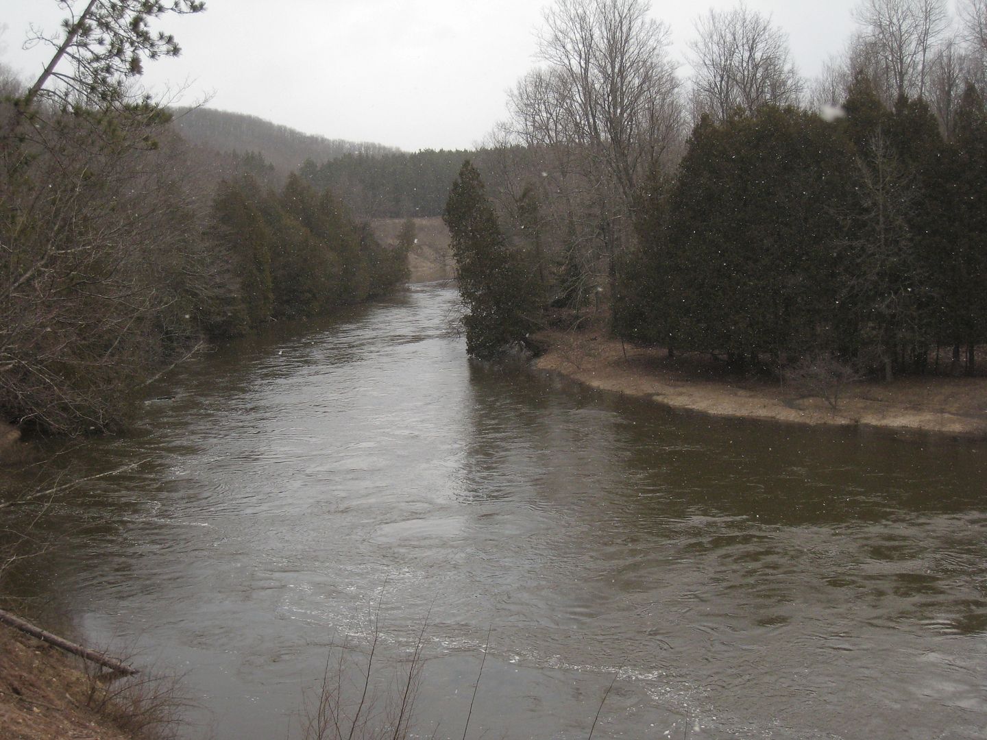
I was planning to camp along the river but it was flowing so fast I padded the entire stretch in less than two hours. Also the low was going to be colder. Compared to last year there was no traffic on the trail or river. I saw a single car parked at little Mac Bridge and two 15-passenger vans at Red bridge. Waved to two guys up on the trail around camp 7.
I must say that I was scared to do this trip for a couple of reasons. One, it was very cold even though this was not my coldest trip. Two, this was the most voluminous river I have ever canoed on. When I woke up I debated hiking back to my car instead of to my canoe. I kept telling myself take it slow and think before acting. I was scared to launch into such fast water and into the sweepers. The creek worked out good though. I stayed to the middle just outside the fast current as much as possible. All in all I did well. I saw lots of wildlife.
Kaine
Sorry about some of the crappy photos. Crappy weather + crappy lighting = crappy photos.
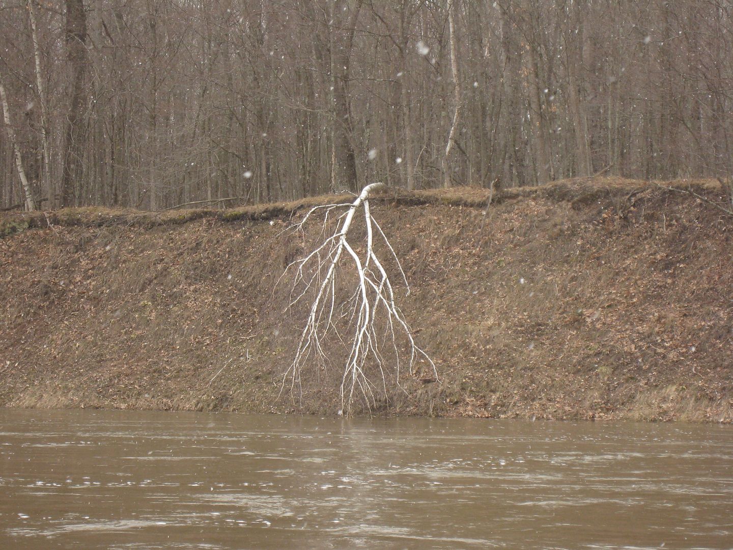
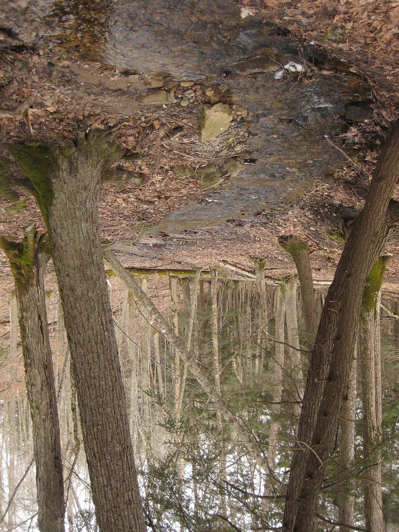
Misc Photos
April 19-20 2013
River Flow: 2670 CFS
Group Members- Just Me
This was a trip I have been putting of for almost a month due to weather. I decided that was no longer going to keep me home, so I packed my gear and prepared to go. I was looking for an early start to this trip so I left work early around 11am. After battling 45 MPH wind guest on the drive up, I arrived at Red Bridge around 3pm. Drove up a sometimes flooded, sometimes frozen Upper River Road to Woodpecker Creek Launch near Hodenply Dam and found a place to stash the canoe, dry bag, life jacket, paddles, and boots. Drove back down and hid my backpack in the woods around Sheep Ranch Road. Made back to the Red Bridge parking lot around 4pm. Fifteen minutes later I was dressed and ready to begin.
Me ready to go

With all the rain this past week every little valley was flowing with water.


Most people do not think of big hills and valleys in this part of Michigan, but they do exist here. I am glad that most of this area is National Forest.

Snow could still be found in the woods in many places.

Upper River Rd. The utility poles helped keep track of time and distance. Each pole was marked with a number.

I made good time hiking up the road and made it to my backpack in an hour and half. I decided to go further and hiked another mile before looking for a place to set up camp. I wanted a place close to the river with a southeast opening so if the sun did come out it would warm me in the morning. It had done everything from rain to sleet and snow on the ride up. Temp was 36 when I left my car and weather reports were saying a low around 20. I had found a place overlooking the river near Eddington Creek.


Dinner of Roman and Beef Jerky. Yes I cook inside my tent when it is too windy and cold to sit outside. I would only do this with my isobutene stove. Never with a liquid fuel stove.

I had noticed these on my way to set up camp and didn’t think anything of it. I soon found that this is an active turkey path, when the 6am gobbler came walking through and woke me up. Kind of hard to see but look hard for their foot prints.

After listing to them for a while I fell back to sleep until 8am. I noticed a small problem when I started breakfast. I then knew how cold it was outside.

By 9am I am packed up and ready to go. Arrive to the launch spot by 9:30. The boat launch is flooded and water is cruising by pretty fast.

Lucky for me Woodpecker Creek has enough water to launch and is moving a little slower.

The Argosy loaded and ready for the water. Dirty from the ride up.

Me Ready to go.

In the water ready to go.

Small Rapids.

White lighting is still bright from last year.

Unnamed creek I stopped at for lunch. The clam areas were begging to freeze up.

I was planning to camp along the river but it was flowing so fast I padded the entire stretch in less than two hours. Also the low was going to be colder. Compared to last year there was no traffic on the trail or river. I saw a single car parked at little Mac Bridge and two 15-passenger vans at Red bridge. Waved to two guys up on the trail around camp 7.
I must say that I was scared to do this trip for a couple of reasons. One, it was very cold even though this was not my coldest trip. Two, this was the most voluminous river I have ever canoed on. When I woke up I debated hiking back to my car instead of to my canoe. I kept telling myself take it slow and think before acting. I was scared to launch into such fast water and into the sweepers. The creek worked out good though. I stayed to the middle just outside the fast current as much as possible. All in all I did well. I saw lots of wildlife.
Kaine
Sorry about some of the crappy photos. Crappy weather + crappy lighting = crappy photos.
Misc Photos


Last edited: