• The 2026 Fund Drive is now ON. Read the Featured Thread for details. Please contribute.

The Tichegami Odyssey

Monday, July 27: Day 15
'Twas a beautiful day in the neighborhood when we woke on the Eastmain sandbar. The sun was shining, hardly a cloud in the sky, and not much wind. As we caffeinated and munched and changed and packed up, I took a moment to try to evaluate and consolidate some of the food bags. All things considered, we were doing pretty well. I ditched a yucky looking mandarin and decided the red peppers had to go, too. We didn't have much left for fresh foods - a pound or two of bacon, some butter, a dozen eggs, some onions, an apple or two and a handful of mandarins, and lots of cheese. I had brought supplies to make pizza over the fire one night - wasn't looking promising, but hope springs eternal.

It was so nice, I folded up my stinky wetsuit and shoved it under the strap of a pack to cook in the sun for the first time in two weeks.

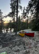
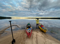
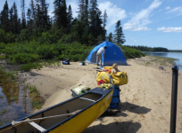
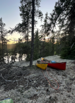
We shoved off at ... are you ready....??? 11:45 !!! ...and didn't have far to go before we had a decision to make to get to Lac Maree. Right up ahead a stream came in that we could follow ~30km up to Maree. Looking at the maps, it didn't seem to have much gradient, so we didn't think it would be too tough of an upstream paddle. Or, we could follow the Eastmain another 30kms, and then portage up a short falls into Maree. Talking last night, we had decided that if there was water in the first channel, it was probably the smarter route. And there was. In fact, as I broke off the Eastmain I was a bit surprised at the lack of current to fight in this un-named channel. And then, as we rounded the first bend and were confronted with a little riffle, I was dumbfounded to realize that the riffle was actually flowing in the direction we were paddling! This wasn't water coming out of Maree, but rather a side street of the Eastmain that actually created Maree. What a nice surprise! So our anticipated 30km of upstream travel became 30km of downstream - and if there wasn't any current for most of it, it beat paddling against the current, anyway. The first few kms were twisty and narrow and then it became wider and slack, with scenery that wasn't particularly exciting. Eventually we got to Lac Maree and found a tiny sandbar on the upstream end of an island to camp on about 8:30pm. There was just enough room for the Pod and my tent. As we prepped our MIAB suppers later, I poured a cocktail, and took note that I was wringing the last drops from the handle of Beefeater.
1792987330279.png

We'd come 180kms over 2 weeks on 4 handles (Burnett's cheap-o gin, Beefeaters, Bullet Rye, and Johnny Walker) Now we had ~110kms to go and I only had ONE handle of Johnny Walker left... That was worth an In-reach message to Tom and Carl - the only place I would find sympathy on that score. Ben, of course, was more than prepared to share his stash, but I've a bad track record there and wasn't going to re-live it until the demons came out. So we will pour small and sip from here. Ye gods...

32 kms today - a trip best so far.
1792987525517.png


Tuesday, July 28: Day 16
Another pretty day. On the water a moment past noon and heading southwest down to Maree's top end and other source - a small creek coming from the height of land that divides the Eastmain watershed from the Rupert watershed. As we reached the end of the lake we would have another route choice to make - follow Moe Baxter's described route, which was more southerly, less direct, and longer; or follow the shortest line between two points route that Sam Brakeley had confirmed and which started out with a 4km creek drag/paddle. From what we could deduce, it seemed Moe had had very low water - we certainly did not. If there was water in the creek, we would go Sam's route.

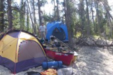
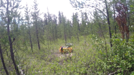
And there was! The creek had an obvious deep channel and it wasn't tough to follow it. Lots of tight turns, some drag-over blow-downs, some saw work, some wading - but we covered the 4km creek section in 2 hours. Then, really just by luck, when the creek got so shallow we had to get out and pull the boats behind us, there was an open space along the bank, and some quick recon established this was the head of the portage "trail" (here, actually, for the first time on this trip we found signs of humans - we could see distinct footprints sunk in the moss from some trip some years prior.) More work with saw and loppers and we had ourselves a staging ground, and then it was straight up a steep hill about 75 yards to a fairly open summit covered in caribou moss. By 8:30 we had all the gear and boats to the top of the hill and set up the Pod. Probably the nicest campsite of the trip!! We even saw some stars! Had we a bit more energy, would've made a decent croquet ground. But it was snacks and sips and smokes and MIAB and sips and smokes and bed. 20kms today - not bad given the creek and the port. More guelling tasks tomorrow.
1792987428247.png
 
Wednesday, July 29 (Day 17) :

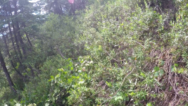
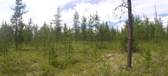
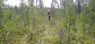
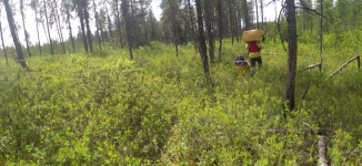
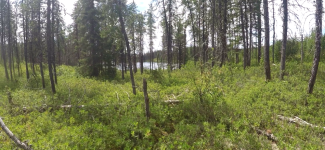
It was another lovely day of clear skies and warm temps, just after noon we slid our loaded boats down the hill to the pond. This pond appears to be land locked and could be considered the center point of the height of land portage. We paddled 130m across the pond and found a very rough and overgrown trail going up the hill. At the top of the hill it flattens out and was an easy carry through mostly jack pines. There were quite a few blueberry bushes here with the first ripe berries to sample (peak season is usually mid-August in this area). After moving all of our gear up the hill Christian went off to scout the descending part of the route. He found a reasonable trail which may have connected to last nights camp and would have been a longer but almost all flat route that avoids the pond crossing. The trail to the next pond is a gentle slope downhill with the usual undergrowth more significant growth as one nears the put-in area. This portage was a little less than 1km long and took 2 hours to complete.

P1070797.jpg

1793919959515.jpeg

1793919990979.jpeg

1793919936446.jpeg

1793920100352.png

1793920183212.png

1793920206718.png

1793920264585.png

1793920280863.png

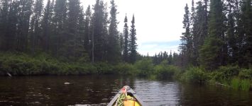
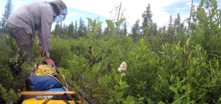
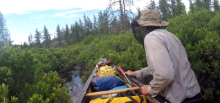
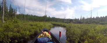
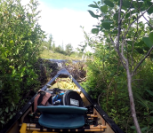
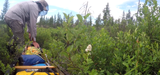
The next section of "river" is actual a series of small lakes with short overgrown connecting creeks. Each creek starts with a beaver dam (or two) followed by dense alders, no way to paddle here but dragging through was possible with a little snipping along the way. We then came to a longer creek (350m) with multiple beaver dams, this took about half an hour to complete.

1793920331728.png

1793920347918.png

1793920377103.png

1793920401064.png

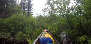
We were able to paddle about 400m to the next creek drag, this one was about 1.4km in length and took 1.5 hours to complete. There were parts that we could paddle/pole through and other parts where dragging and a bit of clearing of deadfall was necessary. Given the narrow channel and the sharp turns I had the advantage of a more narrow and shorter boat. Maneuvering Christians big tandem caused some difficulties and in one case it became solidly locked at a narrow point followed by a sharp turn. I had to laugh as Christian struggled to move his overloaded 17 foot canoe while I was able to get through the same spot with just a couple of shoves.

1793920471167.png

1793920487627.png

1793920521765.png

1793920545212.png

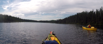
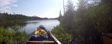
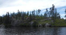
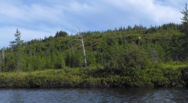
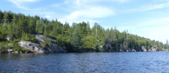
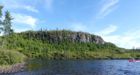
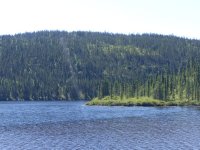
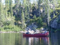
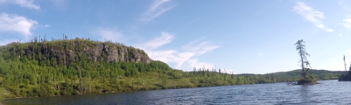
Eventually we emerged from the creek into open water accompanied by a change in the scenery, there were now rocky cliffs and hills with every shade of green on vivid display. In this 9.3km stretch there was little in the way of camping, the shorelines were very steep. We briefly stopped to check a very narrow beach, while we might have been able to fit in the Pod we decided to continue on to given that we had a couple of hours until sunset and we needed to cover as much distance as possible (we were now one day past our original exit date).

1793920574512.png

During this long flatwater section I decided to swap my paddles, the Werner Bandit (carbon) substituted my Redtail Ottertail (wood). On river trips I rarely use the Redtail, I like the flex but it always feels like I could snap it doing something stupid like "poling" over a gravel bar or pushing off big rocks. There are times when my arms are sore that I'll do this switch, this was definitely the appropriate time. I noticed a few things, I was tracking better and I was able to keep up with Christian, maybe better to say "not falling way behind as usual", he seemed to be impressed with my increased speed!

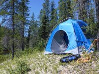
We continued on for a a couple of hours, the sun was disappearing and the desperation for a camp increased. We finally found a poor but usable spot of moss, lumpy and not very flat it would have to do. By the time we had unloaded it was time for headlamps for setup, It was not our worst camp but it was not one anyone would pick if there were any other options available.

1793920670408.jpeg

1793920685017.jpeg

1793920702390.jpeg

1793920721865.jpeg

1793920759286.jpeg

1793920623491.png

After a long day we didn't have much energy to make a "proper" meal and instead settled for a snacking dinner of cheese and crackers with some sausages on the side.

1793920820135.jpeg
 

Attachments

  • 1793920594344.png
    1793920594344.png
    388.1 KB · Views: 5
  • 1793920448426.png
    1793920448426.png
    889.4 KB · Views: 4
  • P1070797.jpg
    P1070797.jpg
    186.8 KB · Views: 5
  • 1793920070646.png
    1793920070646.png
    1.1 MB · Views: 5
I had to laugh as Christian struggled to move his overloaded 17 foot canoe while I was able to get through the same spot with just a couple of shoves.
Overloaded...? On day 17...? I think not.
The beam on the Moisie is about an inch wider than the beam on the XL - that inch was one too many for that particular spot.
 
Thursday, July 30 (Day 18):
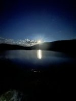
Our camp, as lumpy and uncomfortable as it was, had a great view of the full moon's rise last night and a beautiful day greeted us in the morning. We were off at noon and had high hopes of potentially knocking out the ~40kms we had left to get to the Rupert River Reservoir. If we could do that, and then knock out the ~40km of reservoir to get to the take out on Friday, we could conceivably be back in our beds at home on Sunday night (and back to work on Monday). That was the worst-case schedule I had promised. (Spoiler-alert: foiled again...) To complicate matters, Tom (eye-in-the-sky paddling buddy) and Amy (wife getting frustrated with another over-long trip) were both monitoring a significant impending storm system working its way towards us - we didn't really want to add an additional weather-bound layover day and get even further behind.

P1070820.JPG

So with a warm sun in a cloudless sky and joy in our hearts we set off and knocked out the 5kms to the first obstacle in about 45 minutes. The obstacle was an island the creek split around, and on either side the channels were blocked with boulders no canoe could pass between. It took a minute to find the portage "path" - but eventually the vestiges of past human traffic revealed themselves. The first half was a relatively straight forward carry to the top of the island's hill, but the downhill portion was steep and strewn with rock formations that were difficult to negotiate. Two and half hours later we had managed it, but we were both feeling pretty sapped of strength.

1794286711517.png

P1070833.JPG

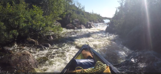
Another hour of flats was followed by a km of what Moe Baxter had described as a "congested creek." I had been expecting an alder-choked section, but it turned out to be a steep, creeky section that was only kinda runnable because of all the rain we'd had. We got through this the best we could - running the drops that had enough water, lining, wading, etc. It took us an hour and half to get through in this way, but I'll note for future paddlers, that there was a flagged portage trail that ran all the way down on river left.

1794286437672.png

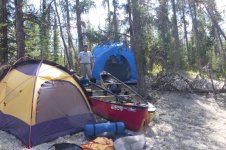
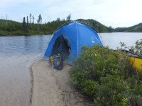
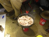
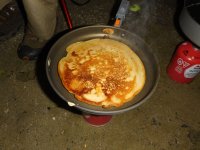
This section was followed by a gorgeous oxbow that had a fair bit of current and very pretty scenery. Included were several nice beach spots for camping, but we were trying to make tracks, and we pushed downstream until after 8:30pm, only managing about half the distance we had wanted to cover. We fetched up on a tiny spit of sand, literally, just big enough for the pod, and I set up my tent back in the brush a short ways. Made pancakes and a pound of bacon for supper.

P1070842.JPG

P1070837.JPG

P1070841.JPG

What was left of the Johnny Walker made a pitiful sight, and now I needed to stretch it further...
 

Attachments

  • IMG_4758.jpeg
    IMG_4758.jpeg
    35.6 KB · Views: 5
Back
Top Bottom