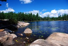
I have been trying for a while now to travel from Sand Lake to Clockmill by canoe.
This past Saturday, my son Josh and I nearly made it, save for a navigational error that was not entirely my fault.
We started at a campsite along Powley - Piseco Rd, in the Ferris Lakes wild forest area. We carried a half mile to Sand Lake. Josh paddled MDB's Swift Pack 12, and I paddled my freshly painted Kite. Josh, being much more of a gentleman than I ever was, graciously offered to carry my Kite, the heavier of the two boats. Of course, he is half my age and twice my strength!
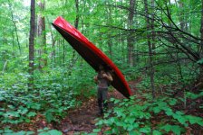
The trail had quite a bit of blowdown and could use a little work.
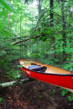
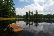
The weather was misty and very humid, with a low cloud ceiling. We headed across Sand Lake towards the inlet.
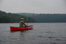
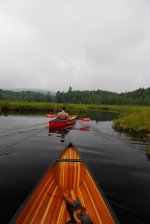
We worked our way up the inlet for a total of about 3.5 miles...searching in vain for the channel that leads to Clockmill Pond.
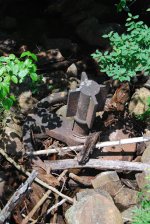
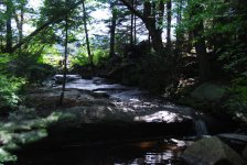
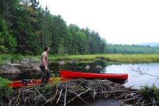
Along the way, we carried around two rock dams, lifted over 10 beaver dams, and scooted over 3 beaver drags and several deadfalls.
It was a nice, secluded paddle.
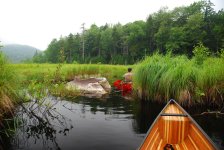
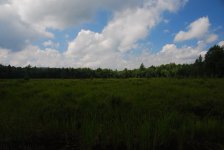
Ultimately, we followed my printed map, and the GPS map, to this channel...if you look close enough, uhmmm, nevermind, just know that Josh is really in there, about 50 yards in.
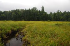
And that was it! We couldn't float on mud and vegetation, nor could we walk through that marsh, we were sinking up to our hips in spots.
Later, when we got home, I realized that we took a wrong turn at the 2nd rock dam...foolishly following the maps. What I didn't know was that a navigable channel did exist, just not where it is depicted on every map ever published!
Any satellite image shows the channel clearly, if only I had looked before starting out!
So we retraced our route back to the car, still a nice day of paddling with my favorite son.
Oh, and at the very last (on our return trip) beaver dam, Josh was standing on it, lowering his mom's boat carefully over the edge, when WHOOSH, a big chunk of the dam washed out! He had to quickly move that Swift, lest it be swamped. As quickly as I could realize what was going on, another WHOOSH, and I was suddenly standing 18 inches lower! The part of the dam where I was patiently waiting also washed away. Sorry, little beavers, you've got some repair work to do.
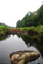
Here's that dam on the upstream trip.
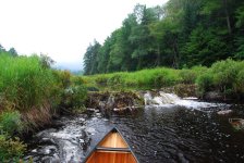
And here it is again, in need of repair!
This past Saturday, my son Josh and I nearly made it, save for a navigational error that was not entirely my fault.
We started at a campsite along Powley - Piseco Rd, in the Ferris Lakes wild forest area. We carried a half mile to Sand Lake. Josh paddled MDB's Swift Pack 12, and I paddled my freshly painted Kite. Josh, being much more of a gentleman than I ever was, graciously offered to carry my Kite, the heavier of the two boats. Of course, he is half my age and twice my strength!

The trail had quite a bit of blowdown and could use a little work.

The weather was misty and very humid, with a low cloud ceiling. We headed across Sand Lake towards the inlet.

We worked our way up the inlet for a total of about 3.5 miles...searching in vain for the channel that leads to Clockmill Pond.
Along the way, we carried around two rock dams, lifted over 10 beaver dams, and scooted over 3 beaver drags and several deadfalls.
It was a nice, secluded paddle.


Ultimately, we followed my printed map, and the GPS map, to this channel...if you look close enough, uhmmm, nevermind, just know that Josh is really in there, about 50 yards in.

And that was it! We couldn't float on mud and vegetation, nor could we walk through that marsh, we were sinking up to our hips in spots.
Later, when we got home, I realized that we took a wrong turn at the 2nd rock dam...foolishly following the maps. What I didn't know was that a navigable channel did exist, just not where it is depicted on every map ever published!
Any satellite image shows the channel clearly, if only I had looked before starting out!
So we retraced our route back to the car, still a nice day of paddling with my favorite son.
Oh, and at the very last (on our return trip) beaver dam, Josh was standing on it, lowering his mom's boat carefully over the edge, when WHOOSH, a big chunk of the dam washed out! He had to quickly move that Swift, lest it be swamped. As quickly as I could realize what was going on, another WHOOSH, and I was suddenly standing 18 inches lower! The part of the dam where I was patiently waiting also washed away. Sorry, little beavers, you've got some repair work to do.
Here's that dam on the upstream trip.

And here it is again, in need of repair!


