Potomac River Day Trip: Hancock to McCoy’s Ferry
June 2, 2025
Paddled the Rendezvous
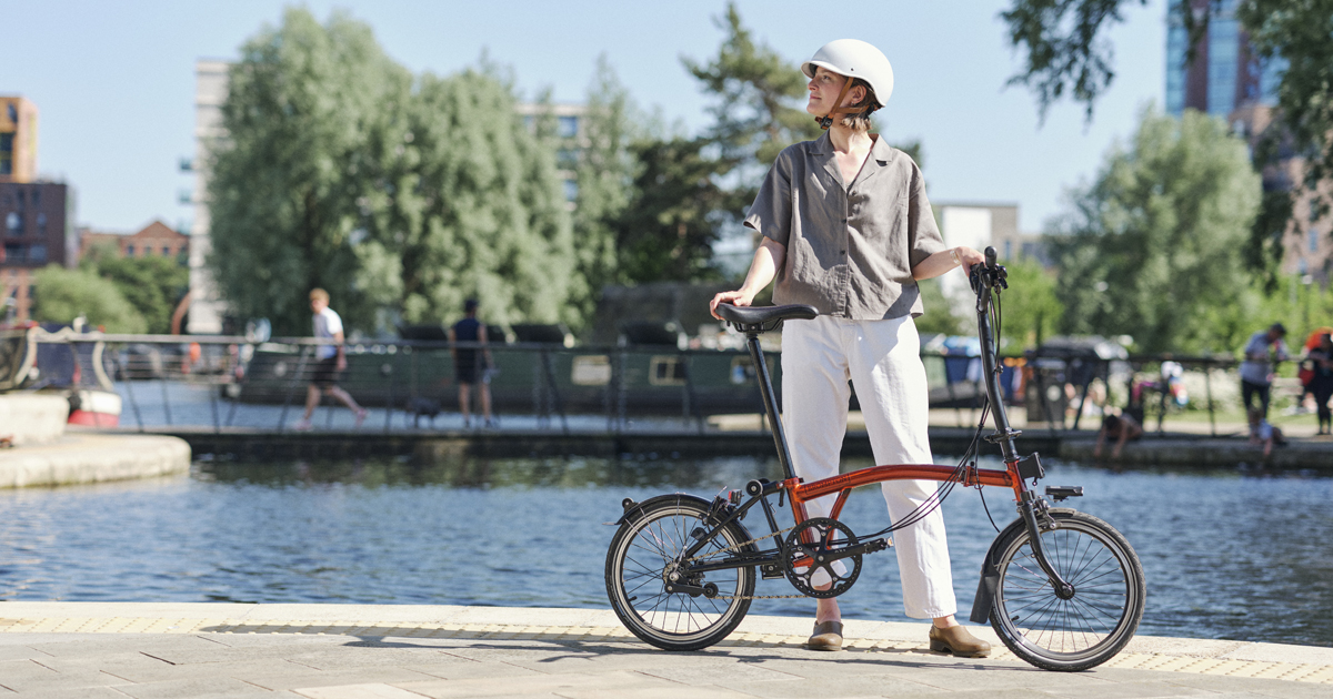
I stopped on the way from the Western Pennsylvania Solo Canoe Rendezvous to continue my fill-in-the-gaps trips on the Potomac—paddling stretches of the river between the stretches I have paddled. A big advantage for solo trippers is that this section of the river is lined by the C&O Canal National Historic Park, which provides a great route for bicycle shuttling, which was my plan for the day.
The same rains that bedeviled the WPASCR had pumped up the Potomac water level and the current was very fast when I launched about 10am.The Hancock gage was at 10.3, the guidebook says it is runnable down to 2.5 or less. The river was in the trees and I was a little worried that there wasn’t much of an eddy at the take out, so I was nervous that I wouldn’t be able to stick the landing.
The weather was ideal for paddling. Sunny, about 68 - 70 degrees (F), and only a light breeze. What a nice change from the cool, windy, cloudy weather we had at Coopers “Lake.”
The Potomac is a big, wide river by the time it passes Hancock. The scenery is fair, mostly forest. I was surprised how loud the noise from I-70 was on the river. The interstate is one- to two-hundred yards from the river’s edge for the first half of this trip. Guidebook author Ed Gertler wrote that it sounds like you are paddling in the median strip, and I had to agree. Oddly, it’s markedly quieter riding the towpath than on the river. The towpath is located about halfway between river’s edge and the highway, but the acoustic situation is such that it is queiter on the towpath than on the river.

The river carried me along at 3 - 4 mph, faster in narrower spots. I was often paddling at 5 - 6 miles an hour without trying very hard I was making great progress so I paddled up into some of the tribs. Obviously, at high water, I needed to stay away from overhanging trees and flooded islands. The only spot I think I could have gotten in trouble was coming out of Licking Creek. There was a narrow channel heading off downriver where I exited the Creek, just the kind of side channel in which I love to poke around. But not with the speed of the current on this day. I thought there would be high odds of running into a timber blockage. My map showed and island, but there was just fast water flushing through trees and brush. It wasn’t hard to avoid all that and get back to the main river.
Aqueduct at Tonoloway Creek

At Licking Creek, I was scared to take the side channel.

After 3 hours I reached McCoys Ferry Landing and got into the eddy just upriver from the ramp. I eased the boat down to where the ramp was and fortunately found enough traction on the ramp to hop out, painter in hand, and then reel the boat in as the current quickly tried to take it downriver. This was a 15-mile stretch, so I had averaged 5mph at a very relaxed pace.
It was about 15 miles on the towpath back to Hancock.

River view from the towpath

June 2, 2025
Paddled the Rendezvous
I stopped on the way from the Western Pennsylvania Solo Canoe Rendezvous to continue my fill-in-the-gaps trips on the Potomac—paddling stretches of the river between the stretches I have paddled. A big advantage for solo trippers is that this section of the river is lined by the C&O Canal National Historic Park, which provides a great route for bicycle shuttling, which was my plan for the day.
The same rains that bedeviled the WPASCR had pumped up the Potomac water level and the current was very fast when I launched about 10am.The Hancock gage was at 10.3, the guidebook says it is runnable down to 2.5 or less. The river was in the trees and I was a little worried that there wasn’t much of an eddy at the take out, so I was nervous that I wouldn’t be able to stick the landing.
The weather was ideal for paddling. Sunny, about 68 - 70 degrees (F), and only a light breeze. What a nice change from the cool, windy, cloudy weather we had at Coopers “Lake.”
The Potomac is a big, wide river by the time it passes Hancock. The scenery is fair, mostly forest. I was surprised how loud the noise from I-70 was on the river. The interstate is one- to two-hundred yards from the river’s edge for the first half of this trip. Guidebook author Ed Gertler wrote that it sounds like you are paddling in the median strip, and I had to agree. Oddly, it’s markedly quieter riding the towpath than on the river. The towpath is located about halfway between river’s edge and the highway, but the acoustic situation is such that it is queiter on the towpath than on the river.
The river carried me along at 3 - 4 mph, faster in narrower spots. I was often paddling at 5 - 6 miles an hour without trying very hard I was making great progress so I paddled up into some of the tribs. Obviously, at high water, I needed to stay away from overhanging trees and flooded islands. The only spot I think I could have gotten in trouble was coming out of Licking Creek. There was a narrow channel heading off downriver where I exited the Creek, just the kind of side channel in which I love to poke around. But not with the speed of the current on this day. I thought there would be high odds of running into a timber blockage. My map showed and island, but there was just fast water flushing through trees and brush. It wasn’t hard to avoid all that and get back to the main river.
Aqueduct at Tonoloway Creek
At Licking Creek, I was scared to take the side channel.
After 3 hours I reached McCoys Ferry Landing and got into the eddy just upriver from the ramp. I eased the boat down to where the ramp was and fortunately found enough traction on the ramp to hop out, painter in hand, and then reel the boat in as the current quickly tried to take it downriver. This was a 15-mile stretch, so I had averaged 5mph at a very relaxed pace.
It was about 15 miles on the towpath back to Hancock.
River view from the towpath