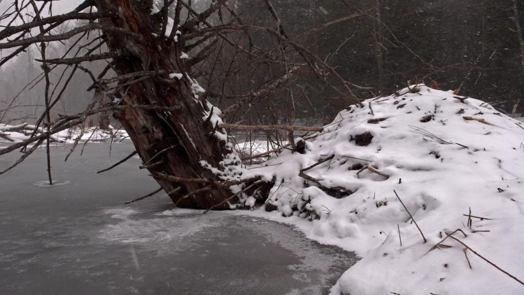
Small world. My map of the Mon goes only 100 yds from the mouth, but the area I passed thru on the way, farms and woods, suggested something good for the rest.
In the early 2000s I paddled the Potomac between Georgetown(Wash, DC) and Seneca Creek, which lies about 20 miles upstream. On the MD side that's all C&O Canal National Historic Park. On the VA side its a mix of state park and large private holdings. In any case both sides are woods just about all the way. You might get a peak at the roof of an old Kennedy residence or Ted Koppel's house or the Saudi ambassador's compound, but there's not much more.
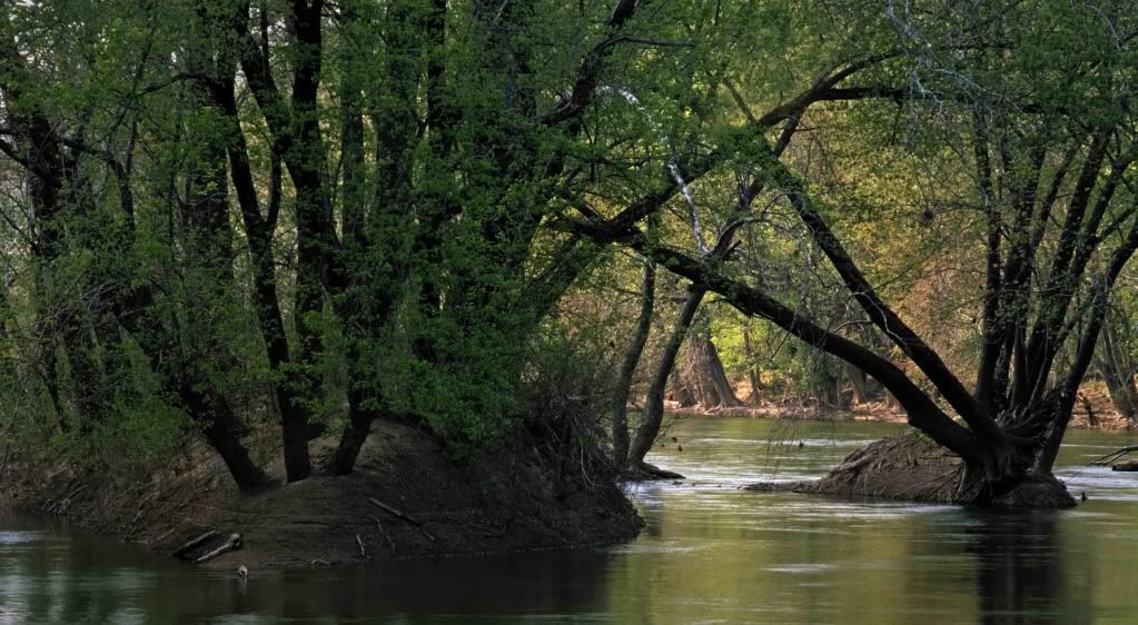
Lots of wooded islands big and small break up the route. Many secluded channels wind among them.
The river here is falling thru a deep, narrow gorge as it leaves the piedmont for the lower coastal plain. Serious rock formations wall the passage in some areas, and very mature woods cover a lot of the narrow bottoms.
When the water is low and clear the underwater topography of sand and rock is dramatically contoured and it it's hard to avoid gawking.
It's all very pretty, historic as it gets, and there's usually little or no boat traffic except at the WW of Great Falls and adjacent Mather Gorge.
From Seneca Creek up to the Mon is a ways. I've covered a good part of it on foot and by mtn bike. Seems to be mostly woods and farms. Looked like fun.
You are right, there's a lot up that way to explore. And it's accessible, and even though that section of the P is quiet water and the bass fishing is famous, I don't remember seeing many or any big, bad boats tearing the place up. I did my exploring on week days, so I don't know about weekends.
"Eat some ham...." Nobody around here can translate that one. ????