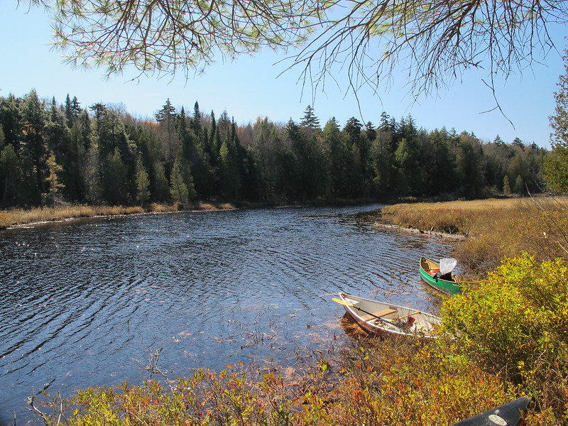
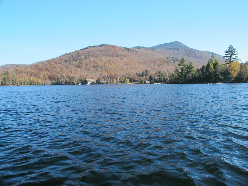
Went on a group trip to Blue Mountain Lake. We parked on Route 28 and put in at the public launch that's clearly marked.
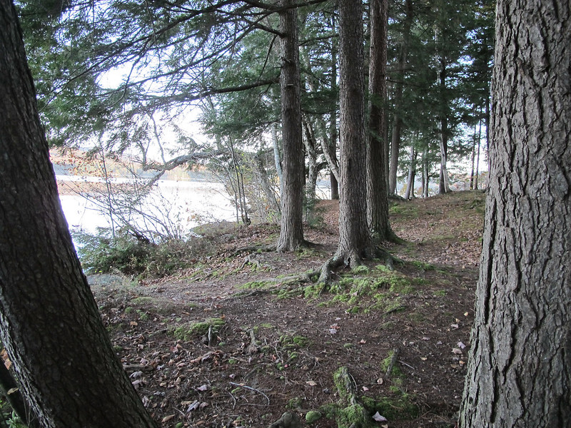
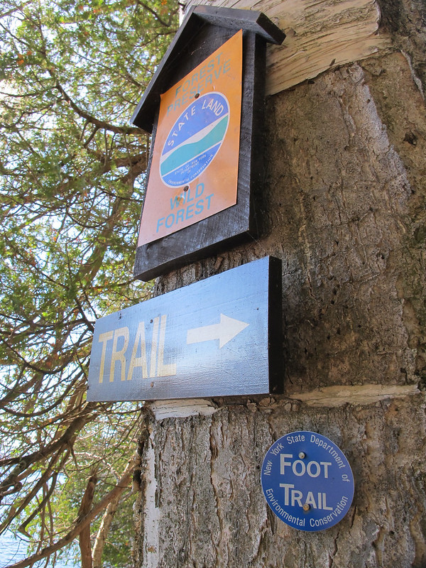
From there we paddled North West between Long Island and Osprey Island and then heading West past Bluff Point to the trail leading to Castle Rock. Once at the trailhead I beached the canoe and climbed the mile long trail to Castle Rock itself. It's fairly steep and not the best marked but if you take your time and look for the trail markers you will figure it out.
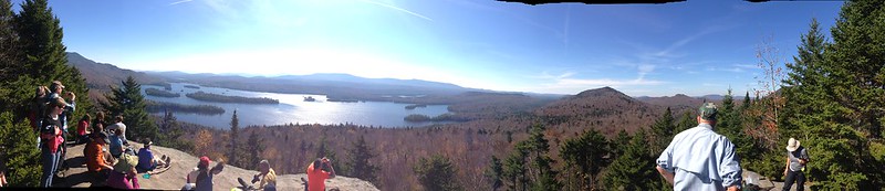
I'm really not a big hiker and can honestly say I was wondering if the hike was actually worth it when nearing the top. They view completely rewarded me for the effort. It was nice to sit and eat lunch while taking in the view. I wished I had brought more photography gear while snapping some photos and using the iPhone for panoramic shots.
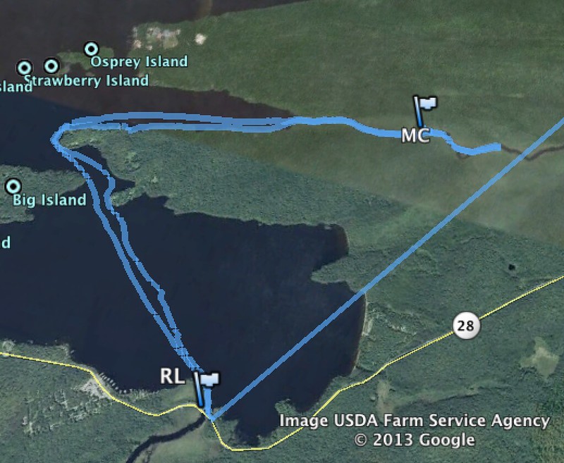
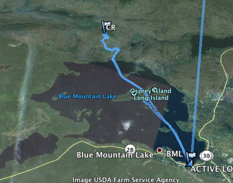
The route we took was about a four mile paddle (round trip) and a two mile hike (round trip).
I did have a map and GPS but still found the view from the canoe a little confusing as it was difficult for me to detect what was an island and what was the shoreline behind it. I hope that's a skill that I can improve upon with some experience.
Some photos:
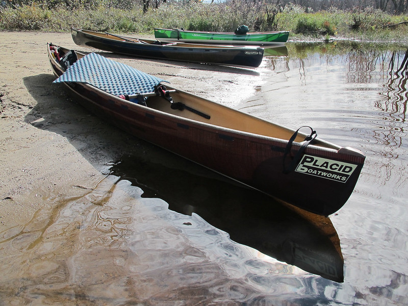
BML_CR by Hansen.Dougie, on Flickr
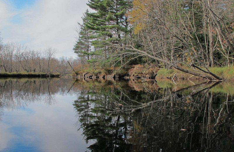
AMC FF 2013-54.jpg by Hansen.Dougie, on Flickr
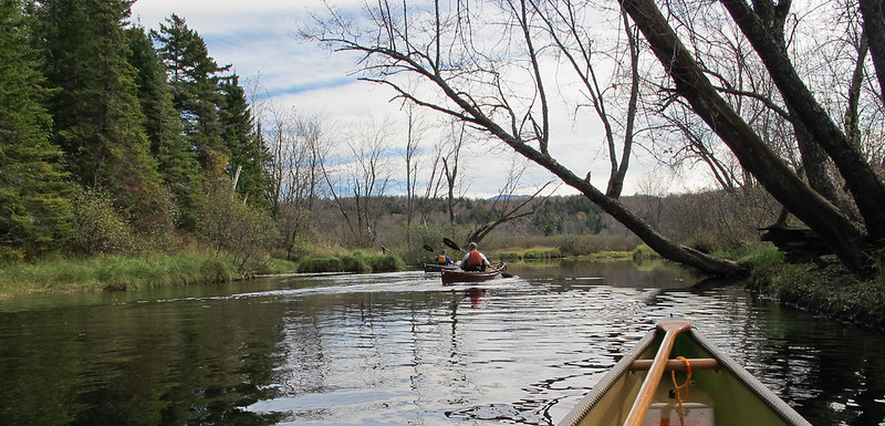
AMC FF 2013-16.jpg by Hansen.Dougie, on Flickr
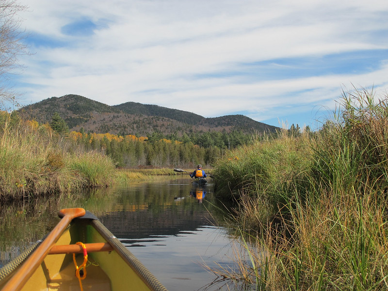
Untitled by Hansen.Dougie, on Flickr
It was a nice little trip and I'd do it again.
From there we paddled North West between Long Island and Osprey Island and then heading West past Bluff Point to the trail leading to Castle Rock. Once at the trailhead I beached the canoe and climbed the mile long trail to Castle Rock itself. It's fairly steep and not the best marked but if you take your time and look for the trail markers you will figure it out.
I'm really not a big hiker and can honestly say I was wondering if the hike was actually worth it when nearing the top. They view completely rewarded me for the effort. It was nice to sit and eat lunch while taking in the view. I wished I had brought more photography gear while snapping some photos and using the iPhone for panoramic shots.
The route we took was about a four mile paddle (round trip) and a two mile hike (round trip).
I did have a map and GPS but still found the view from the canoe a little confusing as it was difficult for me to detect what was an island and what was the shoreline behind it. I hope that's a skill that I can improve upon with some experience.
Some photos:
BML_CR by Hansen.Dougie, on Flickr
AMC FF 2013-54.jpg by Hansen.Dougie, on Flickr
AMC FF 2013-16.jpg by Hansen.Dougie, on Flickr
Untitled by Hansen.Dougie, on Flickr
It was a nice little trip and I'd do it again.