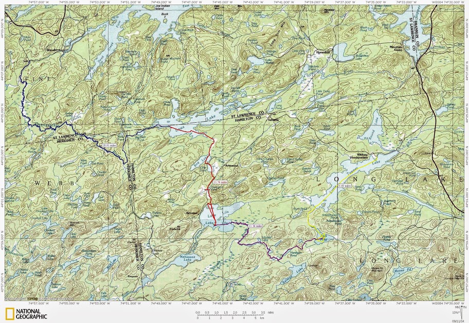
I didn'’t get a chance to do a solo trip last September so this year I wanted to do something special. All summer I mulled over what I should do. Conk’s exploits drew me back towards the 5 Ponds Wilderness, but in the end I ended up crossing off an item on the existing list – Making my way from Little Tupper Lake and ending up at Inlet in Wanakena.
Sunday morning found Judi and I in our cars speeding northwestward 2 hours to drop off my car at Inlet, then coming back an hour to launch at Little Tupper. I talked to the forest ranger before setting off and he helpfully noted they had rerouted the exit from Rock Pond (thank goodness), the take out from Hardigan Pond was still messy and some other details about where there were and weren'’t trail markers. I did the trip from Little Tupper to Lake Lila in 2006, so I was familiar with that section, We also had spent a week on Lows’s Lake last year and had explored it quite a bit including paddling Big Deer Pond, but everything else on the trip was new to me.
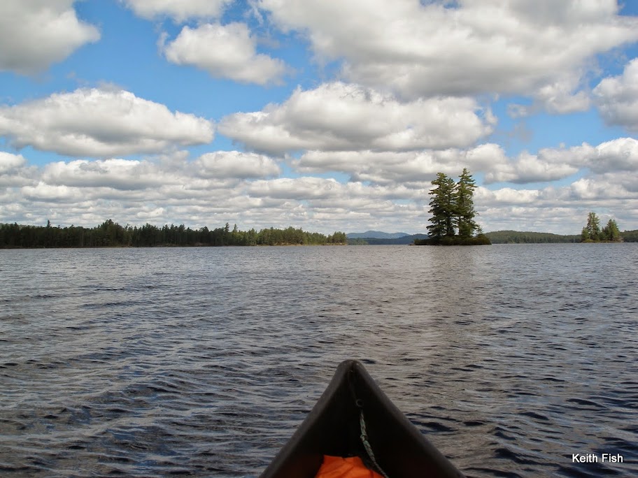
I shove off 12:30 and head up into the steady afternoon winds that Little Tupper (and the three next lakes I will paddle) is known for.
It’s a beautiful day and I really like the way the New Trick handles with a load. Speaking of loads, my pack weighed in at 50# for a total carry with the boat and paddle of 65#. To round things out, I weigh in at around 165 and for trimming the boat I tossed my food bag and daypack in the bow. This seemed to work well and didn'’t necessitate much repacking for the carries.
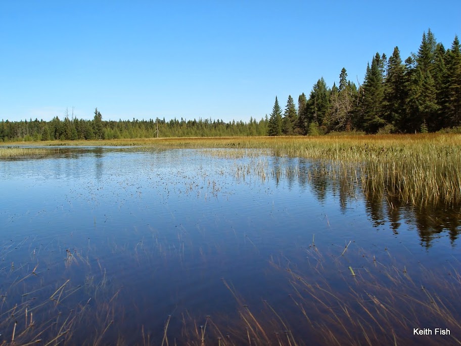
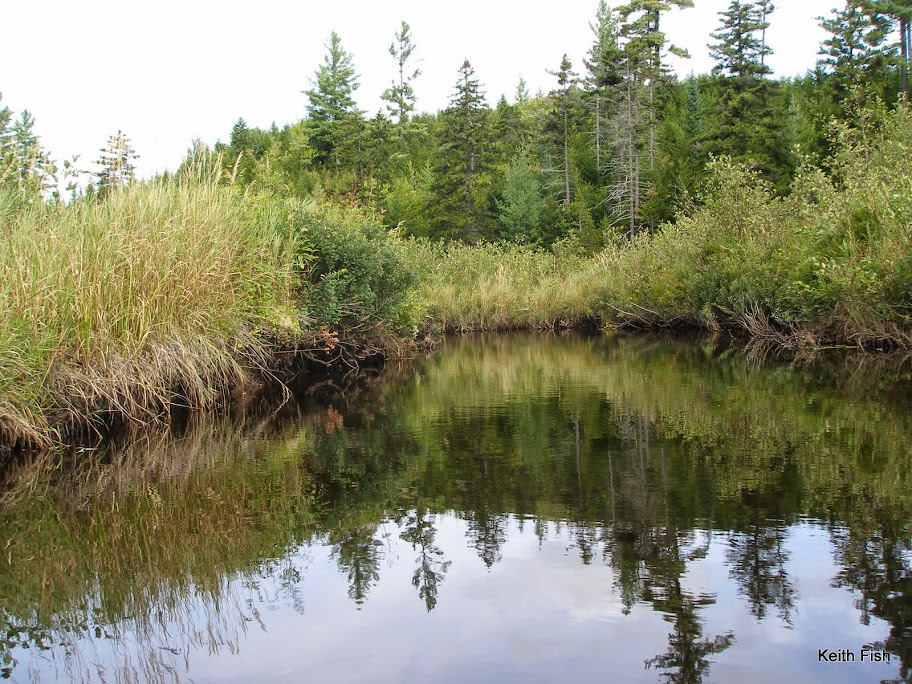
I made my way up the outlet of Rock Pond and over a couple of beaver dams just big enough to make you get out of the boat, but with nothing substantial to stand on.
I can’t pass this spot without taking a moment and thinking of Willis, the originator of this forum, and meeting him in passing a few years back at this location.
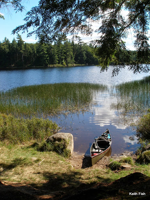
Other than a couple of visiting fishermen from Little Tupper, Rock Pond was empty and I make the island campsite my home for the night.
I am glad I wasn'’t on the pond when the last residents of the site were there. As I walked up the path from the boat, I first encounter the plastic wad from a shot gun shell. As I look around the site I see a tree used for target practice and indeed find a well perforated paper target in the fireplace where there’s another shotgun wad. When I go to look at the target tree I notice another small pine behind it with a slug trench through the side of it. Standing in the site and looking at the target tree and the slug tree I can’t help but notice campsite # 30 is directly behind them across the pond. There are some things I just don'’t understand.
Before supper I took a run around the pond to reacquaint myself with it, checking the new carry, some of the campsites and gathering some firewood before heading back.
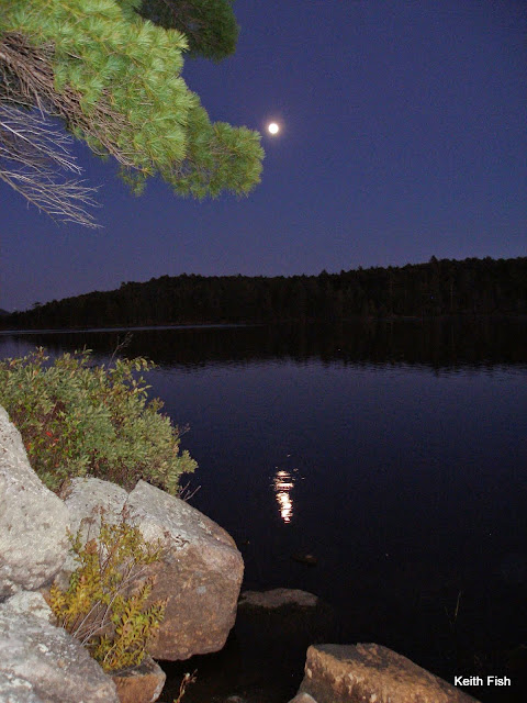
The full moon that night was amazing and I slept with just the tarp thrown over me to keep the dew off.
Even though I didn'’t sleep well, with the excitement of the trip and all, I enjoyed the entire night, listening to the water and the night sounds.
The next morning as the mists lifted from the pond I made my way across to begin the 2+ mile carry to Hardigan Pond. With the exception of the wet area around the Louie Pond outlet this carry is mostly done on old dirt logging roads and ends on an old railroad bed and it was a good shakedown run with the full load.
Before putting into Hardigan Pond, I switched to my water shoes in anticipation of the take out.
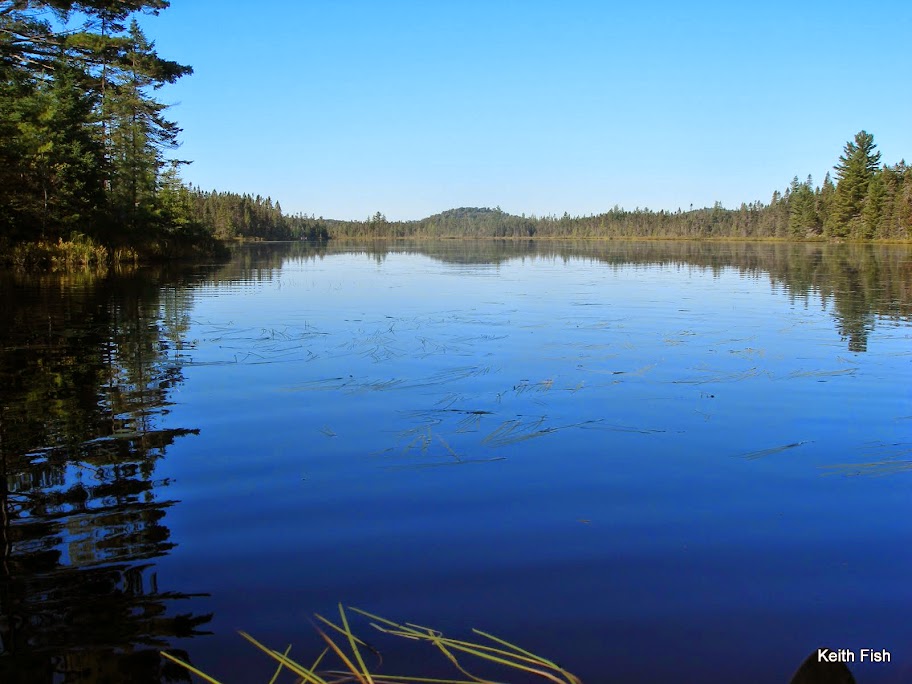
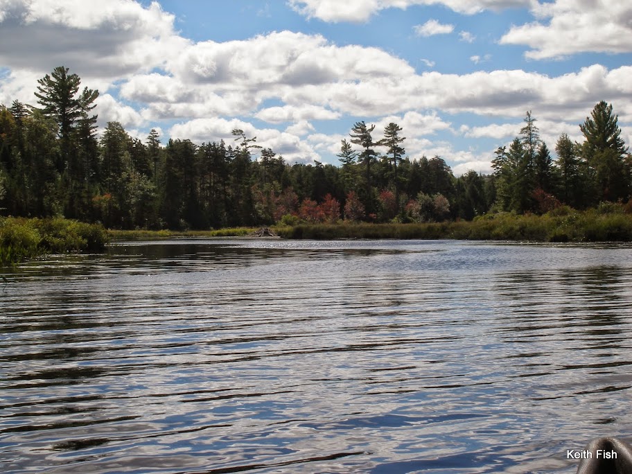
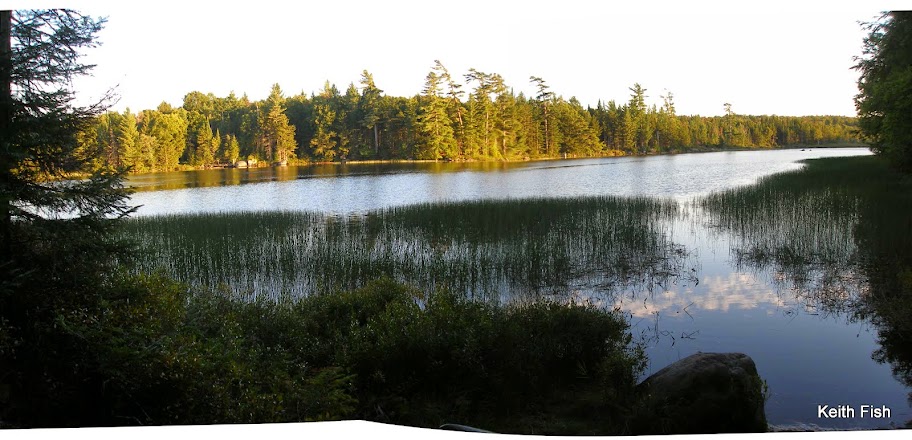
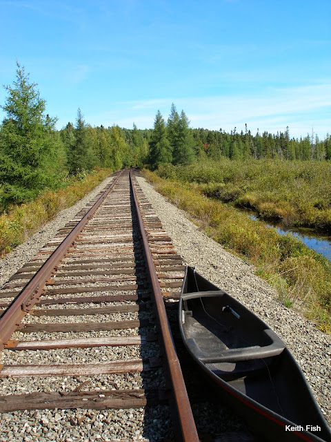
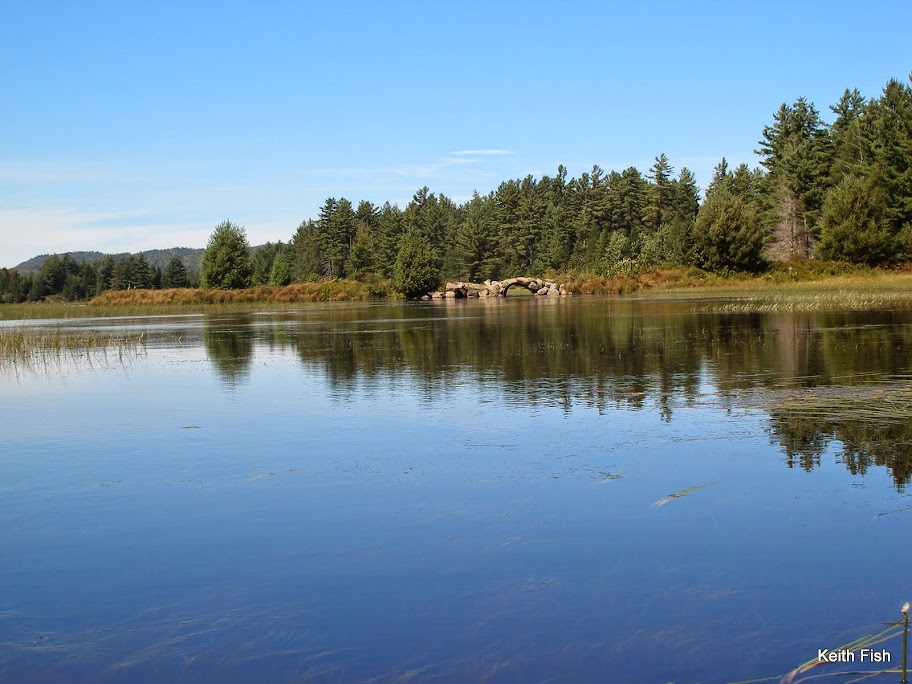
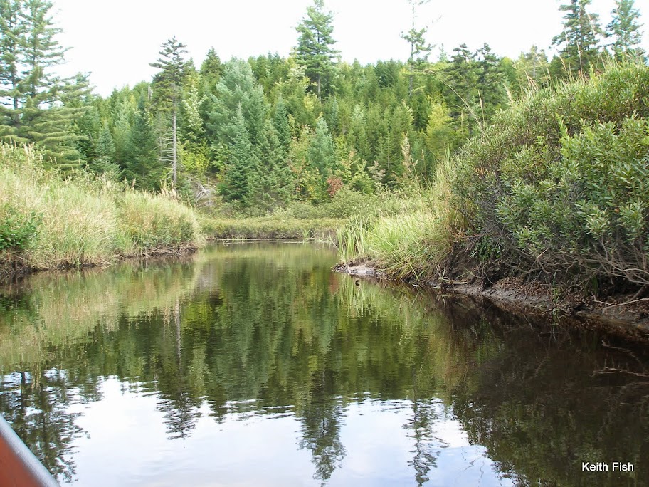
Hardigan is a beautiful little boreal pond and it’s hard to believe that a train used to chug down one side of it.
Making my way down to the outlet the carry sign is at a beaver dam. This is not how I remember it from 8 years ago, but a lot of water has passed under the canoe since and heck, there were no signs at all then. The main trail is mud but there’s a little side trail gets you past that spot, however it isn'’t long and the trail becomes a sluice of mud edged with thick alders and impenetrable fir. The mud goes from ankle deep to calf and occasionally knee deep; to where I find a thigh deep hole. It goes on like this for about 60 yards until it makes it back to the old rail bed eventually dropping you off on the inlet to Little Salmon Lake. I paddle just upstream to see the falls and as soon as the water gets deep enough wash my legs and pants.
I eat lunch at Little Salmon near the site where I stayed when I came through last time.
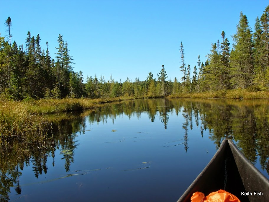
After Little Salmon, it’s a quick little ¾ mile hike on a road down to the put in at Lily Pad Pond. I push my way through the weeds down to the end of Mud Pond and do the quick carry and I'’m back on the water and beaver dams, soon meeting up with Single Shanty Brook. From there it’s just making your way back and forth, back and forth until the winds start picking up letting you know you are almost at Lake Lila.
I really wanted to spend a night on an island in the direction of the carry in the morning so I paddle the relatively calm Lila over and check on Buck Island, finding it available I set up camp there.
I was pretty beat after the day’s exertions so set up the tarp and relax with a book for the rest of the afternoon.
The next morning I try and get out early, because this is to be a big day of carries. While I'’m packing I hear a bird call that I didn'’t recognize from up in the big pines behind the site. Sort of a screech, but different. It was answered from far away by another then silence.
I get packed up, cruise across the lake and locate the carry and unload the canoe at a rocky take out. I load everything in my big pack and realize I don'’t have my boat towel. With this sort of in and out and the muck factor, a boat towel is not something you want to be without. Not to mention I hate leaving crap behind. Put the boat back in the lake and paddle back the mile and a half to the site, but when I round the island to the site what is that in the top of the pine?
A bald eagle!
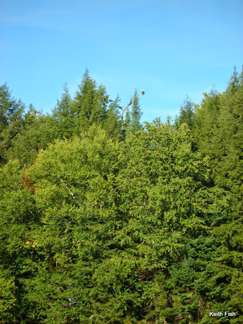
That'’s what I had heard earlier. I guess that helped make the extra 3 mile round trip back to the island worthwhile. Maybe….
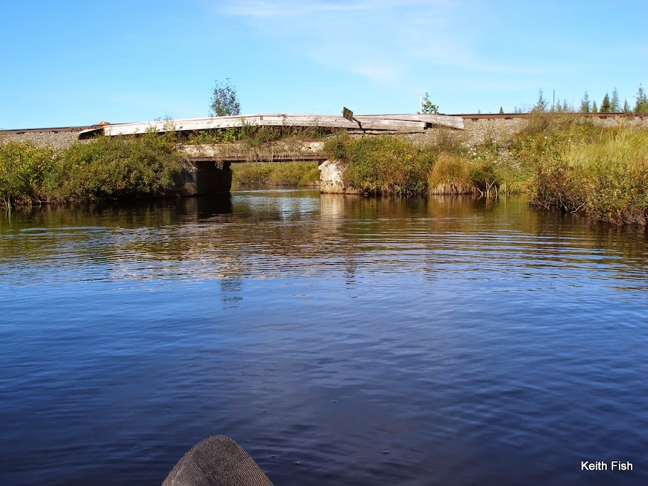
The carry to Harrington Brook was pretty rough with much of it over slippery boulders ending in a rock garden on the brook. The brook itself was gorgeous,
but not long enough until you have to make the left onto Rainer Brook to the train tracks.
(It looks like Rainer could be a nice little day trip from Lila.)
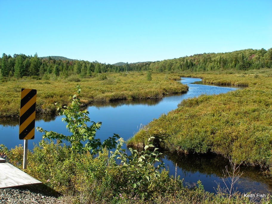
A little more than a mile following moose and deer tracks on the train tracks,
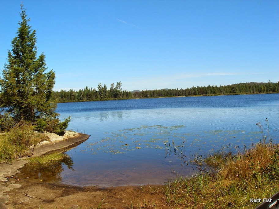
up over the hill and you are at Clear Pond. I’m sitting at the put-in to Clear contemplating how I am going to load the boat from the steep bank when I hear something that reminds me of a plane landing. Glancing around I see nothing, then into my view 30 yards out, lands a loon. It was the wind through it’s wings as he slowed and circled over me that I had heard. Sure is quiet around here.
As I get 2/3rds the way across Clear, looking at the beach looking take out, a truck with an ATV drove over the outlet and stopped. I waved, he waved back and went on his way. Sometimes I forget there are private right of ways on these lands.
The carry from Clear to Bog Lake is the driest one of the trip. In fact it goes right up the road the truck was on to the top of the hill where it goes down another road to an old building site. Oh and there are no carry or trail signs.
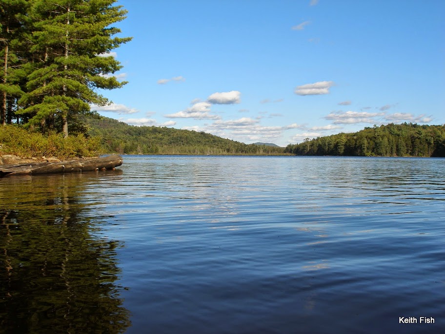
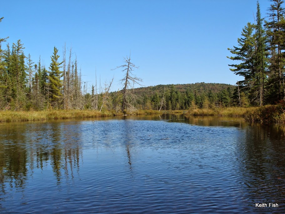
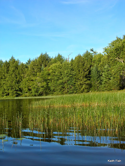
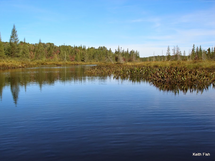
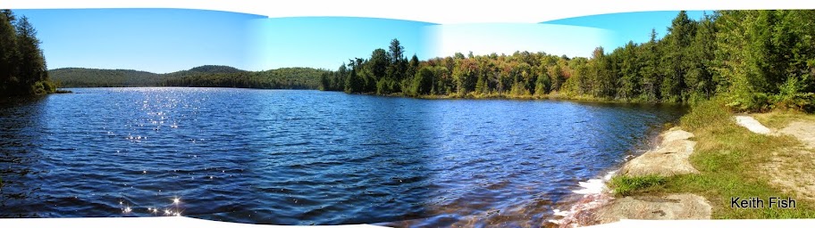
It was a pleasant paddle up the Bog River from Bog Lake.
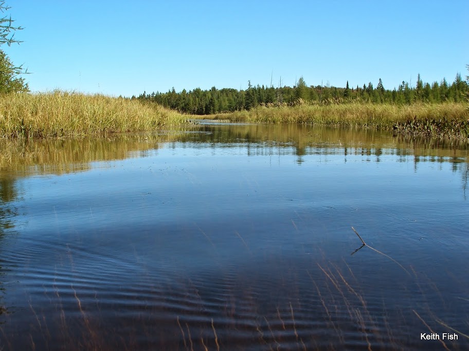
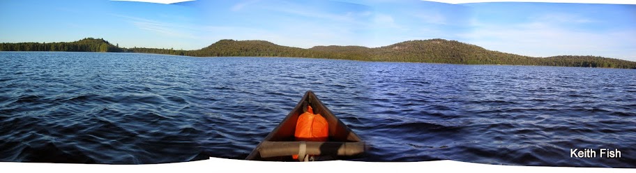
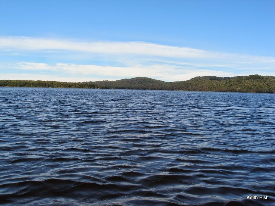
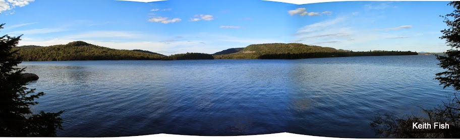
Surprisingly narrow with some current at times, it finally emptied out into Moose Bay where I began recognizing the landmarks. My goal for Low’s was Virgin Timber Landing.
I wanted to be as close to the carry to the Oswegatchie in the morning as I could and Even though Site 34 is closer, it’s not much of a site. Once again I was fortunate to find the Landing available and as nice as I had remembered.
I tried my weather radio and through thick static I think I heard that the forecast hadn'’t changed in the last 3 days and some rain would arrive early Thursday. I wasn'’t sure if I could make it all the way from Low’s to Inlet in a day, but I figured I should try and make it an option as apposed to definitely slogging out the last day in the rain.
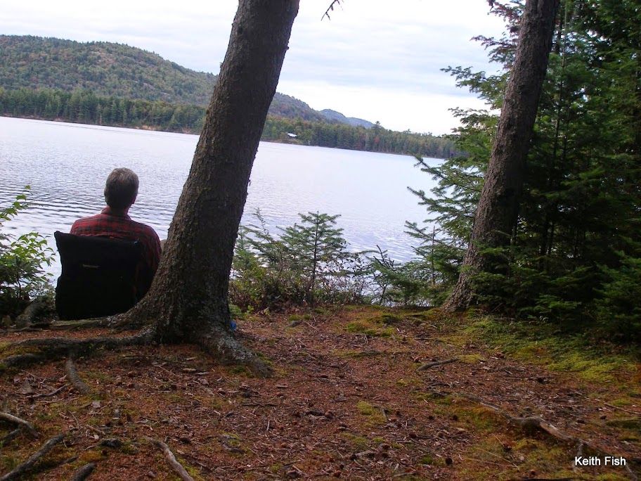
That night I ate my supper next to the lake and contemplated how fortunate I am to live in such a reliably beautiful place and to be able to enjoy it in so many ways.
 On the water by 7:30 the next morning I quickly made it to the beginning of the carry.
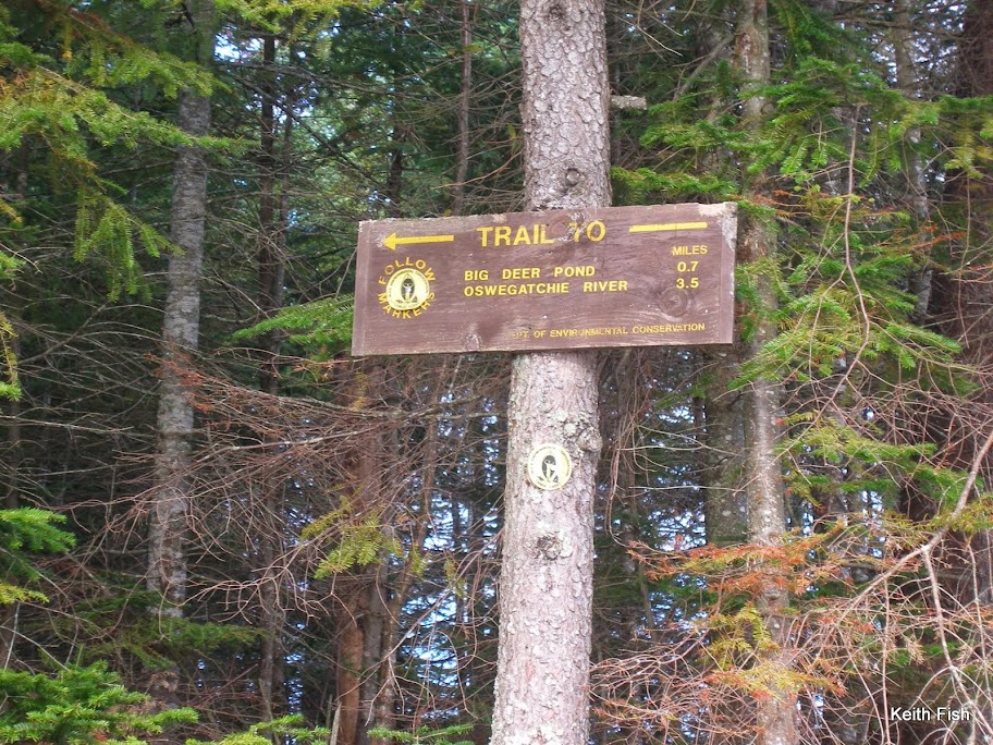
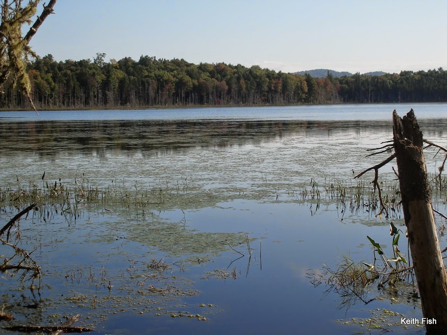
Sign in and mount up. Big Deer shows up right on schedule. I put in OK but have a difficult time finding the take out. I know it was here last year. Finally I locate it behind some newly fallen trees making it difficult to even get to the trail.
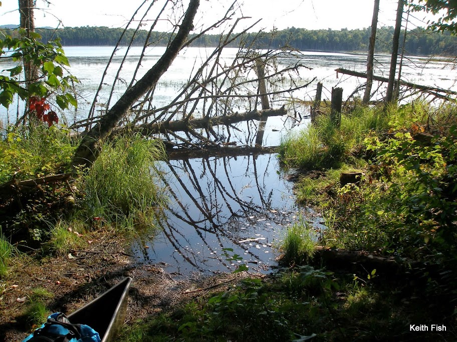
Thanks to the person that did the saw work and I was able to break some more branches and made it back to land.
From here the trail goes up and over a ridge and then with just a couple of ups and downs is fairly flat and is in great shape. Really, a pleasure to hike. At 10:30 I arrived at the Oswegatchie River!
The Mighty Oz!
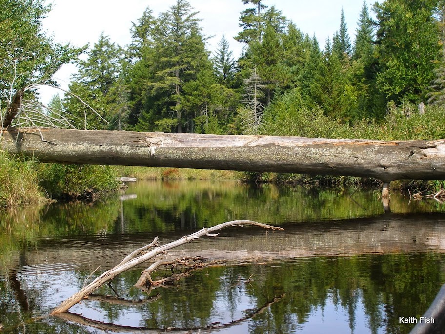
Well I wasn'’t upset that most of the carrying was over but what of this river? I only had read trip reports, but I was excited to see a new place. Above High Falls is an area of switchbacks and beaver dams.
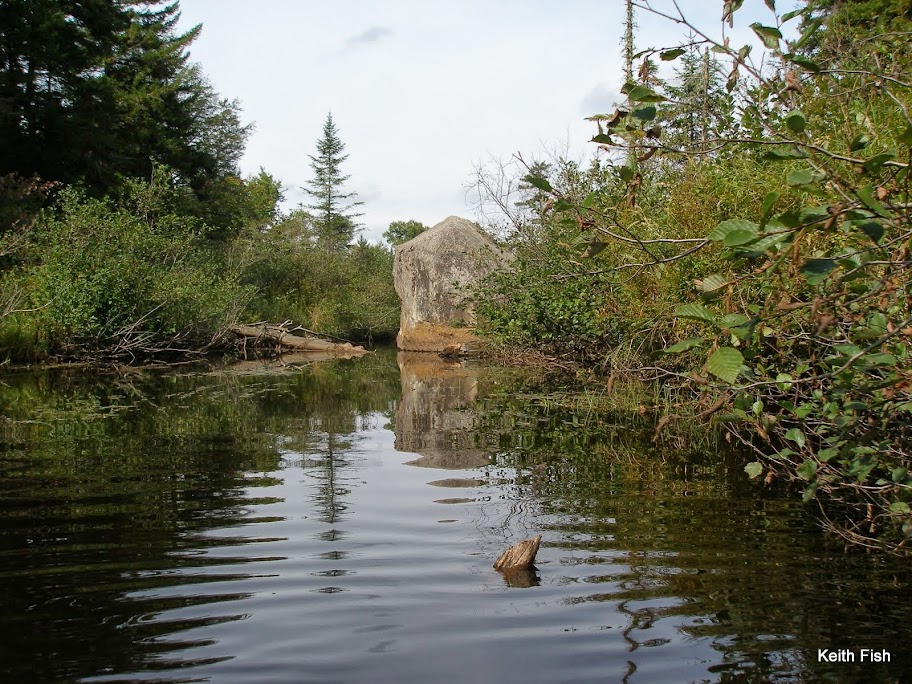
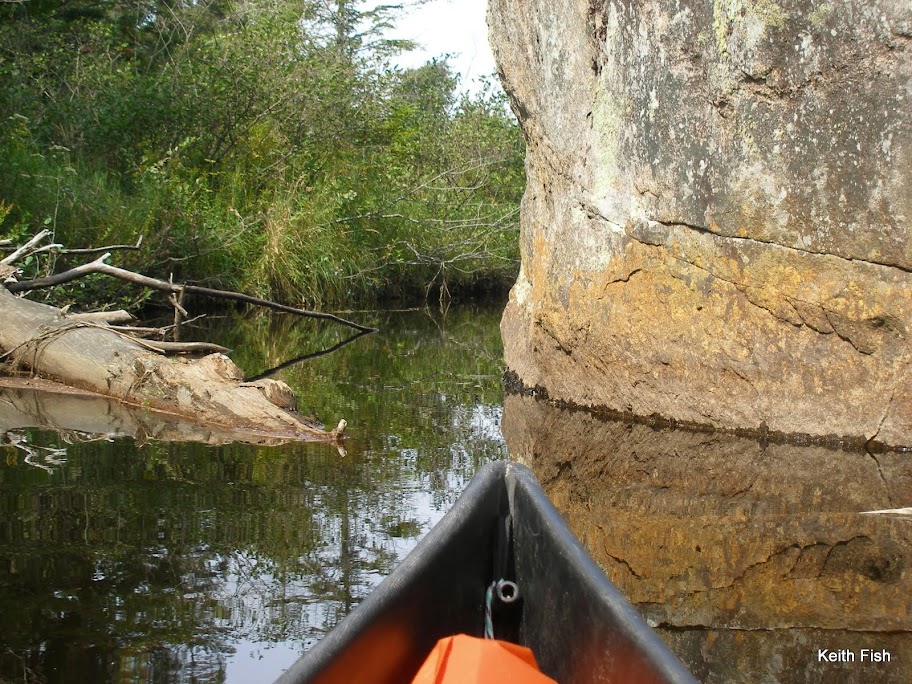
19 dams to be exact, that had to be dealt with in some manner and scads of others that were breached.
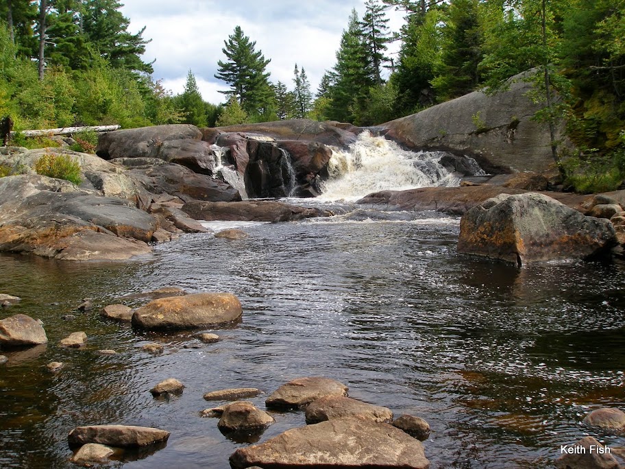
High Falls is impressive.
It was here I started really considering if I had a chance to make it to the car by dark. As I got further and further down stream the chance seemed more and more sure. The river got straighter, there were less dams and the miles were ticking away. I didn'’t take any more pictures but encountered a big beaver up on a high bank that lazily made it’s way and splashed into the water as I went by and a beautiful pair of wood ducks sitting on branches under a bank, that just held still until I got past, then and they merely stepped down, unperturbed, off their perches into the water. The partly cleared obstacles on this river are impressive.
The huge pines, I’m assuming from the ’95 microburst, 4 and 5 feet through, laying around like matchsticks are astounding. I also wasn'’t too sure about running the few rapids, but I managed, adding only a few new scratches to the boat.
At 6:30 I made it to the car with just over 50 miles under my belt and a big smile of satisfaction on my face. All in all it was a great trip.
__________________
__________________
Sunday morning found Judi and I in our cars speeding northwestward 2 hours to drop off my car at Inlet, then coming back an hour to launch at Little Tupper. I talked to the forest ranger before setting off and he helpfully noted they had rerouted the exit from Rock Pond (thank goodness), the take out from Hardigan Pond was still messy and some other details about where there were and weren'’t trail markers. I did the trip from Little Tupper to Lake Lila in 2006, so I was familiar with that section, We also had spent a week on Lows’s Lake last year and had explored it quite a bit including paddling Big Deer Pond, but everything else on the trip was new to me.
I shove off 12:30 and head up into the steady afternoon winds that Little Tupper (and the three next lakes I will paddle) is known for.
It’s a beautiful day and I really like the way the New Trick handles with a load. Speaking of loads, my pack weighed in at 50# for a total carry with the boat and paddle of 65#. To round things out, I weigh in at around 165 and for trimming the boat I tossed my food bag and daypack in the bow. This seemed to work well and didn'’t necessitate much repacking for the carries.
I made my way up the outlet of Rock Pond and over a couple of beaver dams just big enough to make you get out of the boat, but with nothing substantial to stand on.
I can’t pass this spot without taking a moment and thinking of Willis, the originator of this forum, and meeting him in passing a few years back at this location.
Other than a couple of visiting fishermen from Little Tupper, Rock Pond was empty and I make the island campsite my home for the night.
I am glad I wasn'’t on the pond when the last residents of the site were there. As I walked up the path from the boat, I first encounter the plastic wad from a shot gun shell. As I look around the site I see a tree used for target practice and indeed find a well perforated paper target in the fireplace where there’s another shotgun wad. When I go to look at the target tree I notice another small pine behind it with a slug trench through the side of it. Standing in the site and looking at the target tree and the slug tree I can’t help but notice campsite # 30 is directly behind them across the pond. There are some things I just don'’t understand.
Before supper I took a run around the pond to reacquaint myself with it, checking the new carry, some of the campsites and gathering some firewood before heading back.
The full moon that night was amazing and I slept with just the tarp thrown over me to keep the dew off.
Even though I didn'’t sleep well, with the excitement of the trip and all, I enjoyed the entire night, listening to the water and the night sounds.
The next morning as the mists lifted from the pond I made my way across to begin the 2+ mile carry to Hardigan Pond. With the exception of the wet area around the Louie Pond outlet this carry is mostly done on old dirt logging roads and ends on an old railroad bed and it was a good shakedown run with the full load.
Before putting into Hardigan Pond, I switched to my water shoes in anticipation of the take out.
Hardigan is a beautiful little boreal pond and it’s hard to believe that a train used to chug down one side of it.
Making my way down to the outlet the carry sign is at a beaver dam. This is not how I remember it from 8 years ago, but a lot of water has passed under the canoe since and heck, there were no signs at all then. The main trail is mud but there’s a little side trail gets you past that spot, however it isn'’t long and the trail becomes a sluice of mud edged with thick alders and impenetrable fir. The mud goes from ankle deep to calf and occasionally knee deep; to where I find a thigh deep hole. It goes on like this for about 60 yards until it makes it back to the old rail bed eventually dropping you off on the inlet to Little Salmon Lake. I paddle just upstream to see the falls and as soon as the water gets deep enough wash my legs and pants.
I eat lunch at Little Salmon near the site where I stayed when I came through last time.
After Little Salmon, it’s a quick little ¾ mile hike on a road down to the put in at Lily Pad Pond. I push my way through the weeds down to the end of Mud Pond and do the quick carry and I'’m back on the water and beaver dams, soon meeting up with Single Shanty Brook. From there it’s just making your way back and forth, back and forth until the winds start picking up letting you know you are almost at Lake Lila.
I really wanted to spend a night on an island in the direction of the carry in the morning so I paddle the relatively calm Lila over and check on Buck Island, finding it available I set up camp there.
I was pretty beat after the day’s exertions so set up the tarp and relax with a book for the rest of the afternoon.
The next morning I try and get out early, because this is to be a big day of carries. While I'’m packing I hear a bird call that I didn'’t recognize from up in the big pines behind the site. Sort of a screech, but different. It was answered from far away by another then silence.
I get packed up, cruise across the lake and locate the carry and unload the canoe at a rocky take out. I load everything in my big pack and realize I don'’t have my boat towel. With this sort of in and out and the muck factor, a boat towel is not something you want to be without. Not to mention I hate leaving crap behind. Put the boat back in the lake and paddle back the mile and a half to the site, but when I round the island to the site what is that in the top of the pine?
A bald eagle!
That'’s what I had heard earlier. I guess that helped make the extra 3 mile round trip back to the island worthwhile. Maybe….
The carry to Harrington Brook was pretty rough with much of it over slippery boulders ending in a rock garden on the brook. The brook itself was gorgeous,
but not long enough until you have to make the left onto Rainer Brook to the train tracks.
(It looks like Rainer could be a nice little day trip from Lila.)
A little more than a mile following moose and deer tracks on the train tracks,
up over the hill and you are at Clear Pond. I’m sitting at the put-in to Clear contemplating how I am going to load the boat from the steep bank when I hear something that reminds me of a plane landing. Glancing around I see nothing, then into my view 30 yards out, lands a loon. It was the wind through it’s wings as he slowed and circled over me that I had heard. Sure is quiet around here.
As I get 2/3rds the way across Clear, looking at the beach looking take out, a truck with an ATV drove over the outlet and stopped. I waved, he waved back and went on his way. Sometimes I forget there are private right of ways on these lands.
The carry from Clear to Bog Lake is the driest one of the trip. In fact it goes right up the road the truck was on to the top of the hill where it goes down another road to an old building site. Oh and there are no carry or trail signs.
It was a pleasant paddle up the Bog River from Bog Lake.
Surprisingly narrow with some current at times, it finally emptied out into Moose Bay where I began recognizing the landmarks. My goal for Low’s was Virgin Timber Landing.
I wanted to be as close to the carry to the Oswegatchie in the morning as I could and Even though Site 34 is closer, it’s not much of a site. Once again I was fortunate to find the Landing available and as nice as I had remembered.
I tried my weather radio and through thick static I think I heard that the forecast hadn'’t changed in the last 3 days and some rain would arrive early Thursday. I wasn'’t sure if I could make it all the way from Low’s to Inlet in a day, but I figured I should try and make it an option as apposed to definitely slogging out the last day in the rain.
That night I ate my supper next to the lake and contemplated how fortunate I am to live in such a reliably beautiful place and to be able to enjoy it in so many ways.
Sign in and mount up. Big Deer shows up right on schedule. I put in OK but have a difficult time finding the take out. I know it was here last year. Finally I locate it behind some newly fallen trees making it difficult to even get to the trail.
Thanks to the person that did the saw work and I was able to break some more branches and made it back to land.
From here the trail goes up and over a ridge and then with just a couple of ups and downs is fairly flat and is in great shape. Really, a pleasure to hike. At 10:30 I arrived at the Oswegatchie River!
The Mighty Oz!
Well I wasn'’t upset that most of the carrying was over but what of this river? I only had read trip reports, but I was excited to see a new place. Above High Falls is an area of switchbacks and beaver dams.
19 dams to be exact, that had to be dealt with in some manner and scads of others that were breached.
High Falls is impressive.
It was here I started really considering if I had a chance to make it to the car by dark. As I got further and further down stream the chance seemed more and more sure. The river got straighter, there were less dams and the miles were ticking away. I didn'’t take any more pictures but encountered a big beaver up on a high bank that lazily made it’s way and splashed into the water as I went by and a beautiful pair of wood ducks sitting on branches under a bank, that just held still until I got past, then and they merely stepped down, unperturbed, off their perches into the water. The partly cleared obstacles on this river are impressive.
The huge pines, I’m assuming from the ’95 microburst, 4 and 5 feet through, laying around like matchsticks are astounding. I also wasn'’t too sure about running the few rapids, but I managed, adding only a few new scratches to the boat.
At 6:30 I made it to the car with just over 50 miles under my belt and a big smile of satisfaction on my face. All in all it was a great trip.
__________________
__________________
Last edited:
