Our small gang of 4 paddled in 2 tandem strippers through the newly acquired Essex Chain Lakes. Although DEC does not allow camping on these new to public access lands and waters, there is a section that has been state land for a very long time (at least since 1982).
Here's a Google view of most of our route.
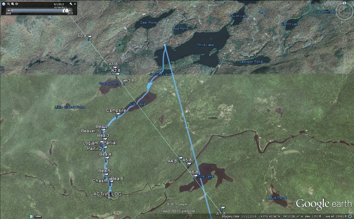
I have drawn a line (along a county line) that shows where the old state land and new state land border is, about halfway through First Lake.
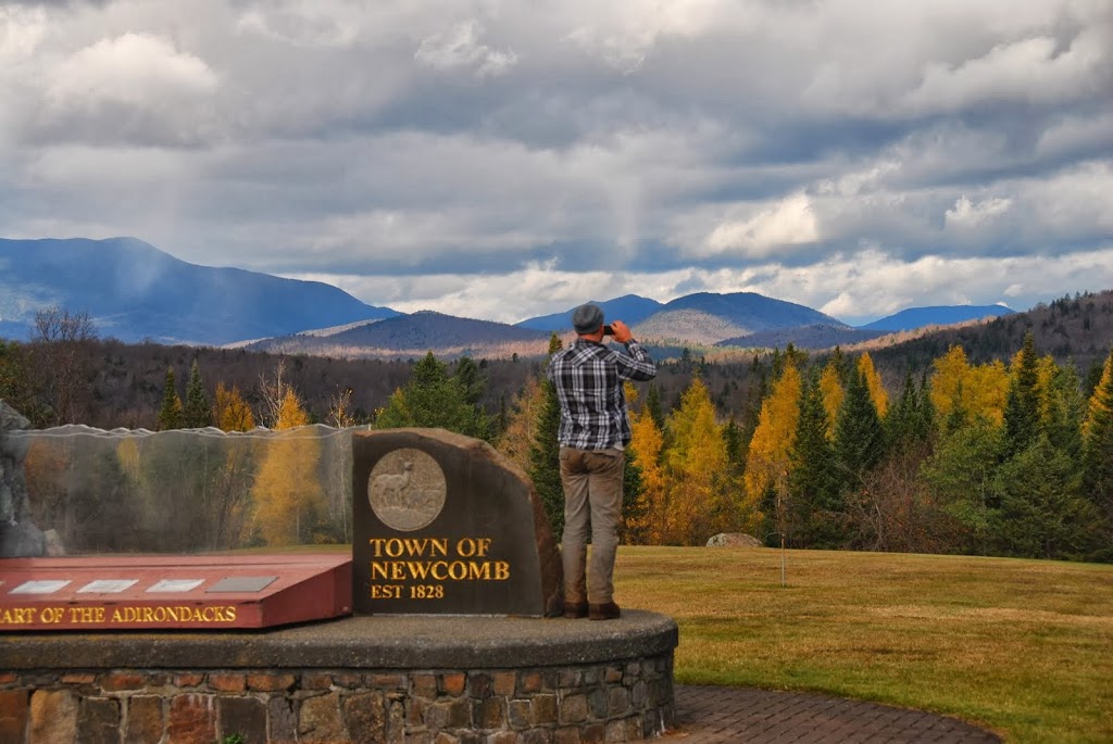
We started at the designated parking area, 10.5 miles from Rt 28N, in Newcomb. From the parking area, it should have been a short 1/4 mile carry to Deer Pond, but I was under the bow, and asked my nephew, carrying with me in the stern, to keep an eye out for the sign to the put in. Well, after about double the distance, I noticed we were pretty close to the W edge of Deer Pond, I could see it through the trees. So we did a short bushwhack, and got on track.
After the itty bitty paddle across Deer, we carried up a hill and intersected an old road, then diverged from the road to a downhill path to Third Lake. All of this carry was only 1/2 mile long.
We then paddled Third into Second and then carried around a huge (50 yards wide!) beaver dam and the rock garden below it, ending up on First Lake.
Made camp on the old state land portion of First.
Overnight temps were well below freezing, we had skim ice and ice my Kelly Kettle.
After breakfast, and some time to wait for the sun to warm things up a bit, we headed down the outlet of First Lake, or what I like to call it, The Chain Drain.
The Chain Drain was only about a mile as the crow flies to the confluence with the Rock River, but the squiggles, many beaver dams and logjams added time and effort.
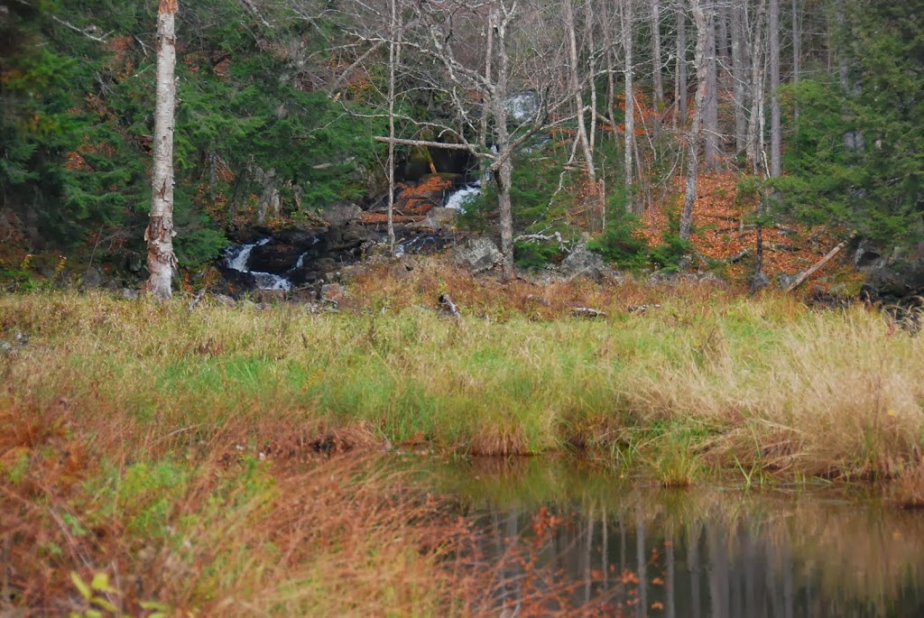
Then we reached a chasm of sorts, where the Chain Drain drops about 50 or 60 feet through sheer rock walls. We spent so much time looking at the falls that we ran out of time to carry around and paddle the Rock!!
It was time well spent though. This is a spot that before now, had been extremely difficult to reach through public access water and land.
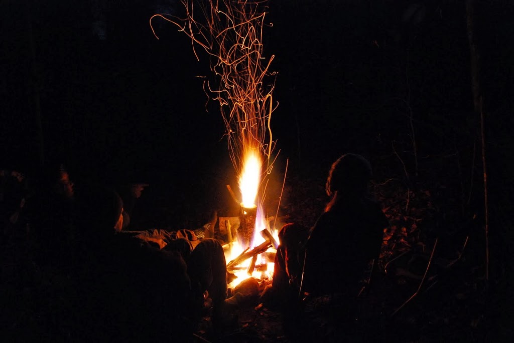
All agreed, it was a good use of a day, and we returned upstream to our campsite, dinner and a warm fire. Heavy rain started at around 9 PM, so we hit the sack, and awoke the next morning to soggy ground and sunny skies!!
Oh, and we tried to see the partial lunar eclipse on Friday night, but saw no eclipse. It was still a very pleasant full moon paddle, especially for my D-I-L, she had never paddled in moonlight before.
And half of our motivation was to do recon for next year's trip on the Rock and Cedar and Hudson rivers...
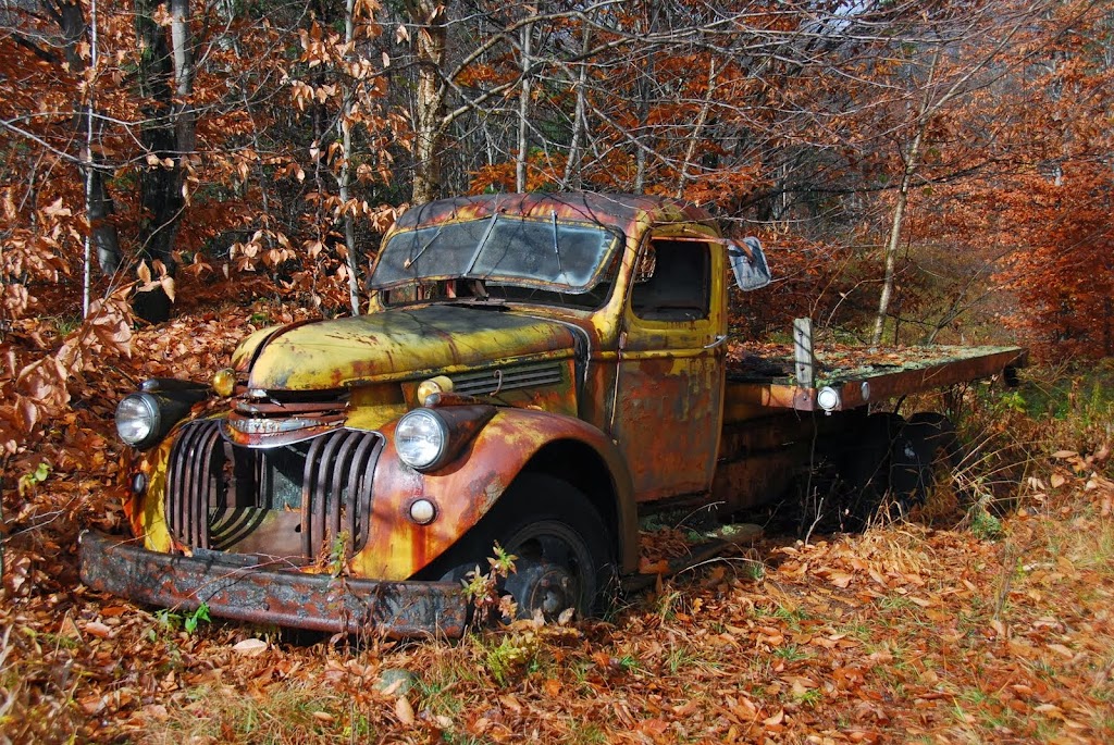
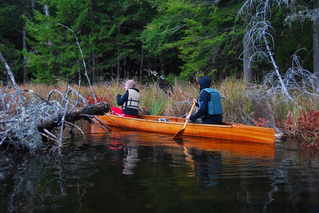
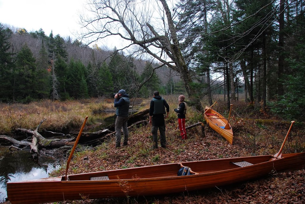
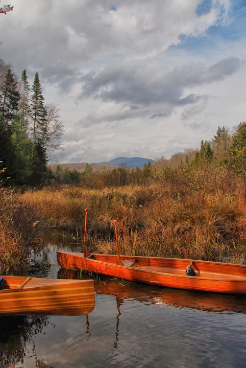
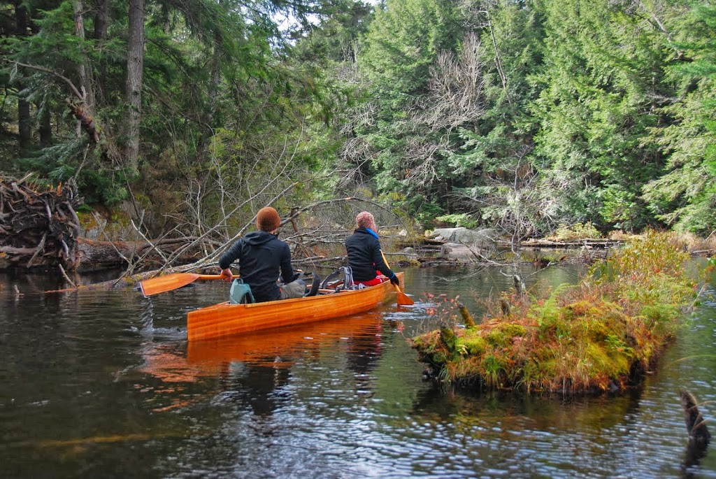
Here's a few photos to give you a glimpse.
Here's a Google view of most of our route.
I have drawn a line (along a county line) that shows where the old state land and new state land border is, about halfway through First Lake.
We started at the designated parking area, 10.5 miles from Rt 28N, in Newcomb. From the parking area, it should have been a short 1/4 mile carry to Deer Pond, but I was under the bow, and asked my nephew, carrying with me in the stern, to keep an eye out for the sign to the put in. Well, after about double the distance, I noticed we were pretty close to the W edge of Deer Pond, I could see it through the trees. So we did a short bushwhack, and got on track.
After the itty bitty paddle across Deer, we carried up a hill and intersected an old road, then diverged from the road to a downhill path to Third Lake. All of this carry was only 1/2 mile long.
We then paddled Third into Second and then carried around a huge (50 yards wide!) beaver dam and the rock garden below it, ending up on First Lake.
Made camp on the old state land portion of First.
Overnight temps were well below freezing, we had skim ice and ice my Kelly Kettle.
After breakfast, and some time to wait for the sun to warm things up a bit, we headed down the outlet of First Lake, or what I like to call it, The Chain Drain.
The Chain Drain was only about a mile as the crow flies to the confluence with the Rock River, but the squiggles, many beaver dams and logjams added time and effort.
Then we reached a chasm of sorts, where the Chain Drain drops about 50 or 60 feet through sheer rock walls. We spent so much time looking at the falls that we ran out of time to carry around and paddle the Rock!!
It was time well spent though. This is a spot that before now, had been extremely difficult to reach through public access water and land.
All agreed, it was a good use of a day, and we returned upstream to our campsite, dinner and a warm fire. Heavy rain started at around 9 PM, so we hit the sack, and awoke the next morning to soggy ground and sunny skies!!
Oh, and we tried to see the partial lunar eclipse on Friday night, but saw no eclipse. It was still a very pleasant full moon paddle, especially for my D-I-L, she had never paddled in moonlight before.
And half of our motivation was to do recon for next year's trip on the Rock and Cedar and Hudson rivers...
Here's a few photos to give you a glimpse.


