One of the members of this summer's Allagash trip was a forester for the state of Mass. He really liked the Train/Tram area and wanted more time checking out the whole operation.
A quick overview of the trip.
We put in again at Indian Stream(#6), checked out the tall pines (#1)SE of Pillsbury Lake and camped at Smith Brook Campsite(#2&4).
Day 2 decided to spend another night there and we paddled up to Soper Brk (#3)to see an Old Growth grove near the falls then paddled over to the Pump Handle to check out an Old Hardwood grove, then back to Smith Brk.
Day 3 paddled to the Train/Tram, carry over to Chamberlain and on to Lock Dam (#5)
Day 4 Cart the 2+ miles back to the start.
Tis is our 'SPOT' map for the trip

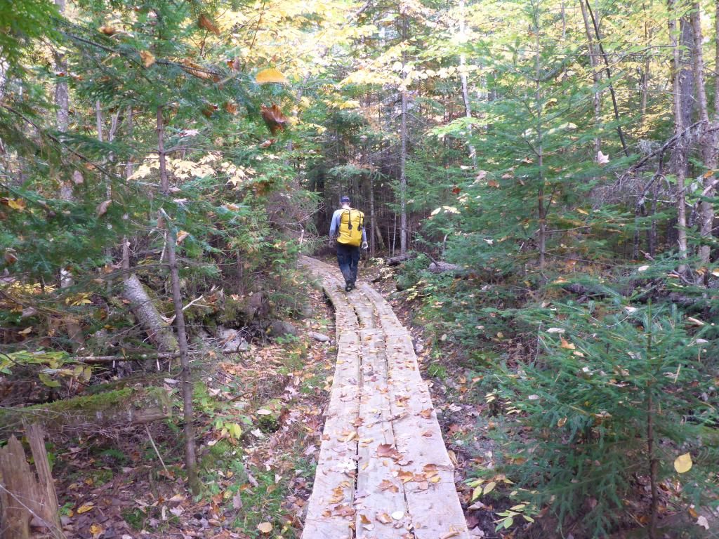
The stream was low but deep enough to line down, there is a new board walk that has been built that starts 4-500' beyond the brook. Most of it is 3 boards wide and is suitable for wide wheeled carts.
It was even tough trying to get out into Eagle Lake at the end of the stream.

Google Earth had given me a pretty good idea of where the tall White Pines were along with a written account of SE of Pillsbury Island. They were right where they were supposed to be and weren't hard to find.

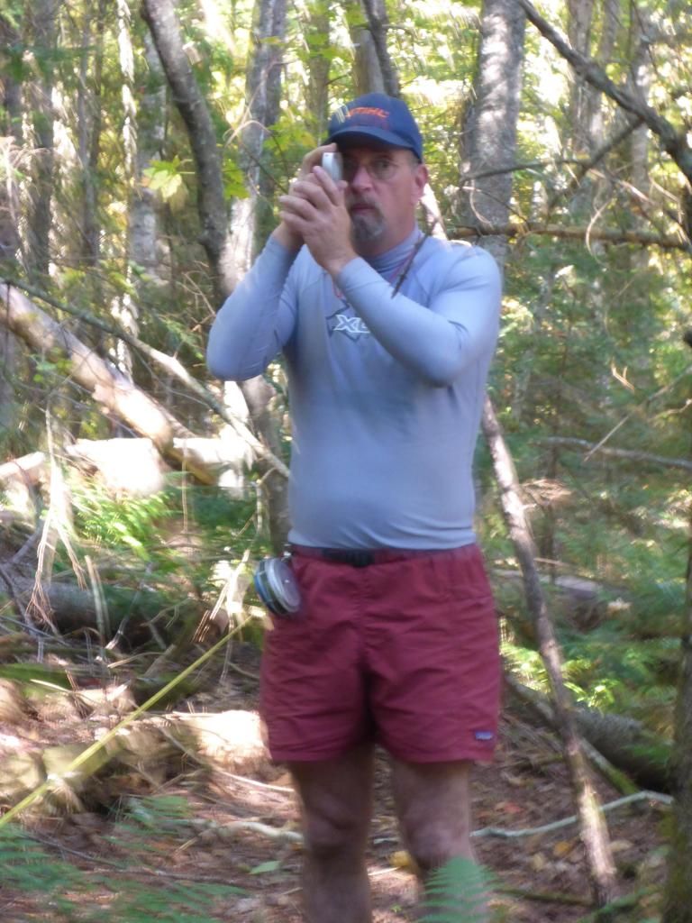
Nick brought his forestry tools and we recorded a pair of trees at +36" in diameter and 120' tall.
Then on to a great camp at Smith Brook. The squirrels were active and the tarp was under a constant bombardment of Spruce Cones

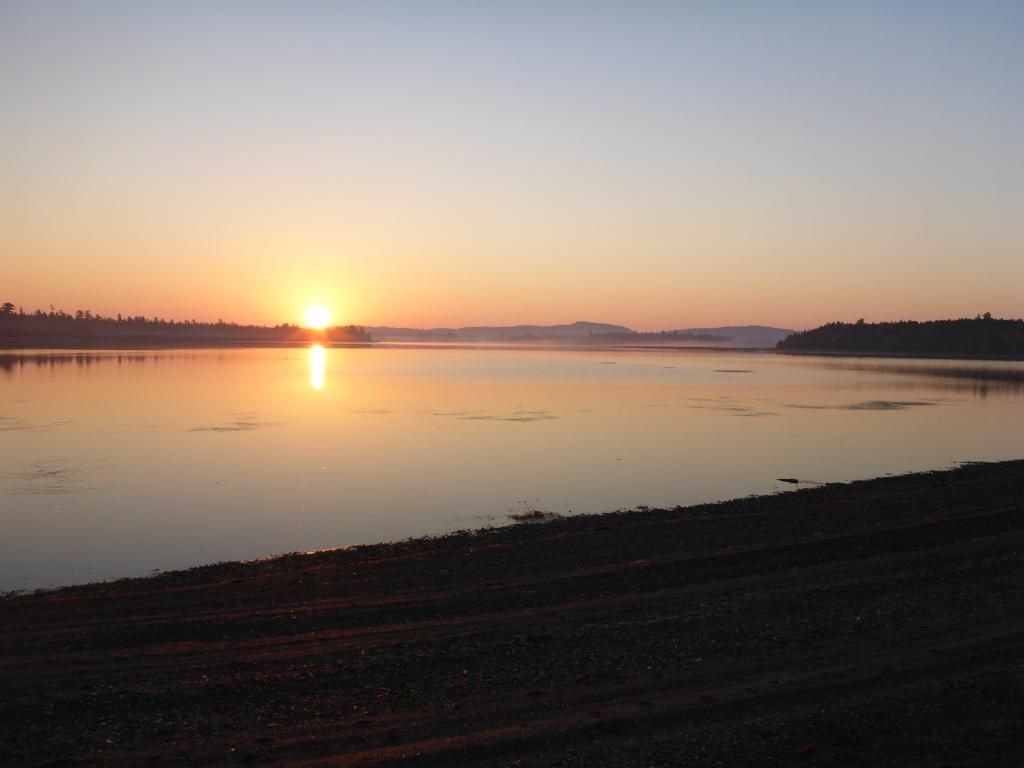
We had a great sunrise
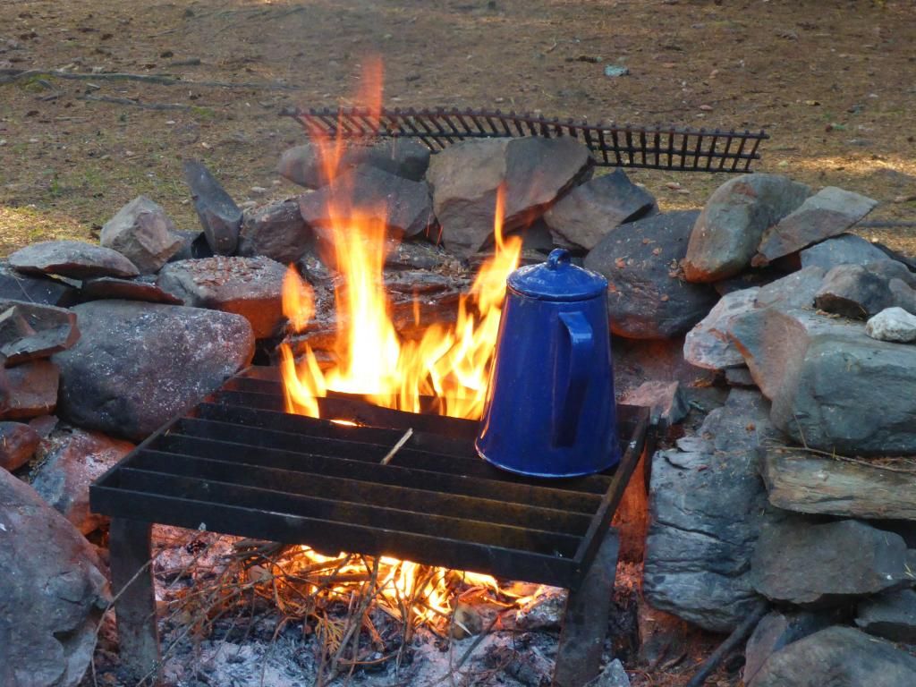
Hoops recipe for Bush Coffee worked great
But bacon in a reflector oven, not so much.

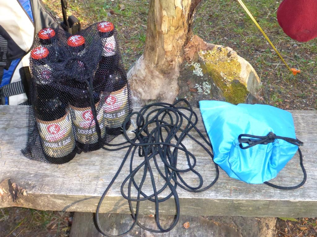
On the way up to Soper Brook we dropped a few beers to the bottom on a float by the time we returned they were ready.
At Soper Brook we ran into stone fish mounds. One of the rangers earlier this summer told us they were built by White Fish.

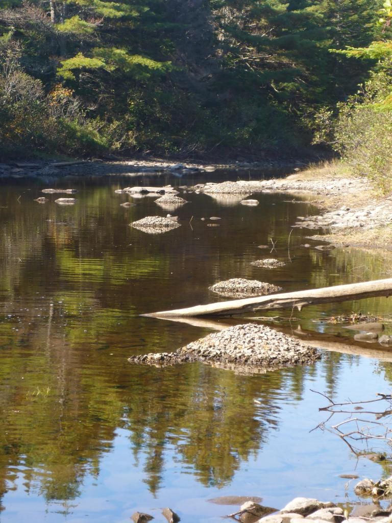
There's 10 in this pic

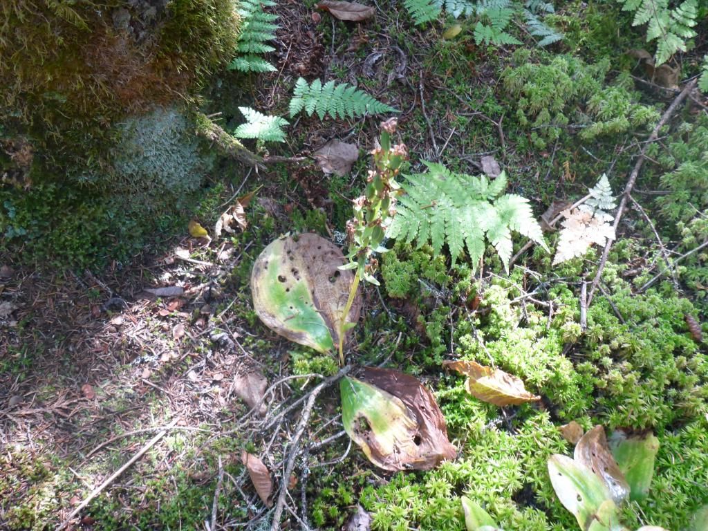
We had to walk the last 1/2 mile of the brook to the falls but never did find a stand of Old Growth trees. I did find an orchid going to seed. I've seen this orchid budding and going to seed, but not in blossom.
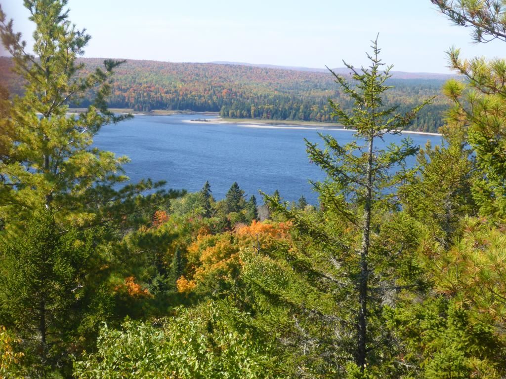
We paddled over to Pump Handle to see the Hardwood grove. I wasn't expecting much out of this grove, we have a lot bigger trees around here then were advertised. I was first surprised with a Red Oak. Not a very big one but just the first one I'd seen that far north, and then we came to the overlook.
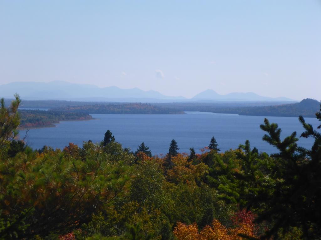
From Katahdin in the SE around to NW into Russell Cove.
We fought the wind coming in on our broadside on the way back.
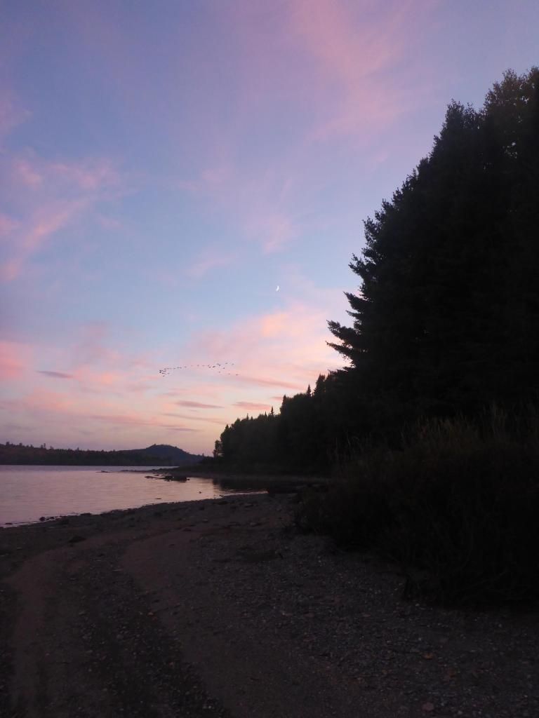
Sunset with Geese
Day 3 another paddle with wind at our broadside to the Trains. Earlier this year we had put ashore past the spot I took this pic.
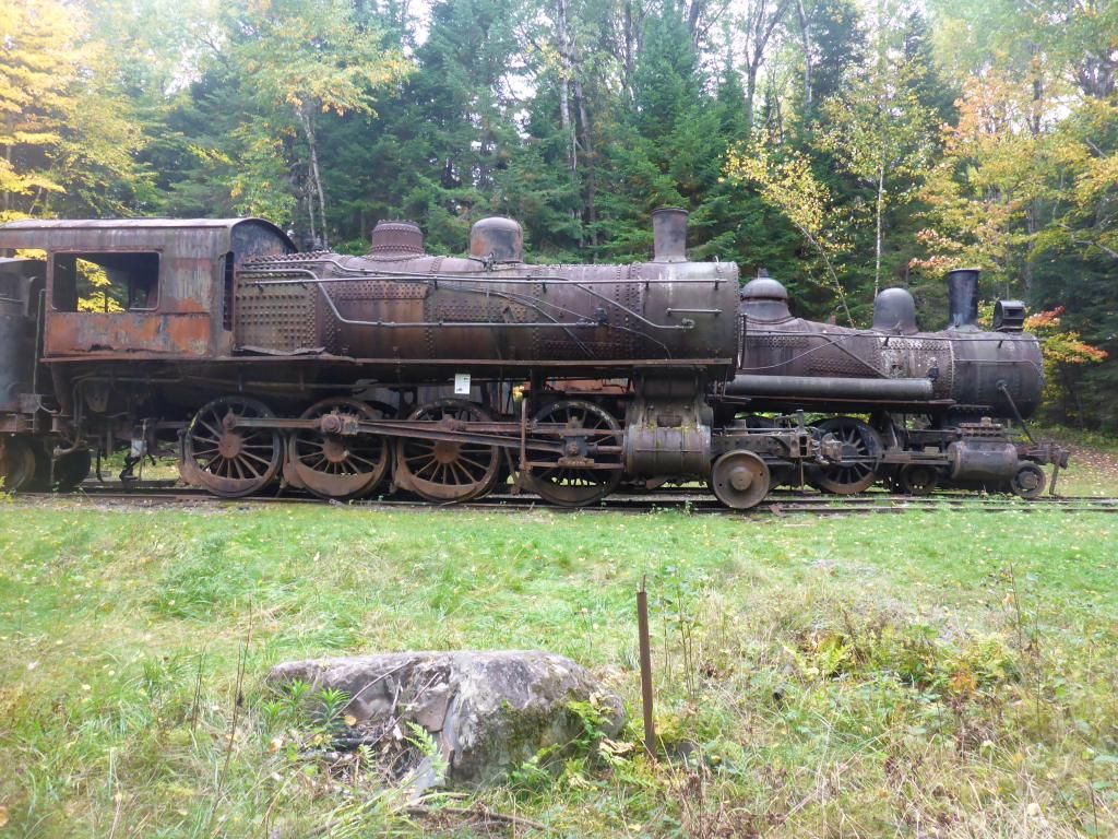
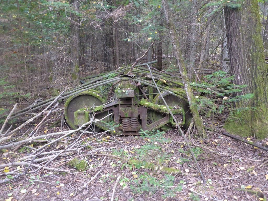
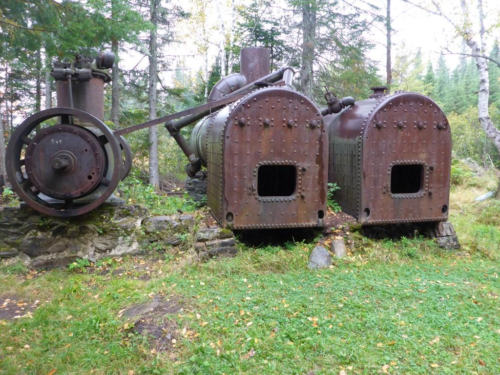
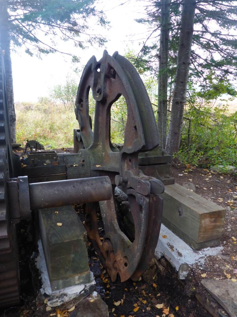
We checked out the Locomotives
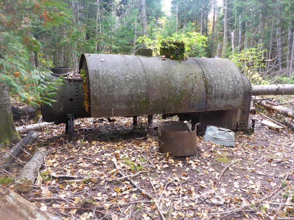
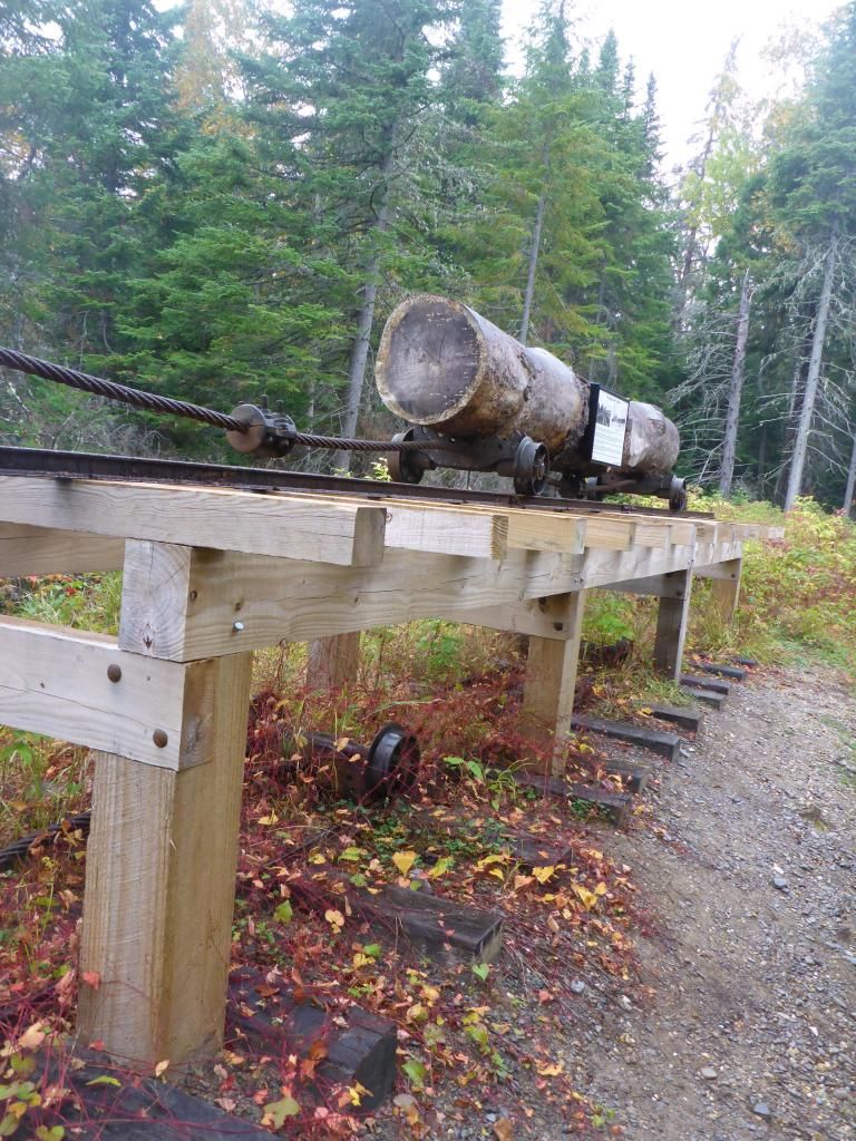
and the Boarding House, the Potato Field, the Lombard they used as a Pre-heater and the other end of the Tramway
I finally figured out what the dogs between the trucks were for.
The carry here between the lakes is now tough on carts. With the improvements on the south end they have added several water bars that require the lift of the canoe and cart.
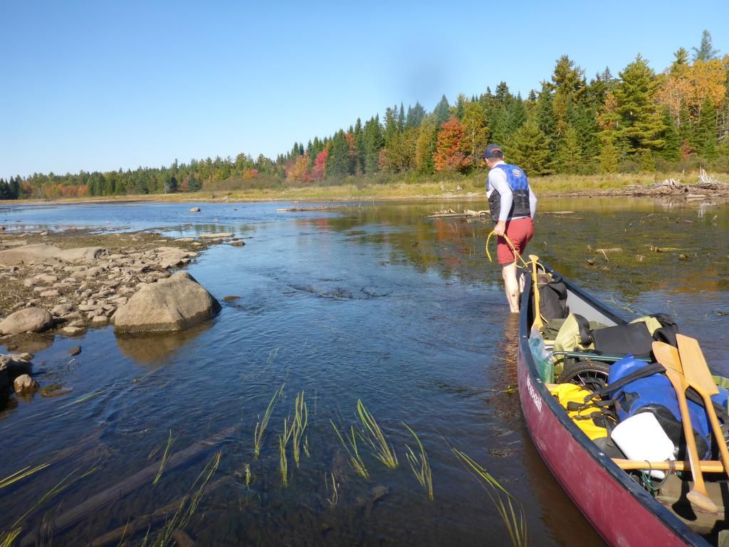
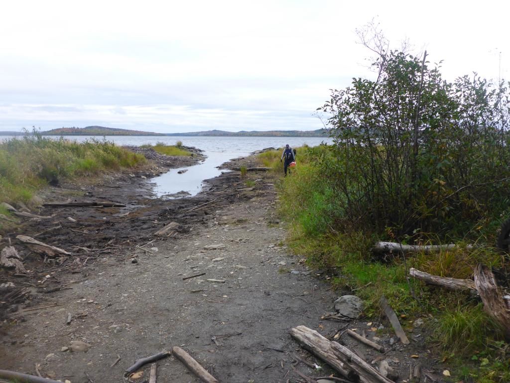
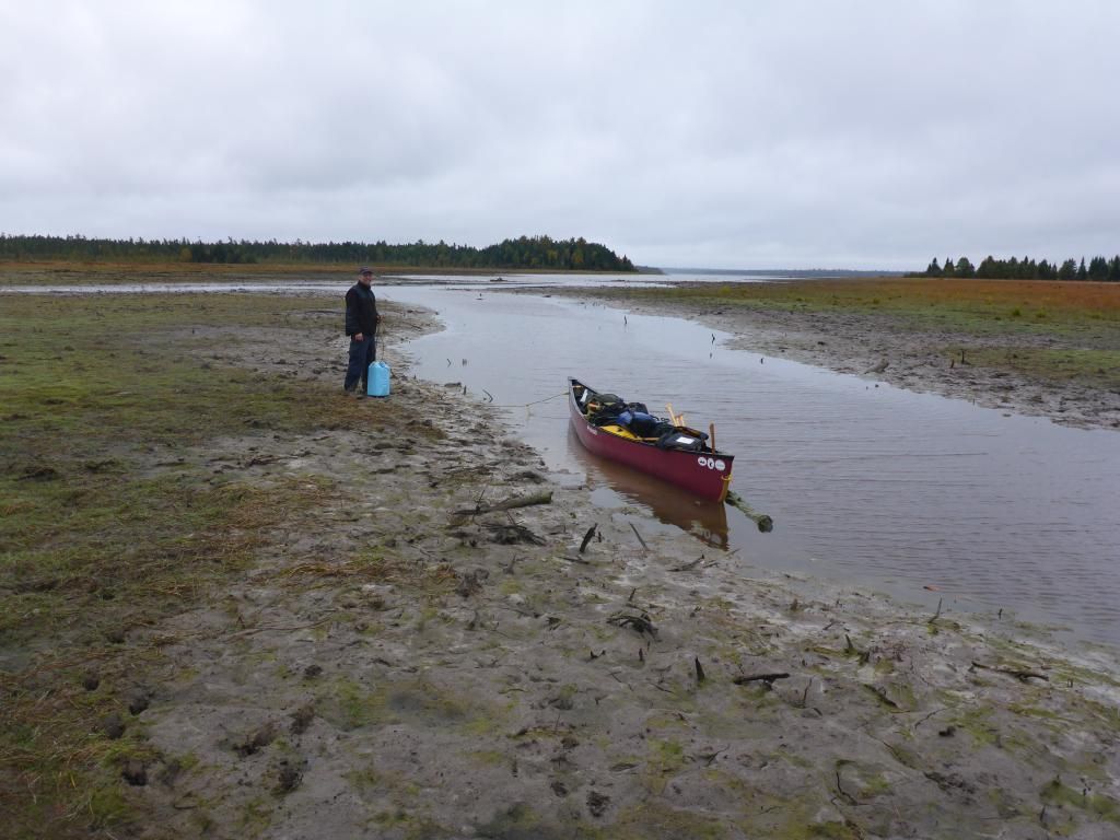
We got to Chamberlain at the wrong time of day, we arrived at low tide.
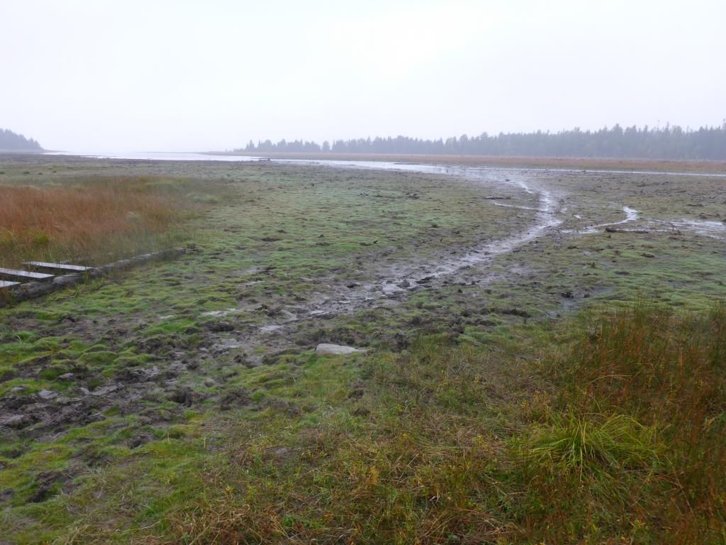
But found that if we walked around to the right we were in better shape to load
We had an uneventful paddle to Lock Dam, which was a good thing after the mornings struggle to the trains. We checked out the low water carry around the dam.
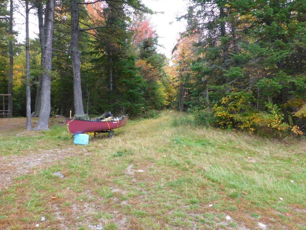
The next morning we made a few changes to our carting system, securing it diagonally and in route found that it was better for both of us to pull from the front.

The road back to the gate started out grassy, muddy and rutted with moose tracks but after about a mile turned harder


On the way home we stopped off in Waterville, ME to see the gas Lombard there
A tough trip but worth the effort.
A quick overview of the trip.
We put in again at Indian Stream(#6), checked out the tall pines (#1)SE of Pillsbury Lake and camped at Smith Brook Campsite(#2&4).
Day 2 decided to spend another night there and we paddled up to Soper Brk (#3)to see an Old Growth grove near the falls then paddled over to the Pump Handle to check out an Old Hardwood grove, then back to Smith Brk.
Day 3 paddled to the Train/Tram, carry over to Chamberlain and on to Lock Dam (#5)
Day 4 Cart the 2+ miles back to the start.
Tis is our 'SPOT' map for the trip

The stream was low but deep enough to line down, there is a new board walk that has been built that starts 4-500' beyond the brook. Most of it is 3 boards wide and is suitable for wide wheeled carts.

It was even tough trying to get out into Eagle Lake at the end of the stream.


Google Earth had given me a pretty good idea of where the tall White Pines were along with a written account of SE of Pillsbury Island. They were right where they were supposed to be and weren't hard to find.

Nick brought his forestry tools and we recorded a pair of trees at +36" in diameter and 120' tall.


Then on to a great camp at Smith Brook. The squirrels were active and the tarp was under a constant bombardment of Spruce Cones

We had a great sunrise


Hoops recipe for Bush Coffee worked great

But bacon in a reflector oven, not so much.

On the way up to Soper Brook we dropped a few beers to the bottom on a float by the time we returned they were ready.

At Soper Brook we ran into stone fish mounds. One of the rangers earlier this summer told us they were built by White Fish.


There's 10 in this pic

We had to walk the last 1/2 mile of the brook to the falls but never did find a stand of Old Growth trees. I did find an orchid going to seed. I've seen this orchid budding and going to seed, but not in blossom.

We paddled over to Pump Handle to see the Hardwood grove. I wasn't expecting much out of this grove, we have a lot bigger trees around here then were advertised. I was first surprised with a Red Oak. Not a very big one but just the first one I'd seen that far north, and then we came to the overlook.

From Katahdin in the SE around to NW into Russell Cove.

We fought the wind coming in on our broadside on the way back.
Sunset with Geese

Day 3 another paddle with wind at our broadside to the Trains. Earlier this year we had put ashore past the spot I took this pic.

We checked out the Locomotives

and the Boarding House, the Potato Field, the Lombard they used as a Pre-heater and the other end of the Tramway


I finally figured out what the dogs between the trucks were for.


The carry here between the lakes is now tough on carts. With the improvements on the south end they have added several water bars that require the lift of the canoe and cart.
We got to Chamberlain at the wrong time of day, we arrived at low tide.

But found that if we walked around to the right we were in better shape to load

We had an uneventful paddle to Lock Dam, which was a good thing after the mornings struggle to the trains. We checked out the low water carry around the dam.
The next morning we made a few changes to our carting system, securing it diagonally and in route found that it was better for both of us to pull from the front.


The road back to the gate started out grassy, muddy and rutted with moose tracks but after about a mile turned harder


On the way home we stopped off in Waterville, ME to see the gas Lombard there
A tough trip but worth the effort.
Last edited:
