Short and sweet...about 7.5 mile paddle from Cheney Pond to Rt 28N bridge. Flatwater and class II, class II+.
I would split the trip into 4 distinct categories:
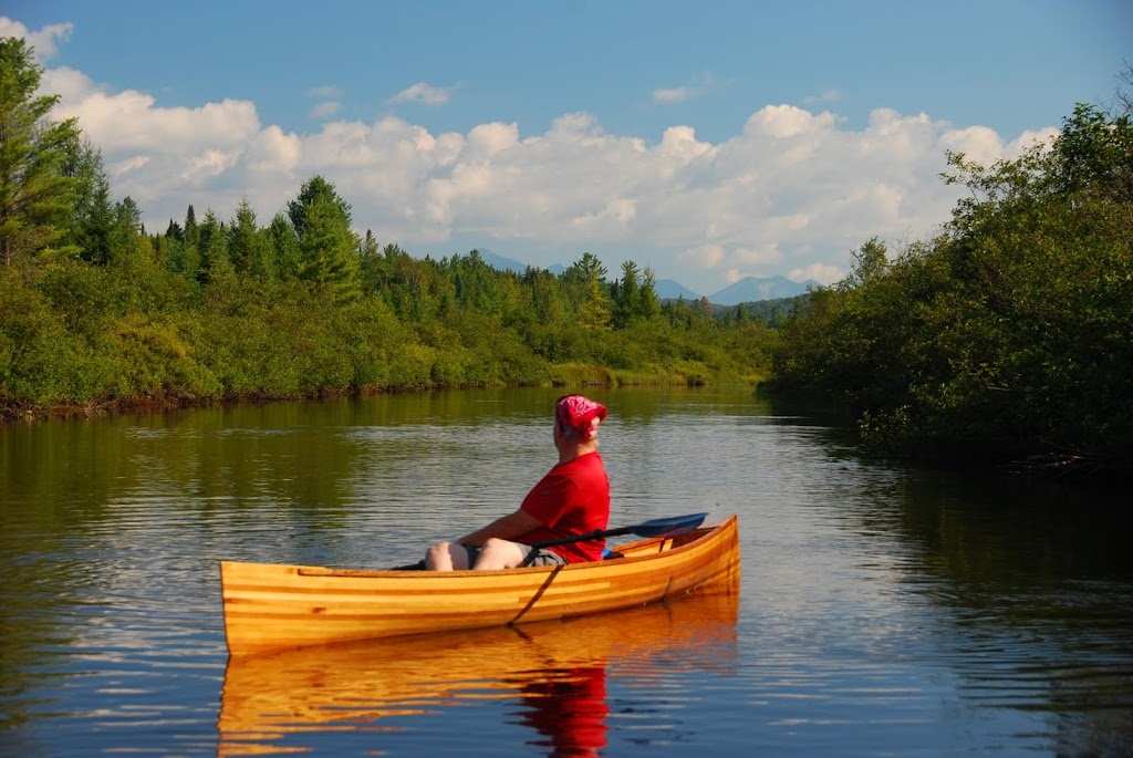
1. Flatwater above Lester Dam
2. Flatwater below Lester Dam.
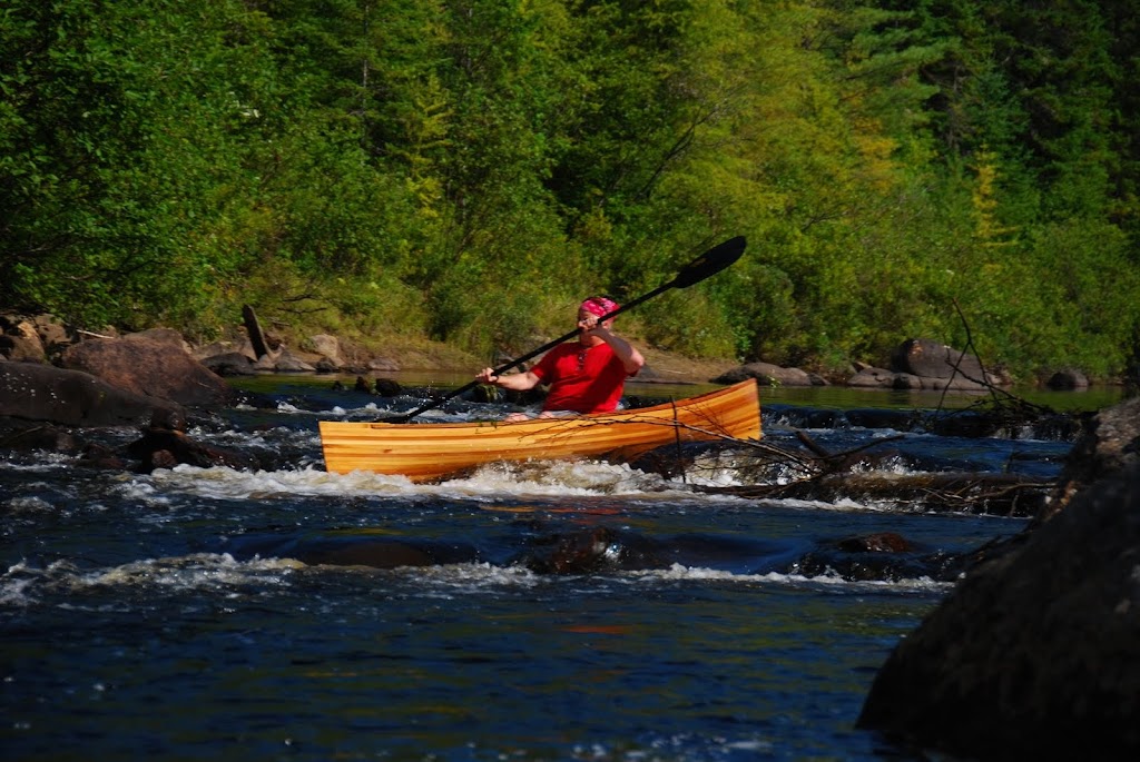
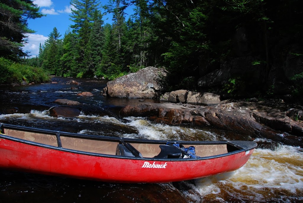
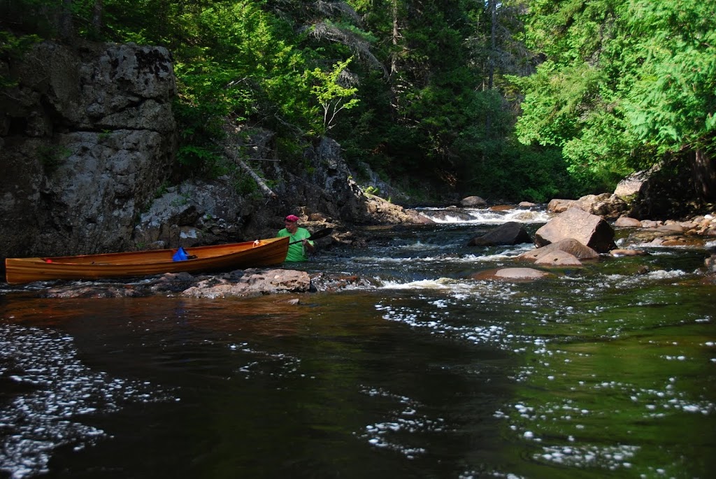
3. Rapids, ledges and falls below Lester Dam.
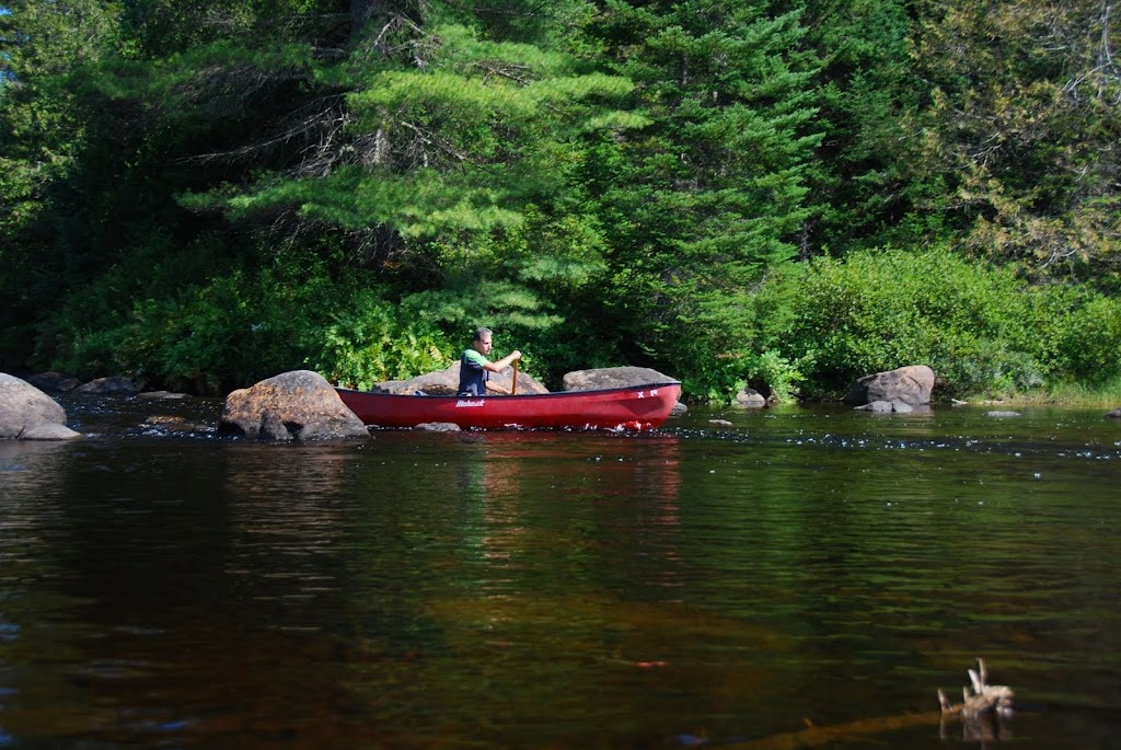
4. Rock gardens below Lester Dam.
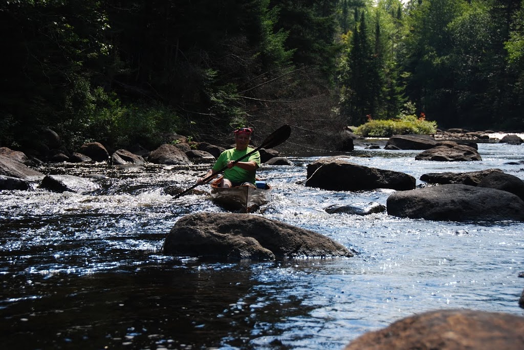
3 out of 4 of the above were really fun and enjoyable...the rock gardens, not so much. We had to line down about 1.5 miles of the river, no possibility of carrying, could barely penetrate the side growth along the river.
As a reference, water level at the USGS gaging station in North Creek was reading about 800 CFS on the day we paddled...not enough. We needed only another 4 or 6 inches to change misery to ecstasy.
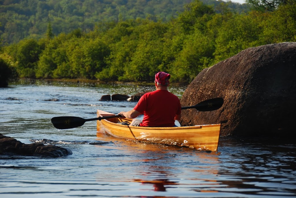
Here are a few photos to show what I mean...Oh, and yes, my buddy did take his wood strip Wee Lassie II over everything that I did in my Mohawk solo 13XL!!
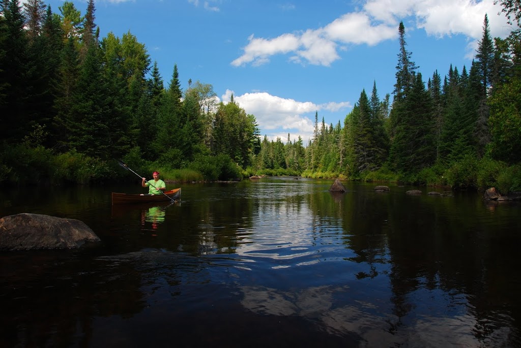
And that was that...just a quick 8.5 hour day trip. We saw no other paddlers, no trash or other footprints even, only two campsites along the river, picture perfect weather.
This is a seldom paddled stretch of the Boreas, and info was nearly non existent. From my GPS, I can tell you that the river drops an average of 25 ft/mile below Lester Dam.
Ultimately, there is no substitute for boots on the ground and a paddle in the water. I have many more photos in my Picasa link, and many, many more that I haven't posted.
Any questions?? Any takers???
I would split the trip into 4 distinct categories:
1. Flatwater above Lester Dam
2. Flatwater below Lester Dam.
3. Rapids, ledges and falls below Lester Dam.
4. Rock gardens below Lester Dam.
3 out of 4 of the above were really fun and enjoyable...the rock gardens, not so much. We had to line down about 1.5 miles of the river, no possibility of carrying, could barely penetrate the side growth along the river.
As a reference, water level at the USGS gaging station in North Creek was reading about 800 CFS on the day we paddled...not enough. We needed only another 4 or 6 inches to change misery to ecstasy.
Here are a few photos to show what I mean...Oh, and yes, my buddy did take his wood strip Wee Lassie II over everything that I did in my Mohawk solo 13XL!!
And that was that...just a quick 8.5 hour day trip. We saw no other paddlers, no trash or other footprints even, only two campsites along the river, picture perfect weather.
This is a seldom paddled stretch of the Boreas, and info was nearly non existent. From my GPS, I can tell you that the river drops an average of 25 ft/mile below Lester Dam.
Ultimately, there is no substitute for boots on the ground and a paddle in the water. I have many more photos in my Picasa link, and many, many more that I haven't posted.
Any questions?? Any takers???