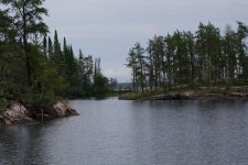
The only good news is that they are never steep. They are always long, sometimes submerged from beaver activity and not maintained very often. If you follow my GPS coordinates you will not veer off onto the local trapper's snowmobile route that really get swampy and mucky. There are some real good stories on canoestories.com that are entertaining reading. http://canoestories.com/fly_in_paddle_out.htmThanks guys, Martin - excellent map that helps a lot. So are the mothers tough because they are swampy, mucky - hard to find, steep, looooong ... what is it that make them so difficult? Also, are they open from the snow event - I am guessing there are not a lot of travelers in that area until the Bloodvein.
-
Happy National Zipper Day (pat. 1913)! 🤐
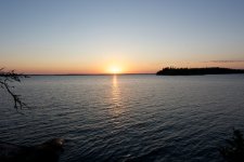
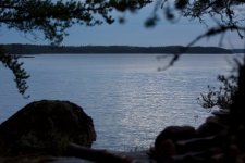
East end of WCPP to Lake Winnipeg via the Blood Vein - any suggestions?
- Thread starter Bob B.
- Start date